Diamond
Down
Diamond Creek to Pearce Ferry · Arizona
35.7667° N · 113.3734° W Diamond Creek · approximate
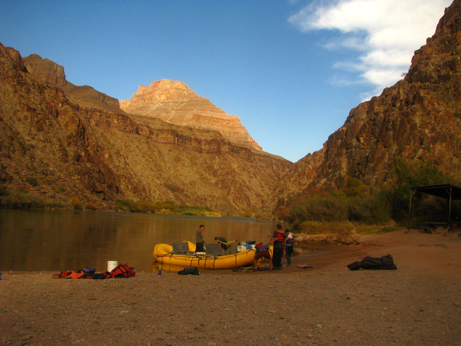
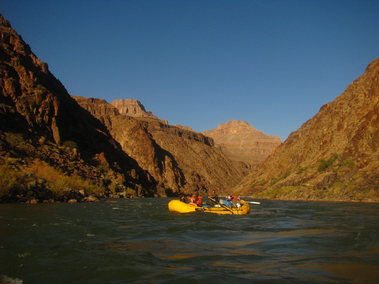
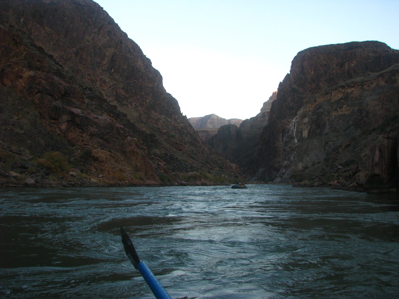
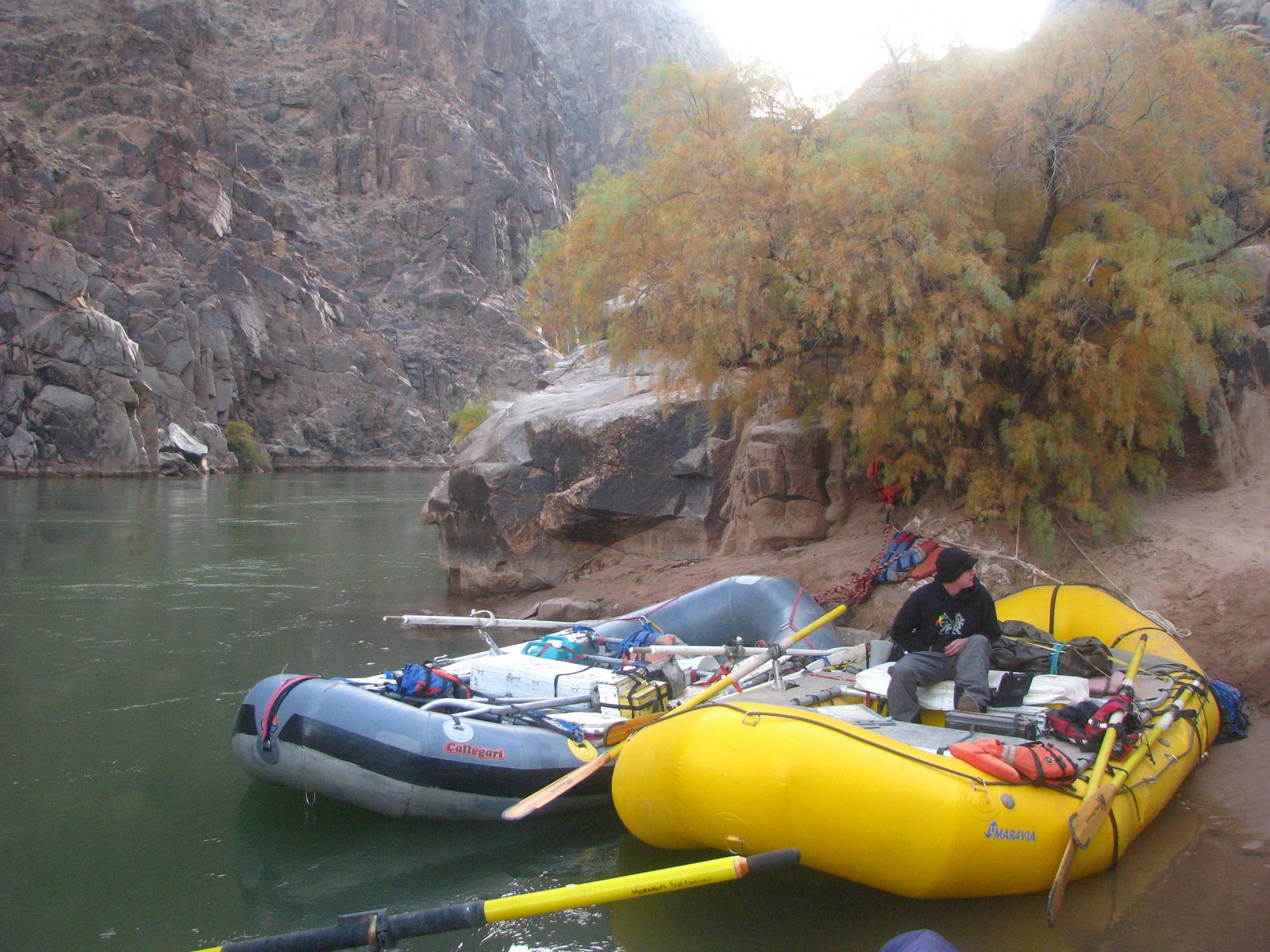
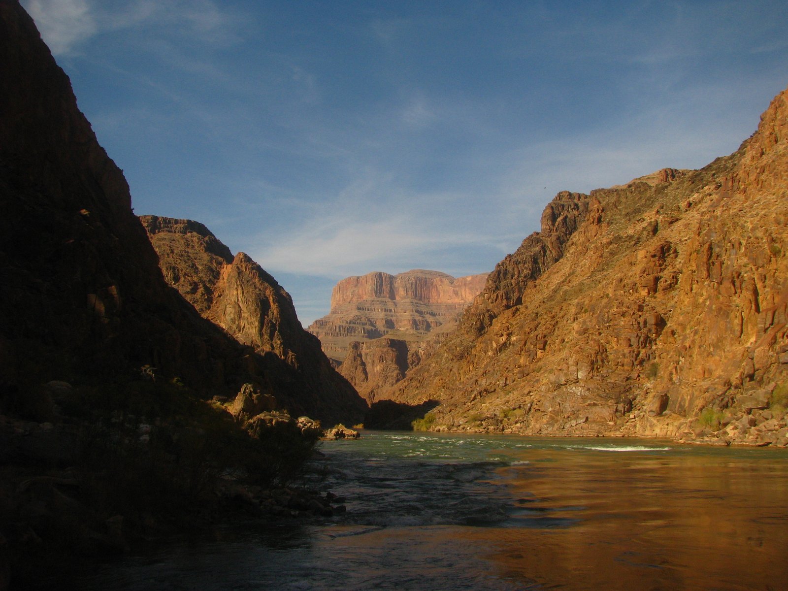
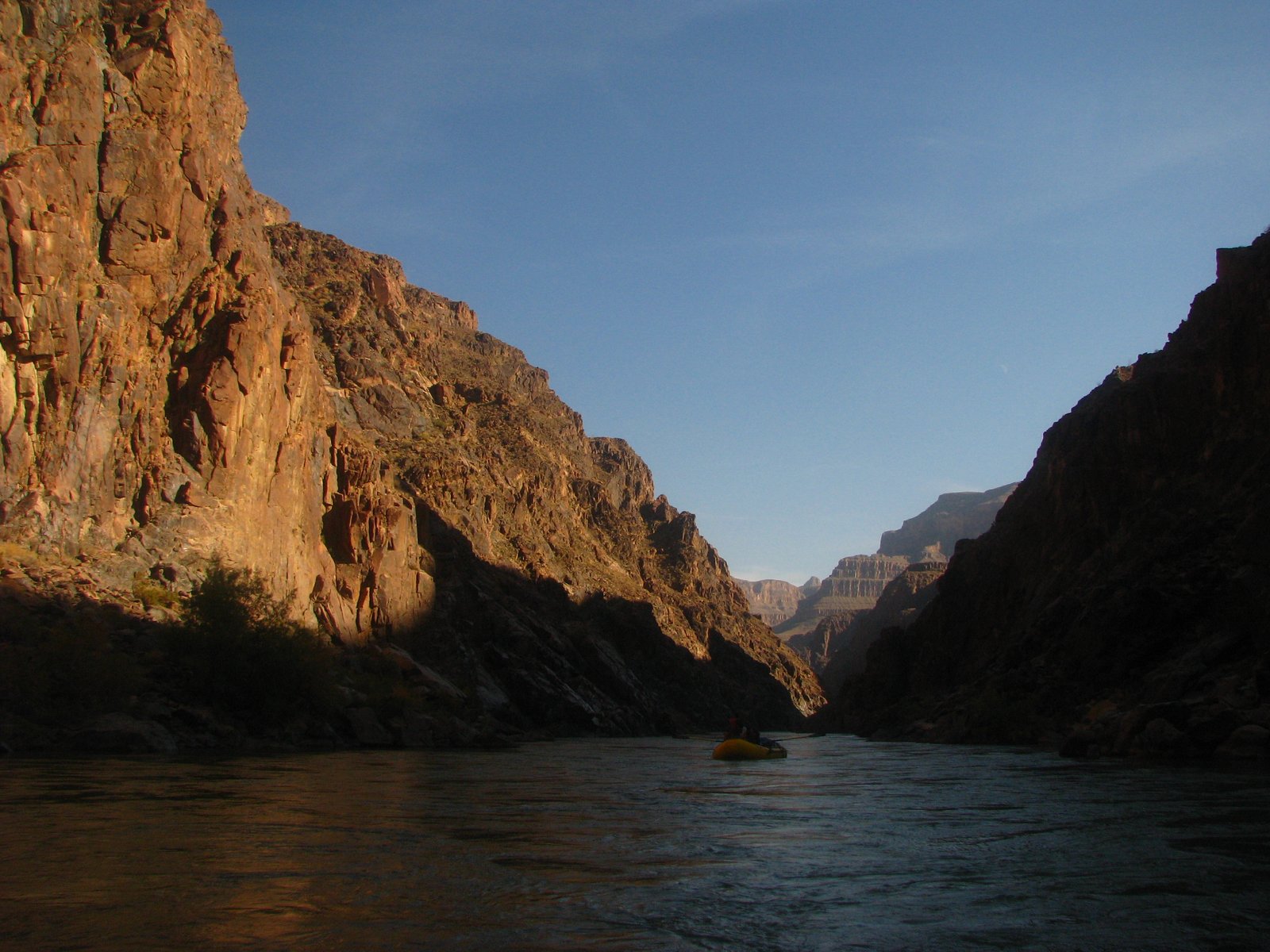
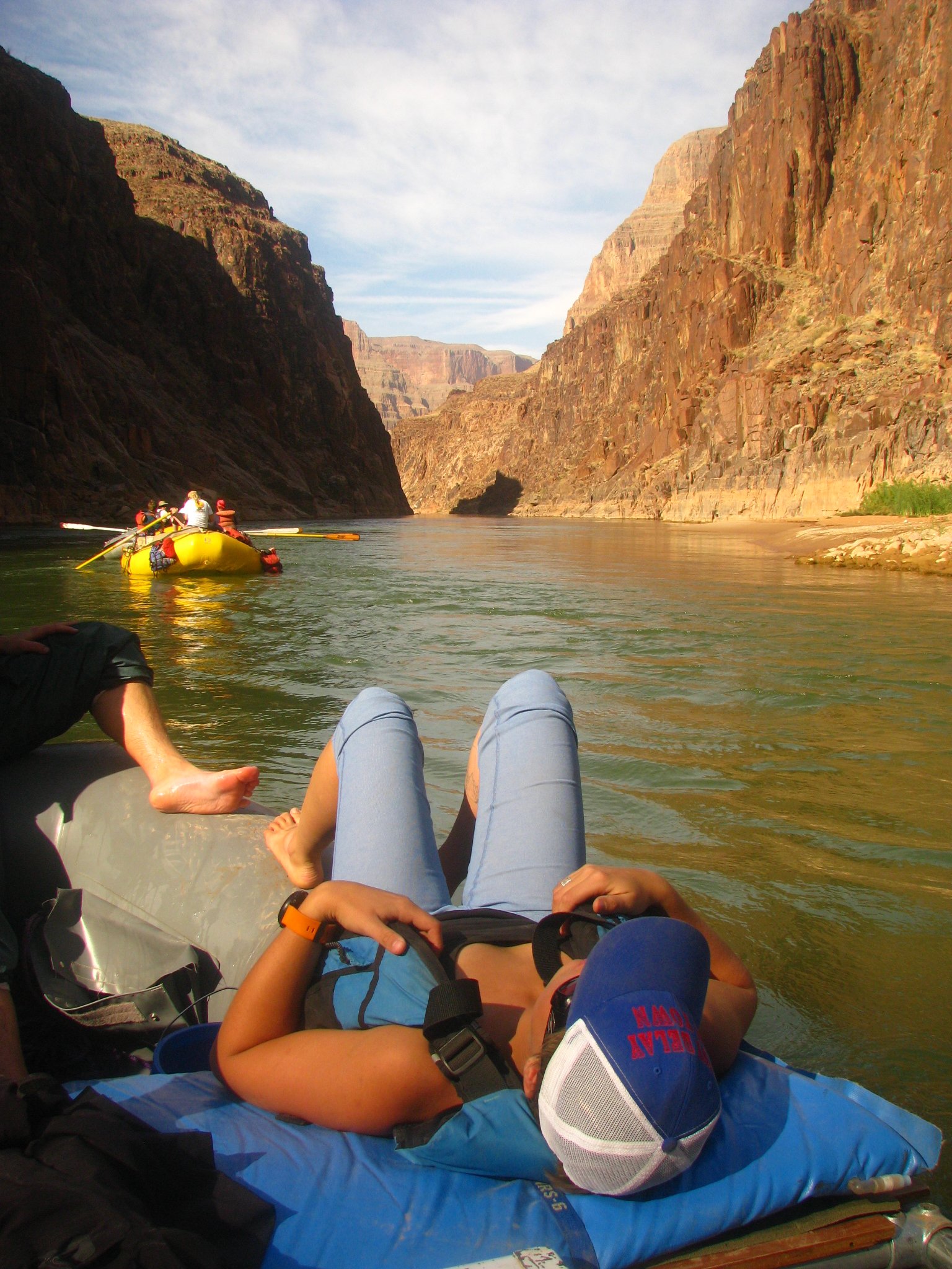
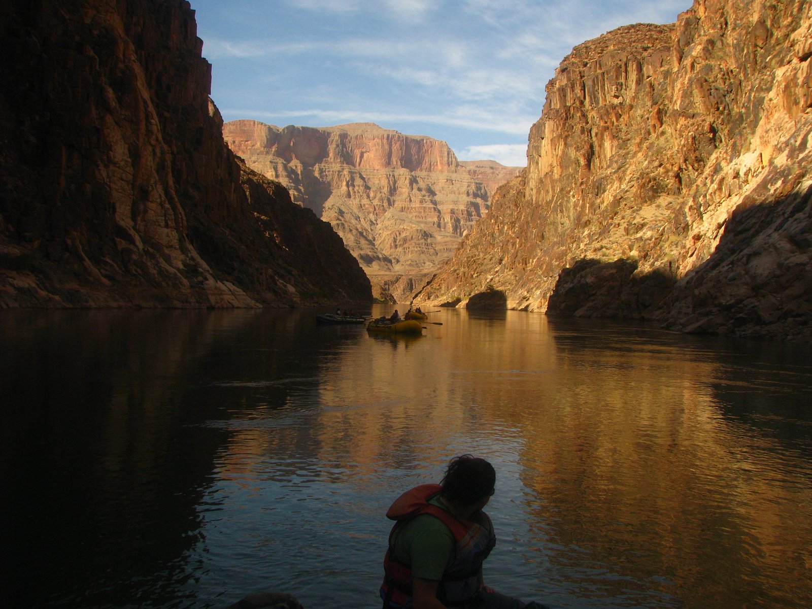
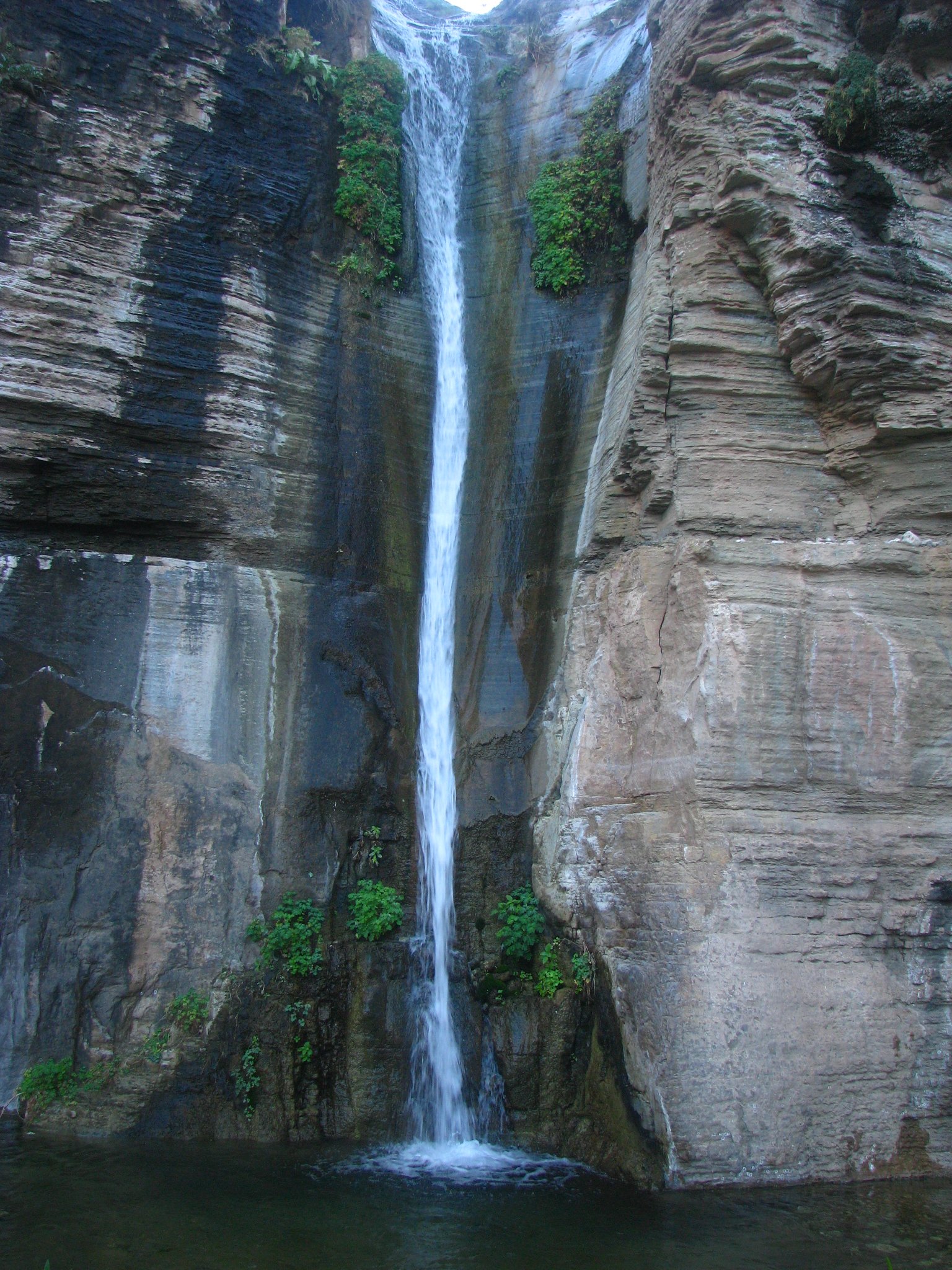
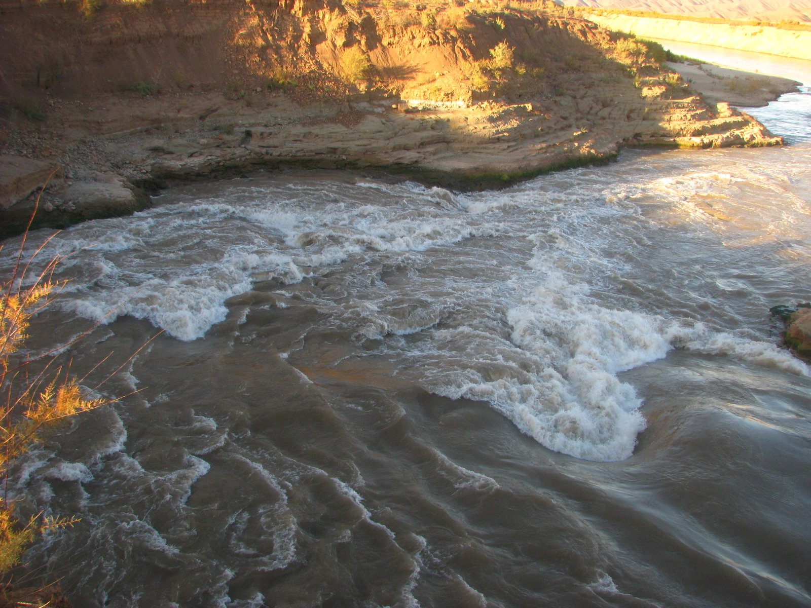
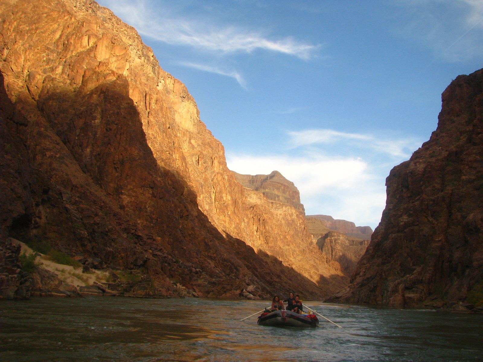
Diamond Creek gives the river another beginning. A few early rapids keep everyone honest, then the Colorado settles into the long western reaches of Grand Canyon, with dark rock at the water and pale cliffs high above.
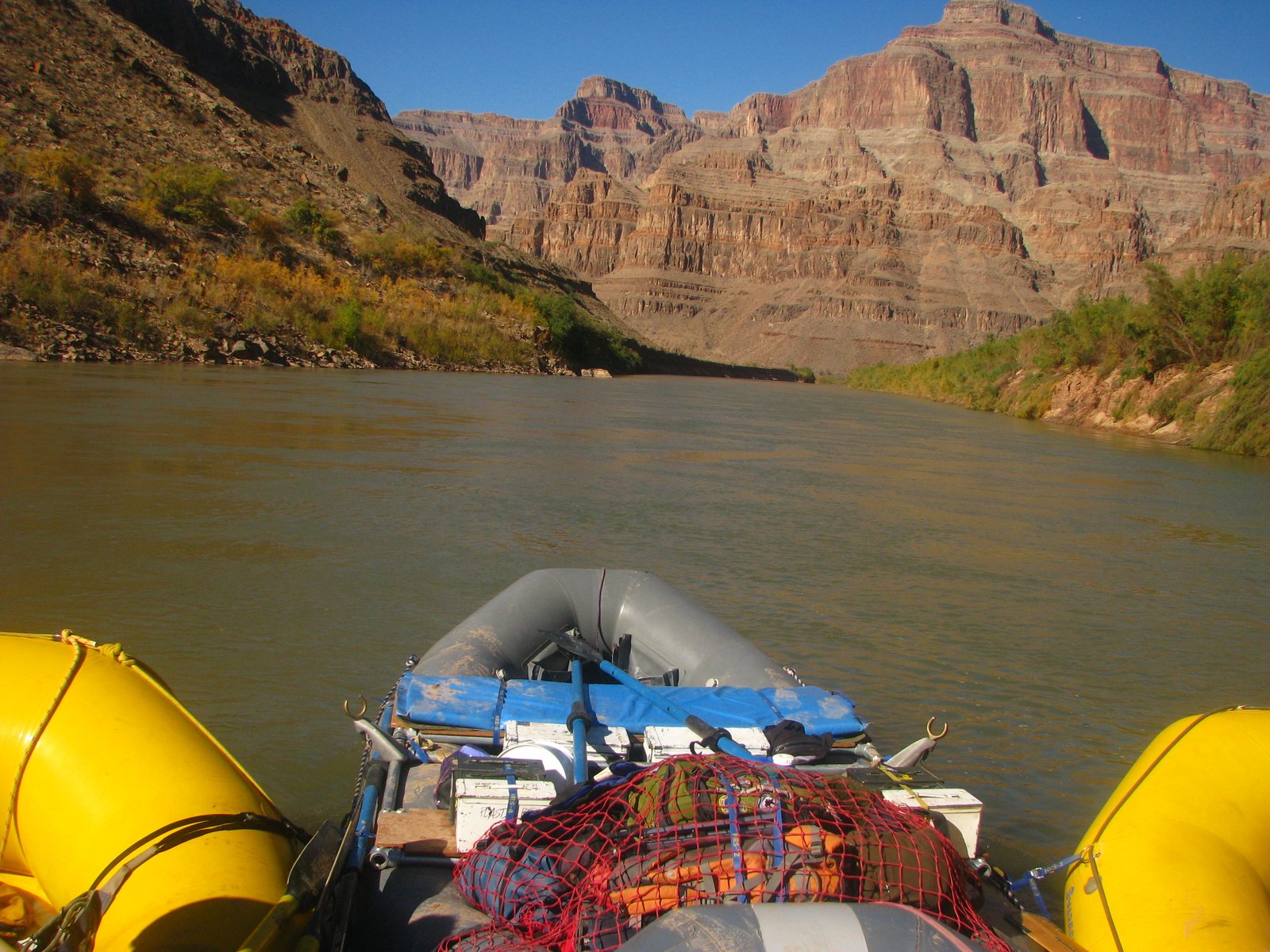
Toward Pearce Ferry, the walls fall away and the open country beyond Grand Wash comes into view. The river keeps moving, with the big sky ahead and the last miles of canyon behind.
Overview
- Type
- Lower Gorge whitewater
- Length
- ≈55 river miles
- Difficulty
- Variable river conditions
- Launch
- Permit required
- Access
- Permits & conditions ↗
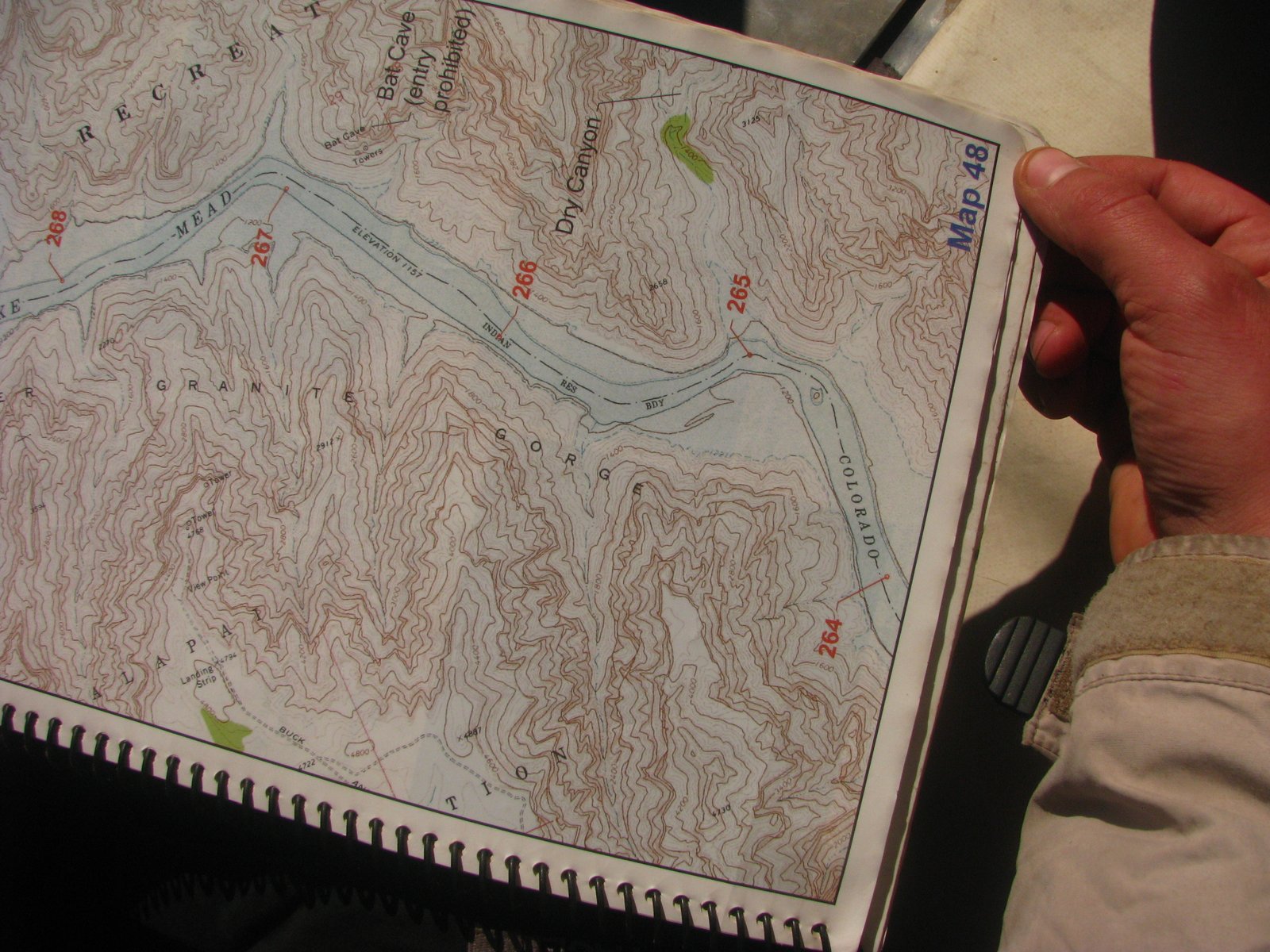
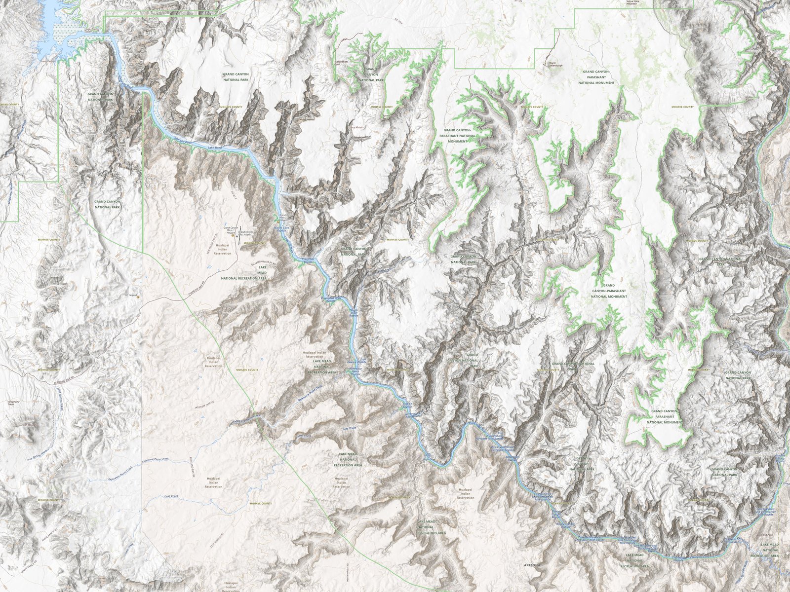
The Lower Gorge runs west from Diamond Creek through the final reaches of Grand Canyon. The mapped reference corridor ends at the modern Pearce Ferry take-out, about 55 river miles downstream in the displayed USGS mileage system. Early rapids give way to longer reaches of open water as the canyon approaches Grand Wash.
Reference corridor: Diamond Creek to Pearce Ferry. Trip archive: November 21, 2009.
Route & map
- Colorado River
- Access points
Diamond Creek to Pearce Ferry · approximate river positions.
Basemaps and river geography: USGS / Esri. USGS river-mile system. Pearce Ferry landing reference: OpenStreetMap contributors. Positions are approximate; no running lines, current hazards, or camps are mapped.
Geology
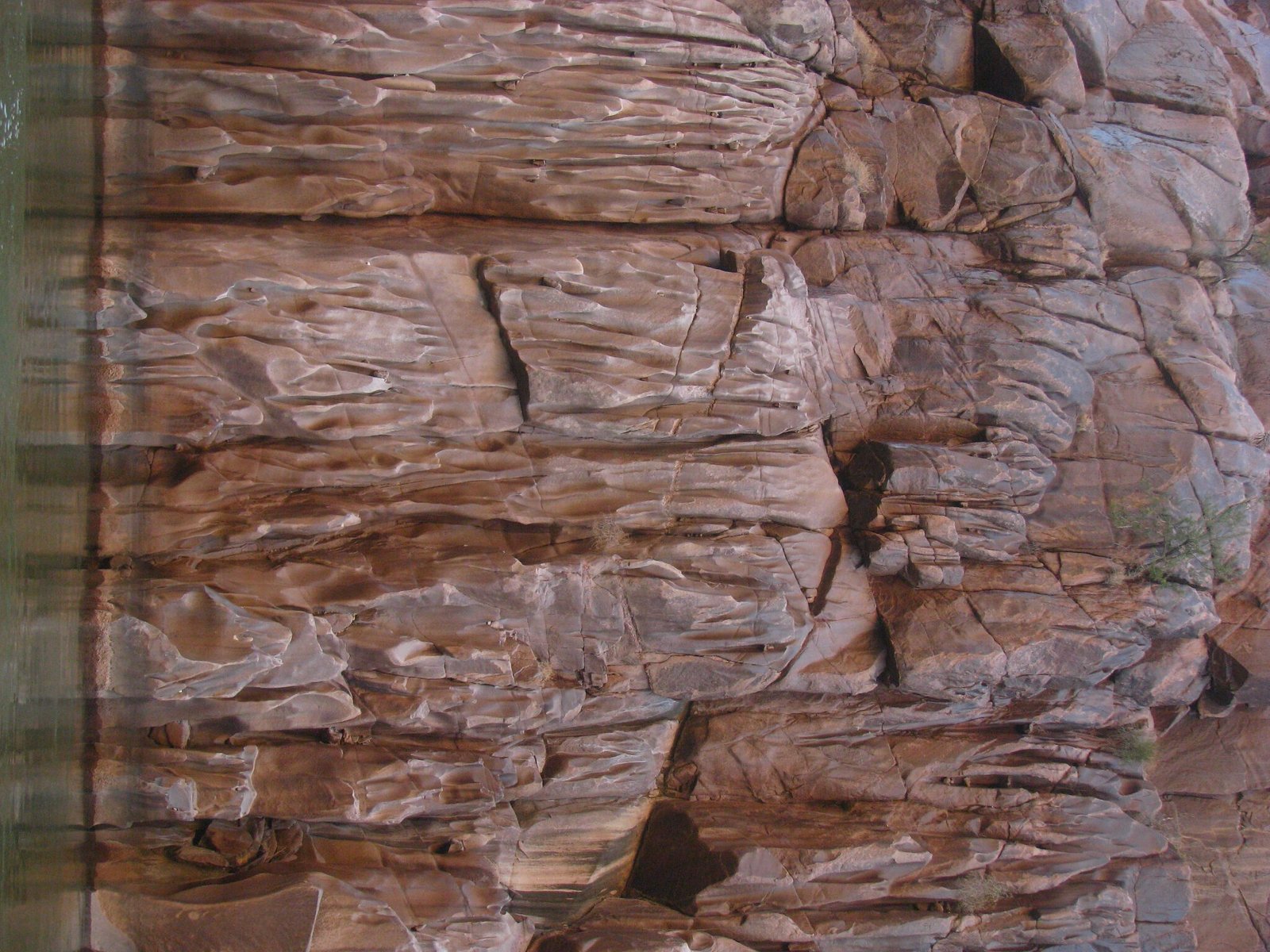
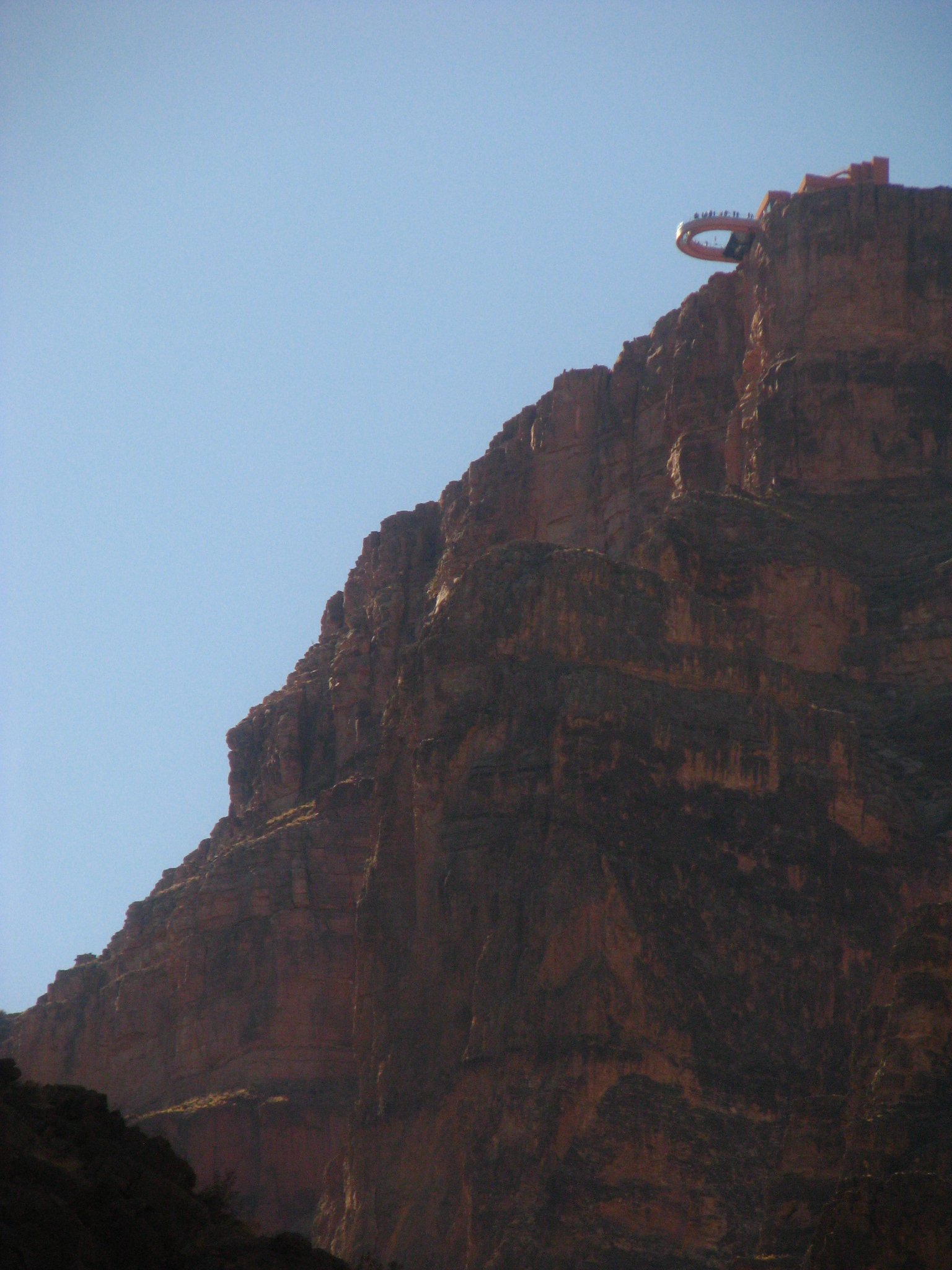
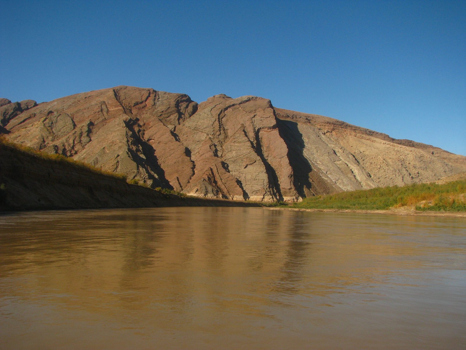
The Lower Gorge exposes older crystalline rocks beneath the canyon's stacked sedimentary layers. Folded bands at river level give way to pale and rusty cliffs above; tributary mouths and loose rock break up the walls and shape the channel.
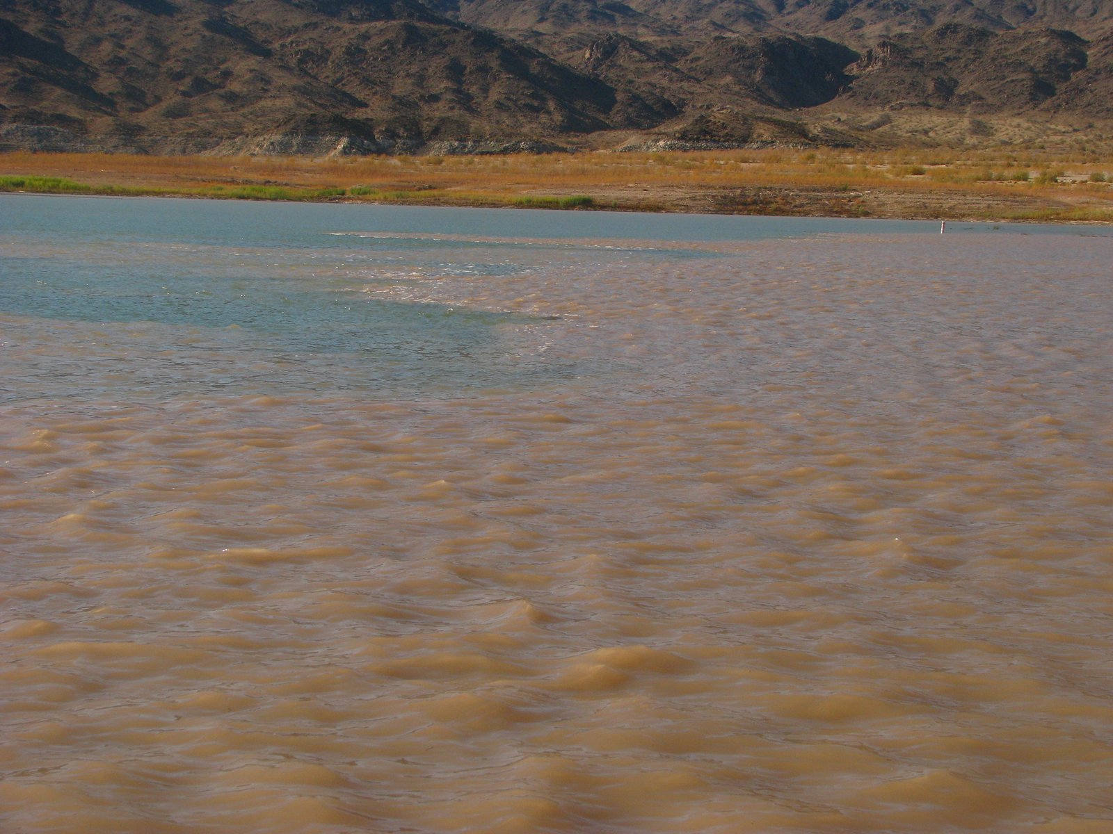
Farther west, the high walls give way toward Grand Wash and the more open country around the head of Lake Mead. It is a gradual change best watched from the water.
Hazards
Prepare for whitewater, cold water, flash floods in side canyons, and strong winds on the more open reaches. The lower river and its landings can change as channels, sandbars, and Lake Mead levels shift. The mapped route ends at the Pearce Ferry landing, above Pearce Ferry Rapid.
Check the park's current Lower Gorge permits and requirements. Diamond Creek Road crosses Hualapai land and requires separate access arrangements and a road-condition check. Confirm the Pearce Ferry landing and local conditions before departure.
Photo albums
1 trip 32 photographs
Select a visit to open its photographs.