Grand
Canyon
Colorado River · Arizona
36.8649° N · 111.5879° W Lees Ferry · approximate
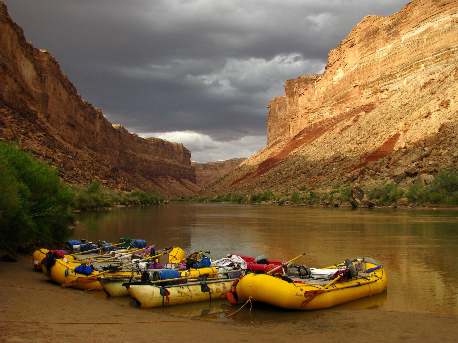
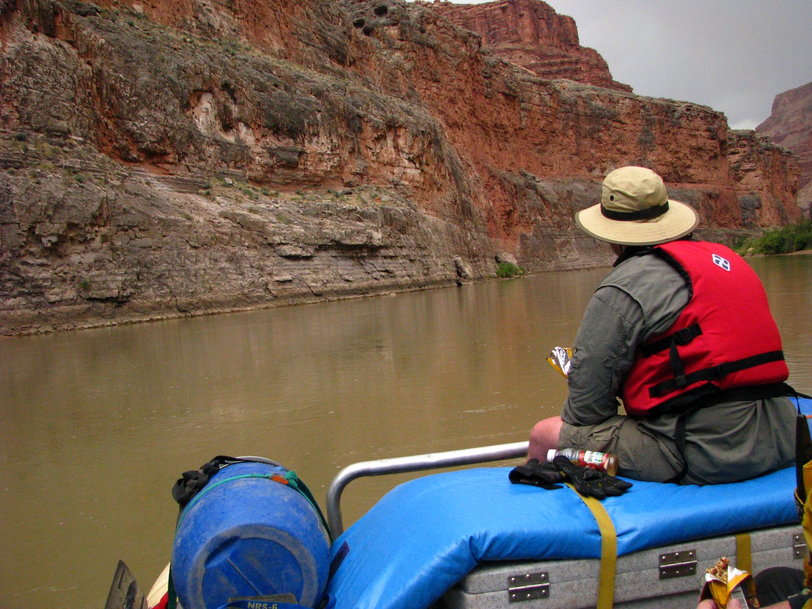
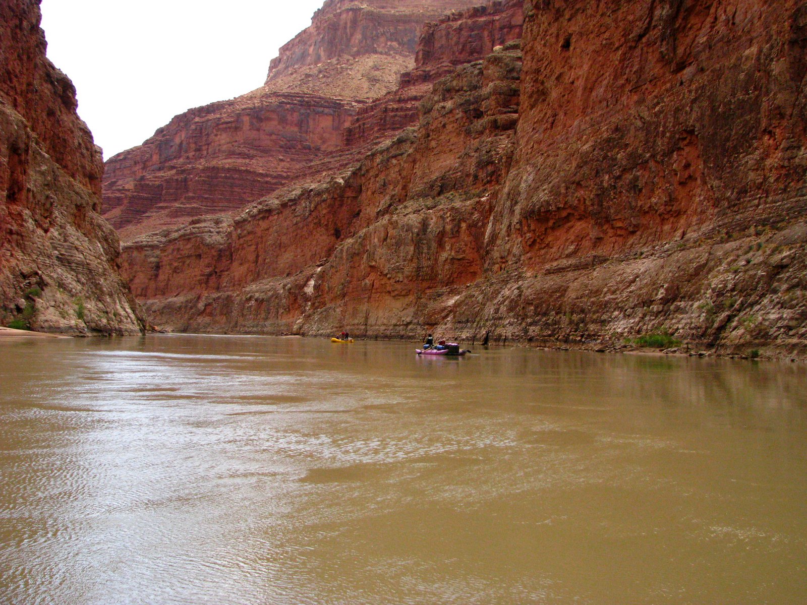
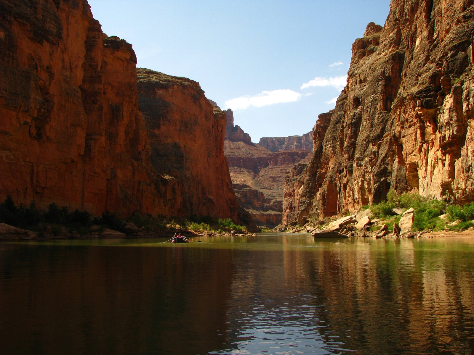
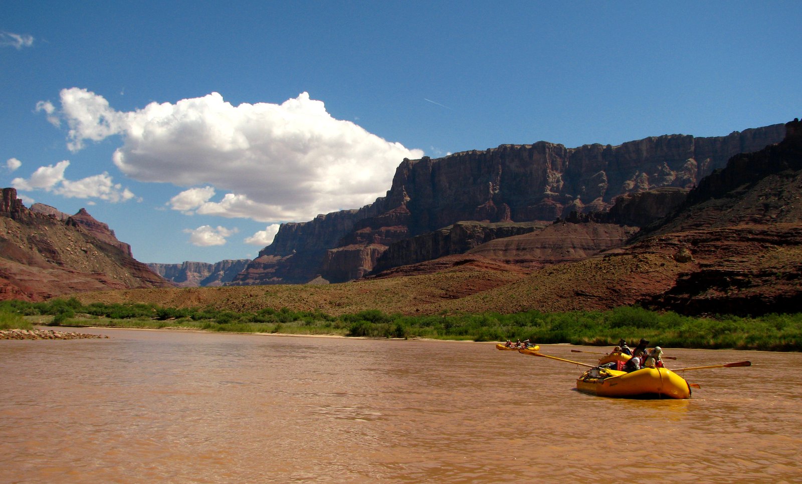
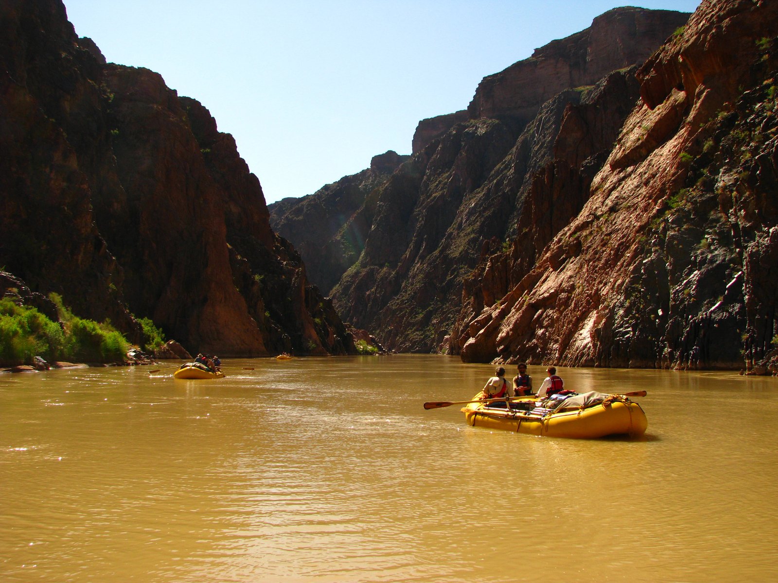
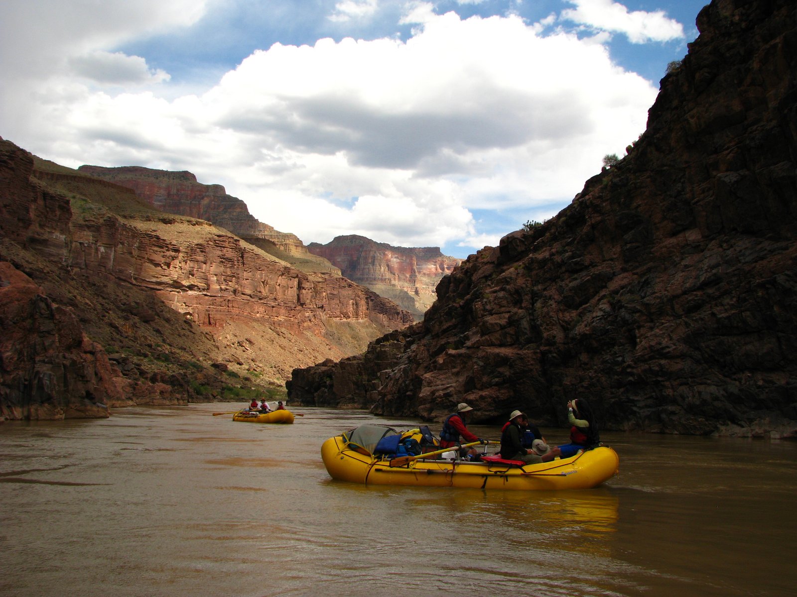
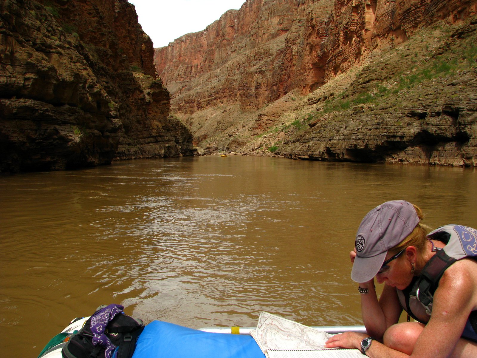
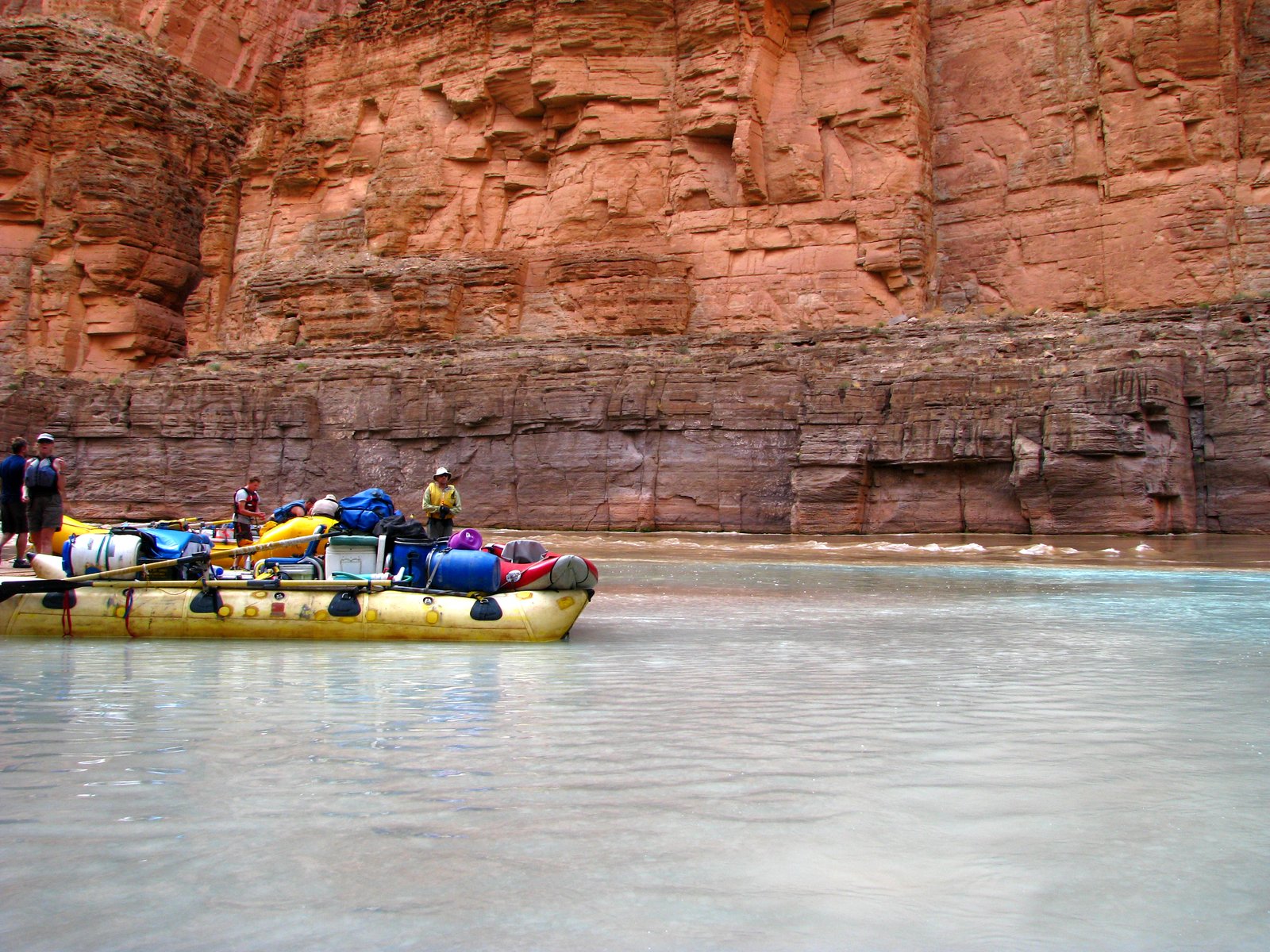
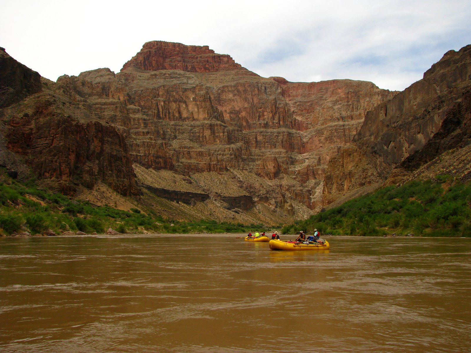
At Lees Ferry, the boats are still small enough to make sense of. Then the walls rise, the bridges disappear behind a bend, and the Colorado begins to show how much country a river can hold.
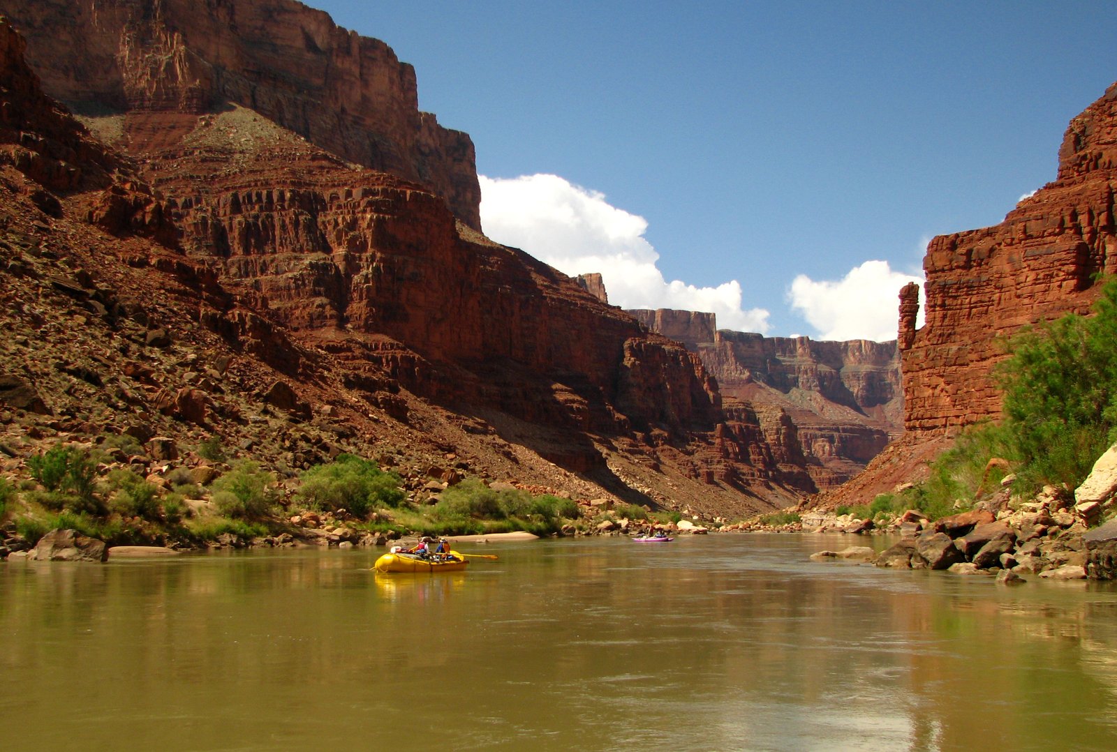
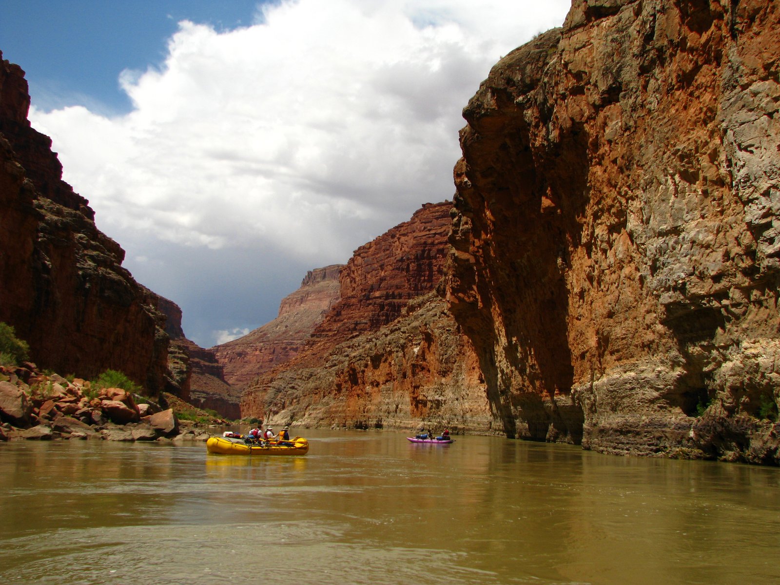
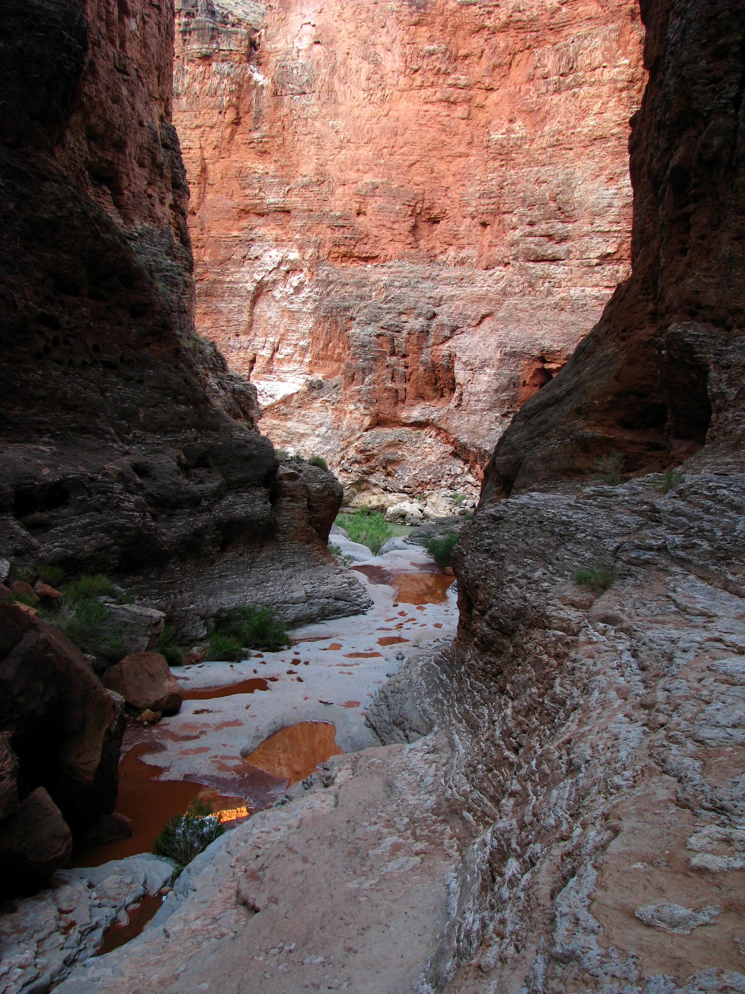
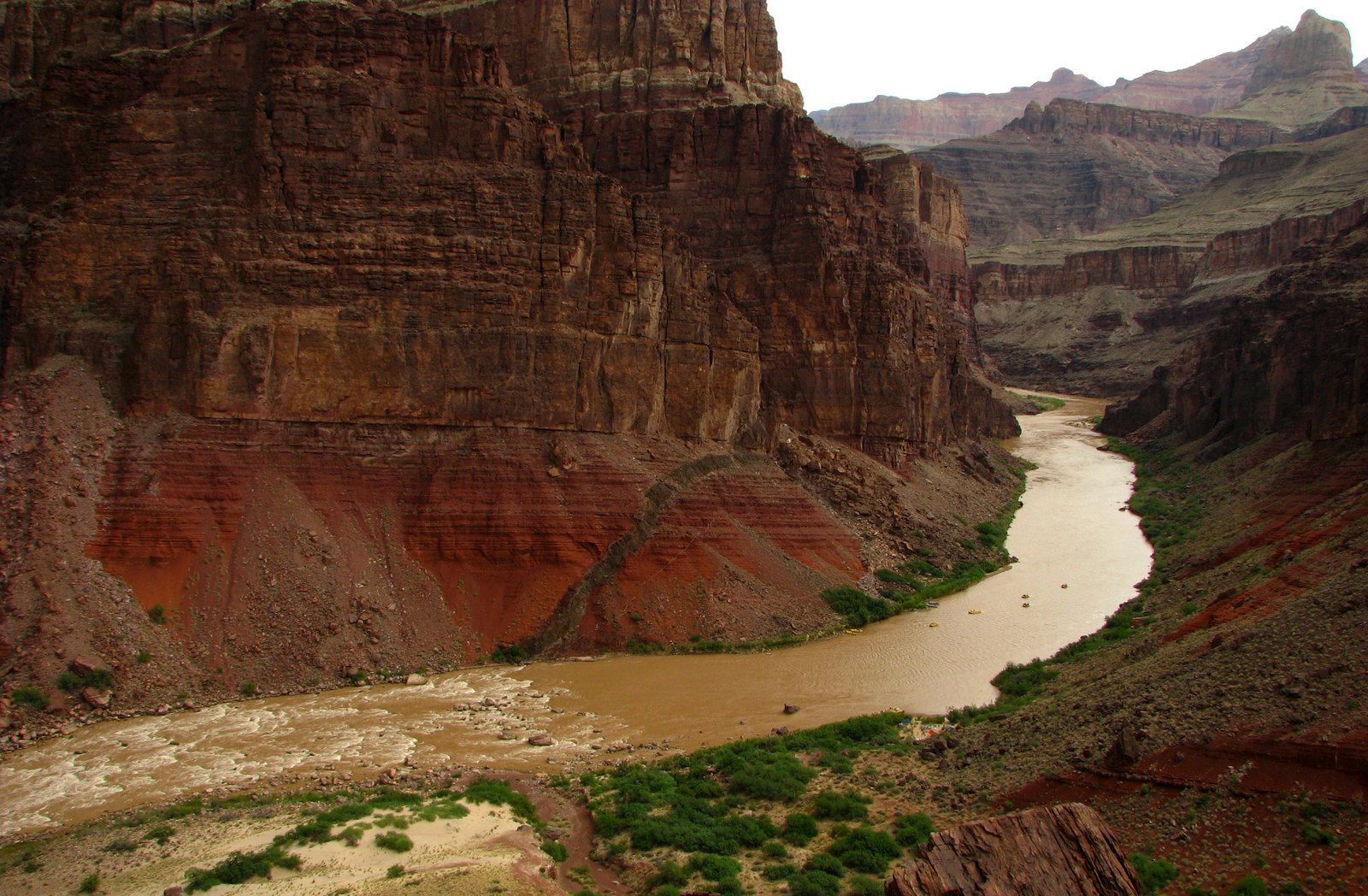
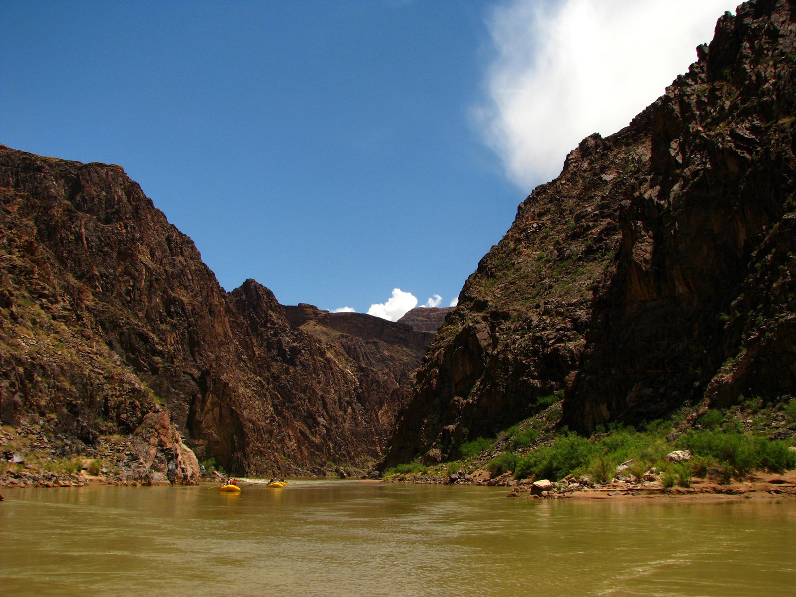
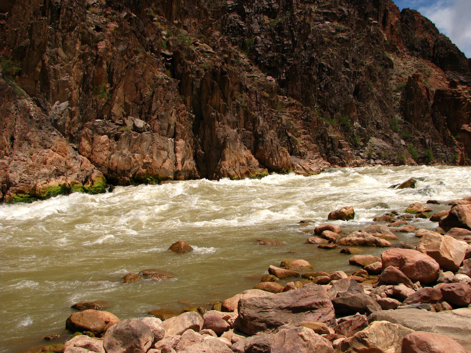
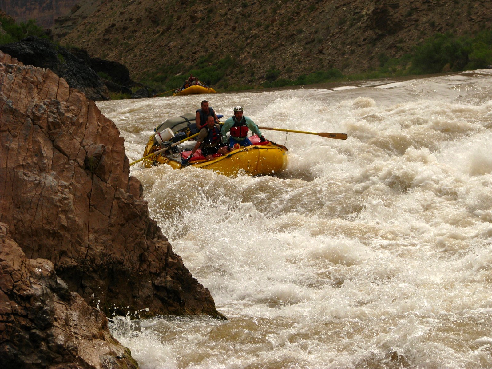
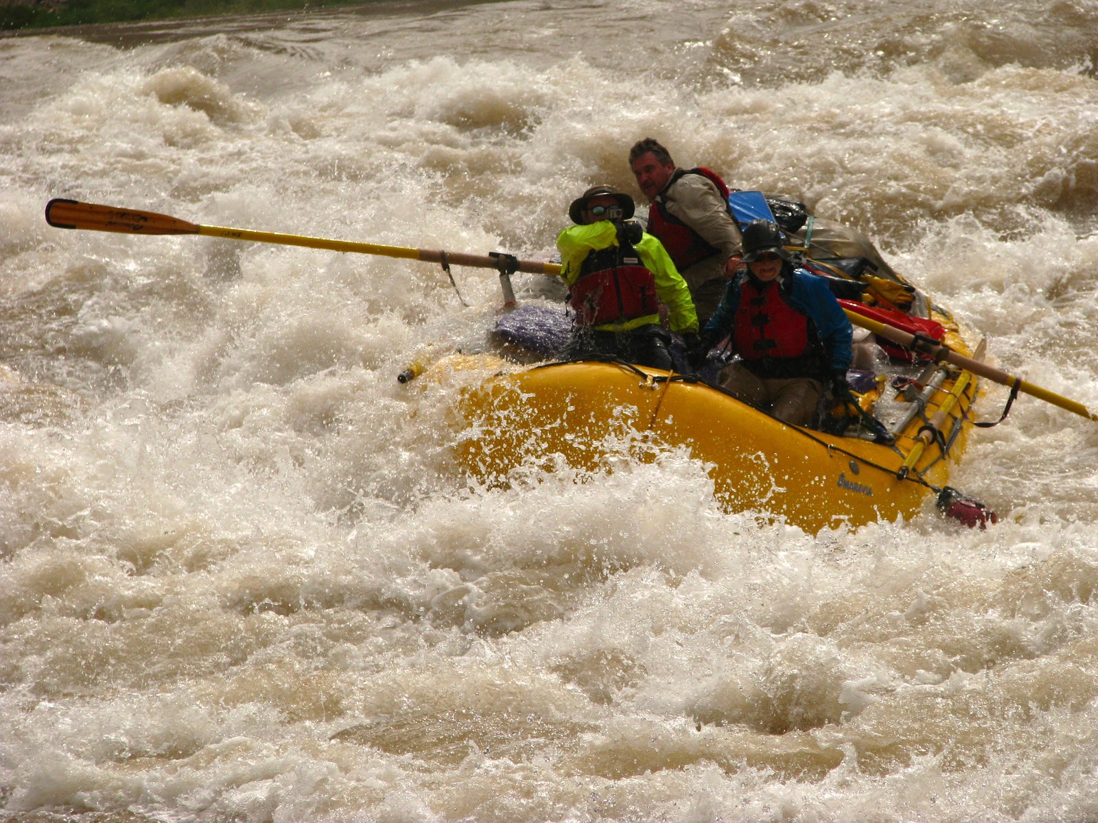
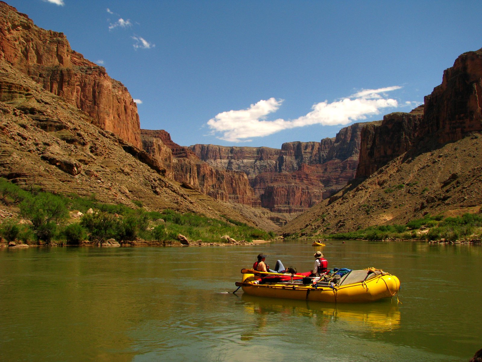
Marble Canyon, the granite gorges, the long western reaches: the trip to Diamond Creek carries you through one canyon after another. Big rapids break up the miles. Between them are sandbars, side streams, and stretches of water where the only useful thing to do is look.
Overview
- Type
- Big-water expedition
- Length
- ≈226 river miles
- Difficulty
- Technical whitewater
- Launch
- Permit required
- Access
- Permits & conditions ↗
From Lees Ferry, the Colorado enters Marble Canyon, passes the Little Colorado River, and cuts through the inner gorges before reaching the broad western canyon. This page follows the river to the Diamond Creek take-out, about 226 miles downstream. It ends before Diamond Creek Rapid.
Reference corridor: Lees Ferry to Diamond Creek. Archive date: May 23, 2009; no end date recorded.
Route & map
- Colorado River
- Access points
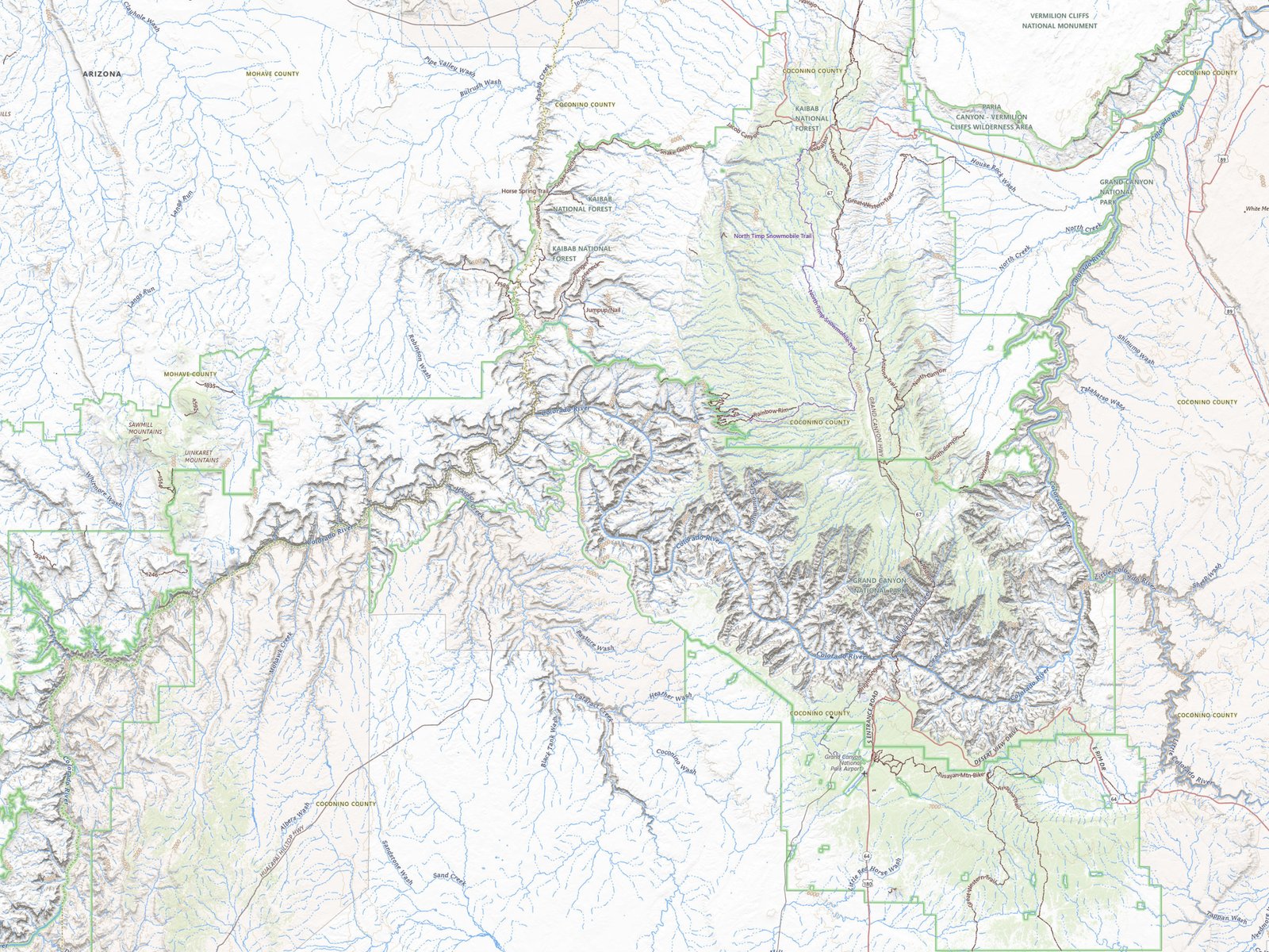
Lees Ferry to Diamond Creek · approximate river positions.
Basemaps and river geography: USGS / Esri. USGS river-mile system. Positions are approximate; this map does not show running lines, current hazards, or camps.
Geology
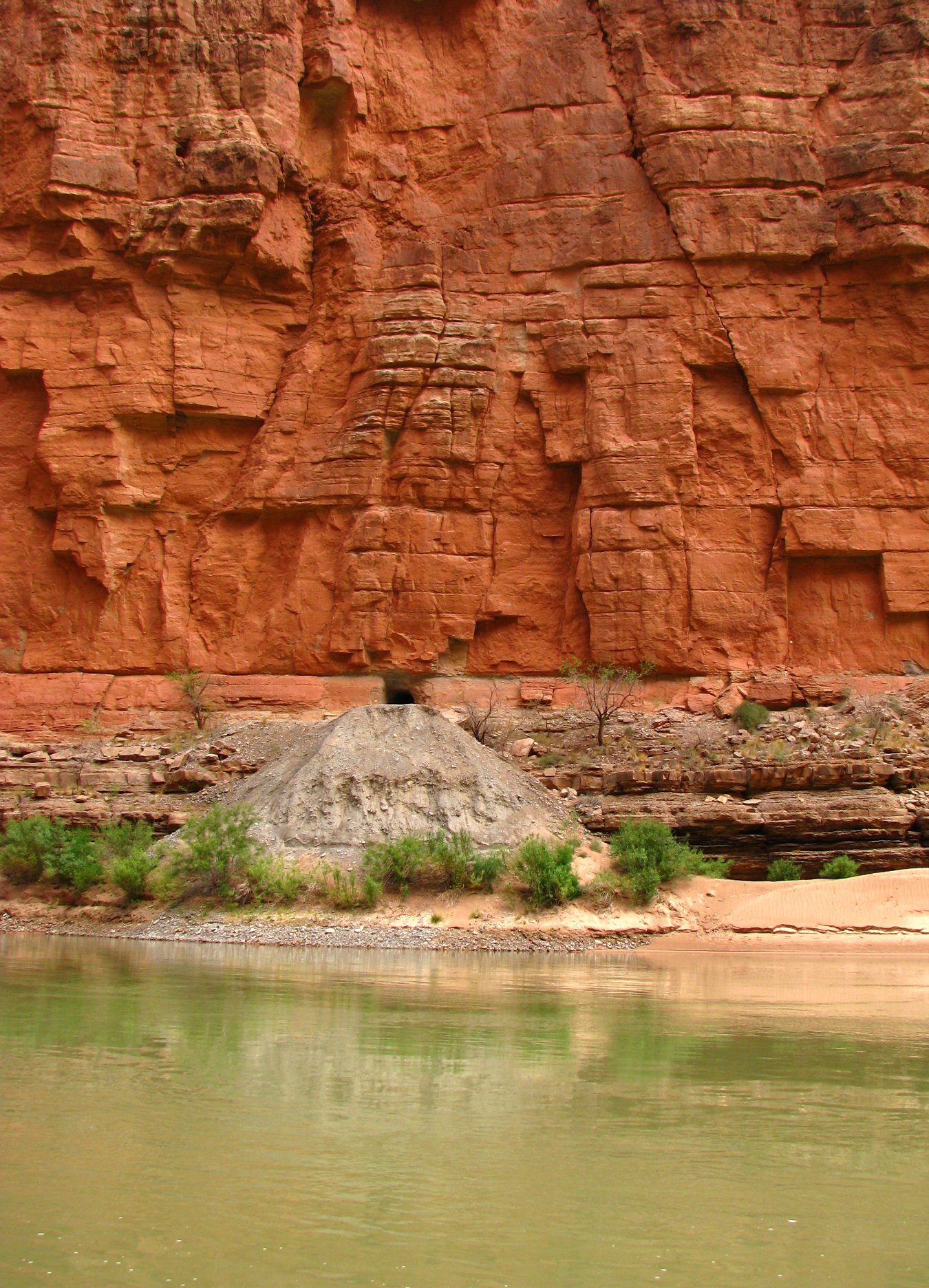
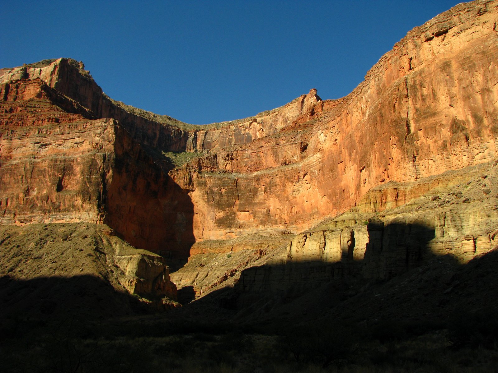
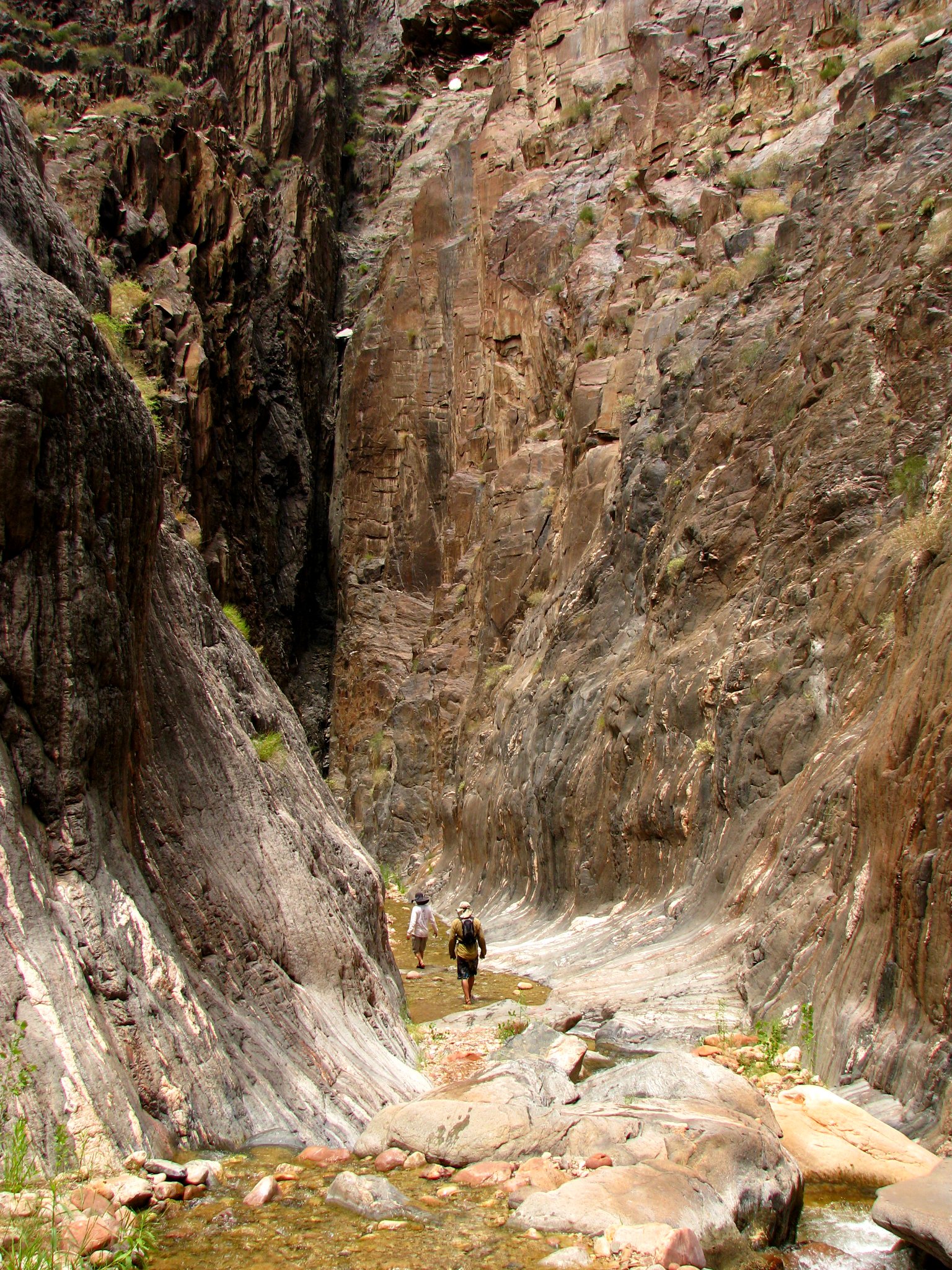
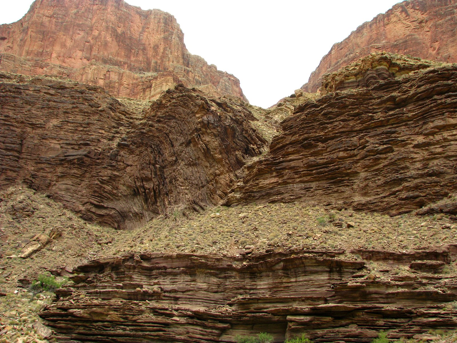
The river cuts down through a stack of sandstone, shale, and limestone before reaching the older crystalline rocks of the inner gorges. Those dark, contorted rocks formed deep in the earth; the younger layers above them record seas, shorelines, and deserts.
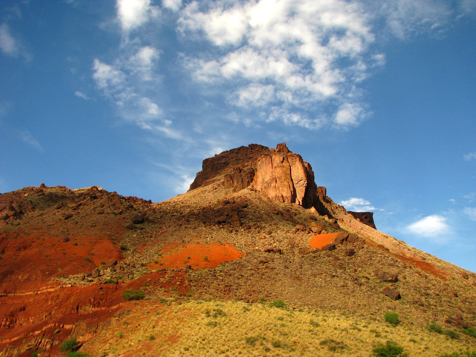
Farther west, lava spilled over the rim and into the canyon. Rockfalls, tributary debris, and the river itself continue to shape the channel. The canyon is an old exposure with a landscape still being made.
Hazards
This is a remote, technical river expedition. Powerful rapids, cold water, heat, flash floods in side canyons, and difficult evacuations require experienced boaters and a self-sufficient group. Rapid difficulty and usable landings change with flow.
Check the park's current river permits and requirements. Diamond Creek access crosses Hualapai land and requires separate arrangements, fees, and a road-condition check. Diamond Creek access information ↗
Photo albums
1 trip 144 photographs
Select a visit to open its photographs.