Salt
River
Salt River Canyon · Arizona
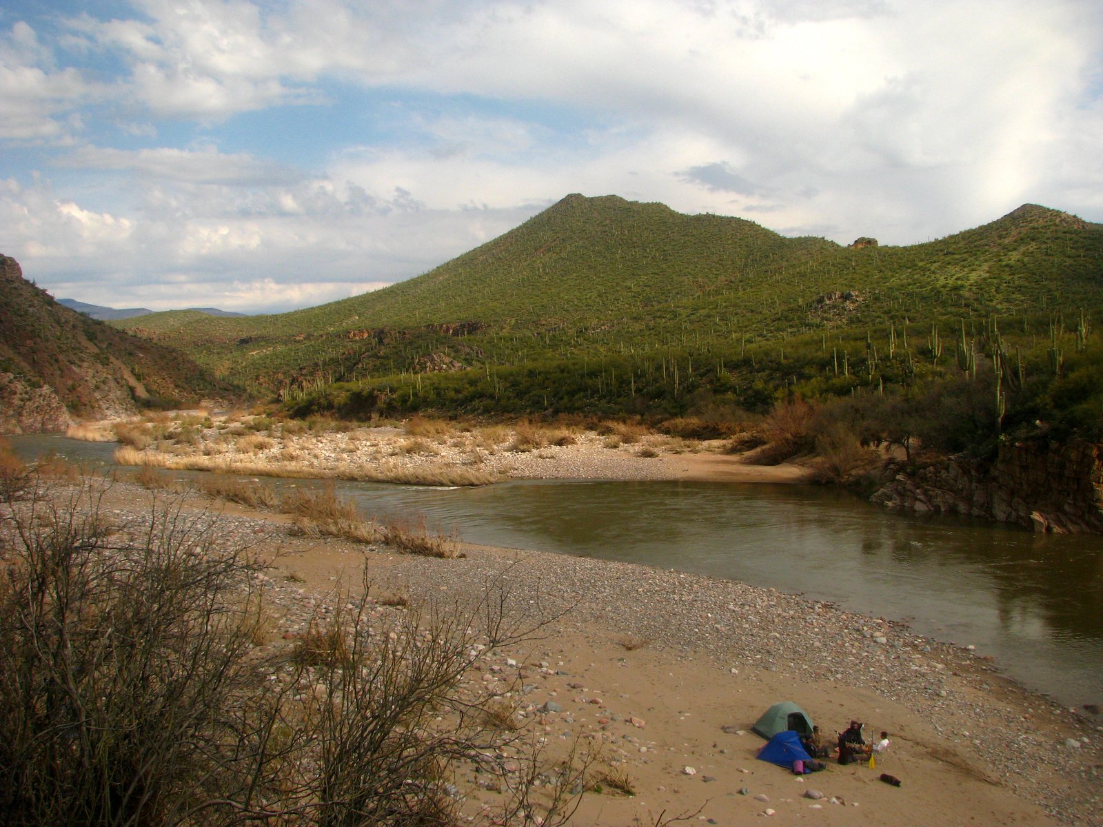
33.8013° N · 110.5097° W First Campground · approximate
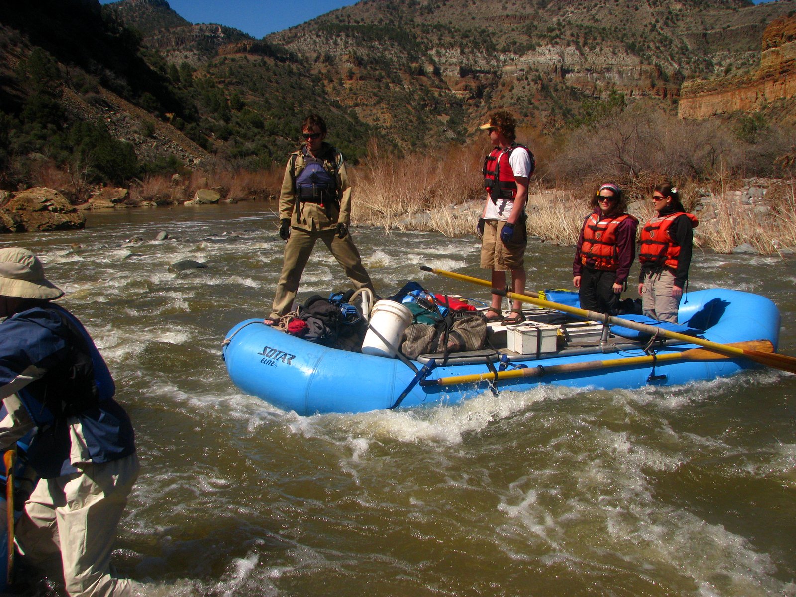
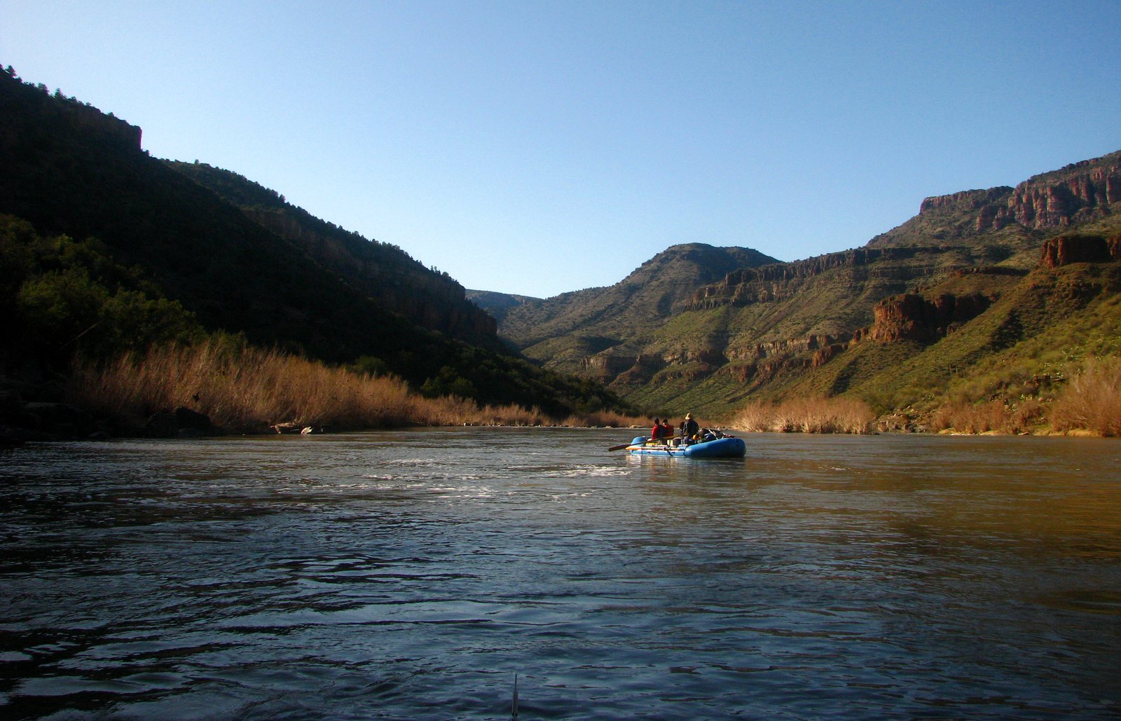
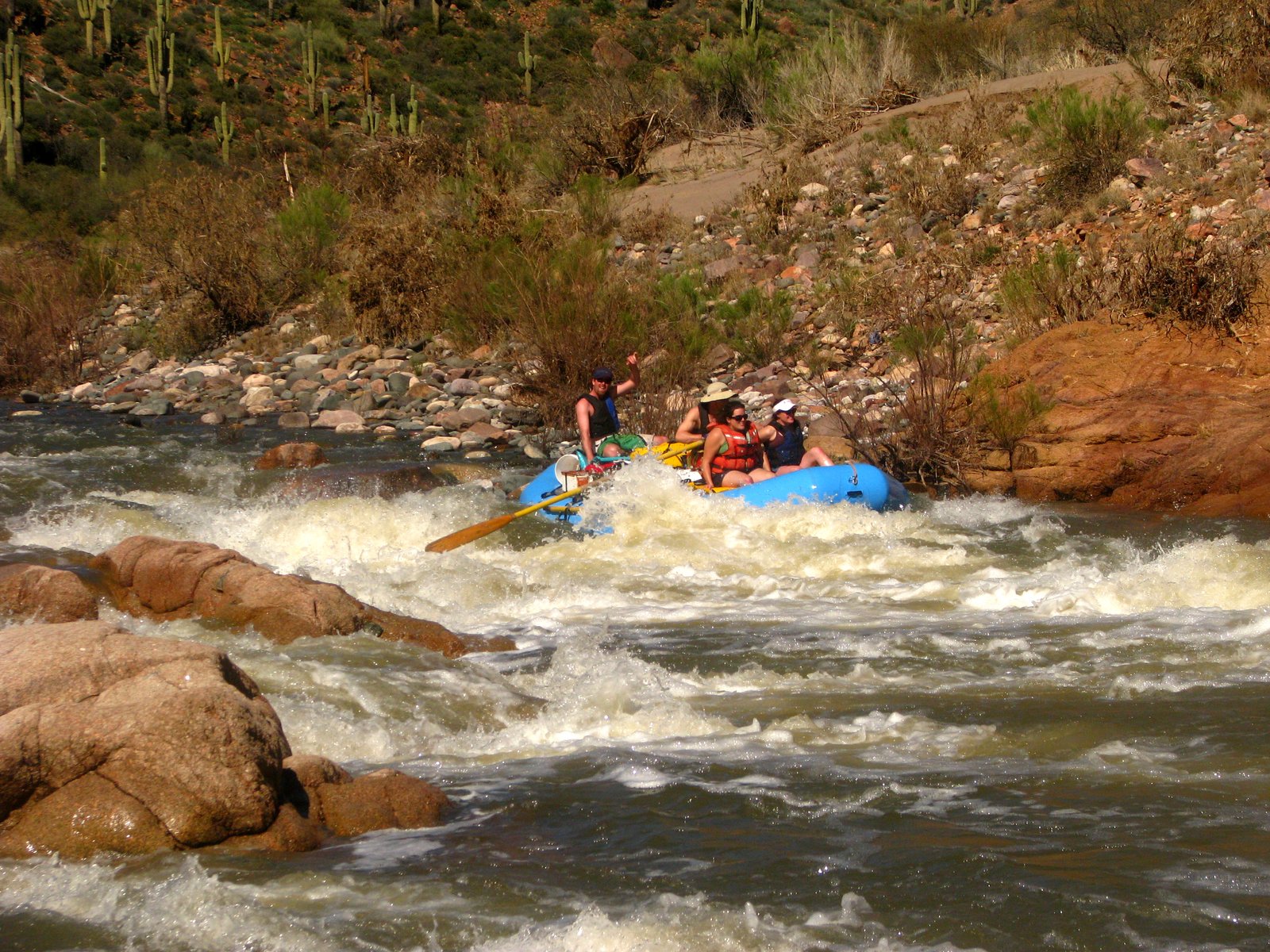
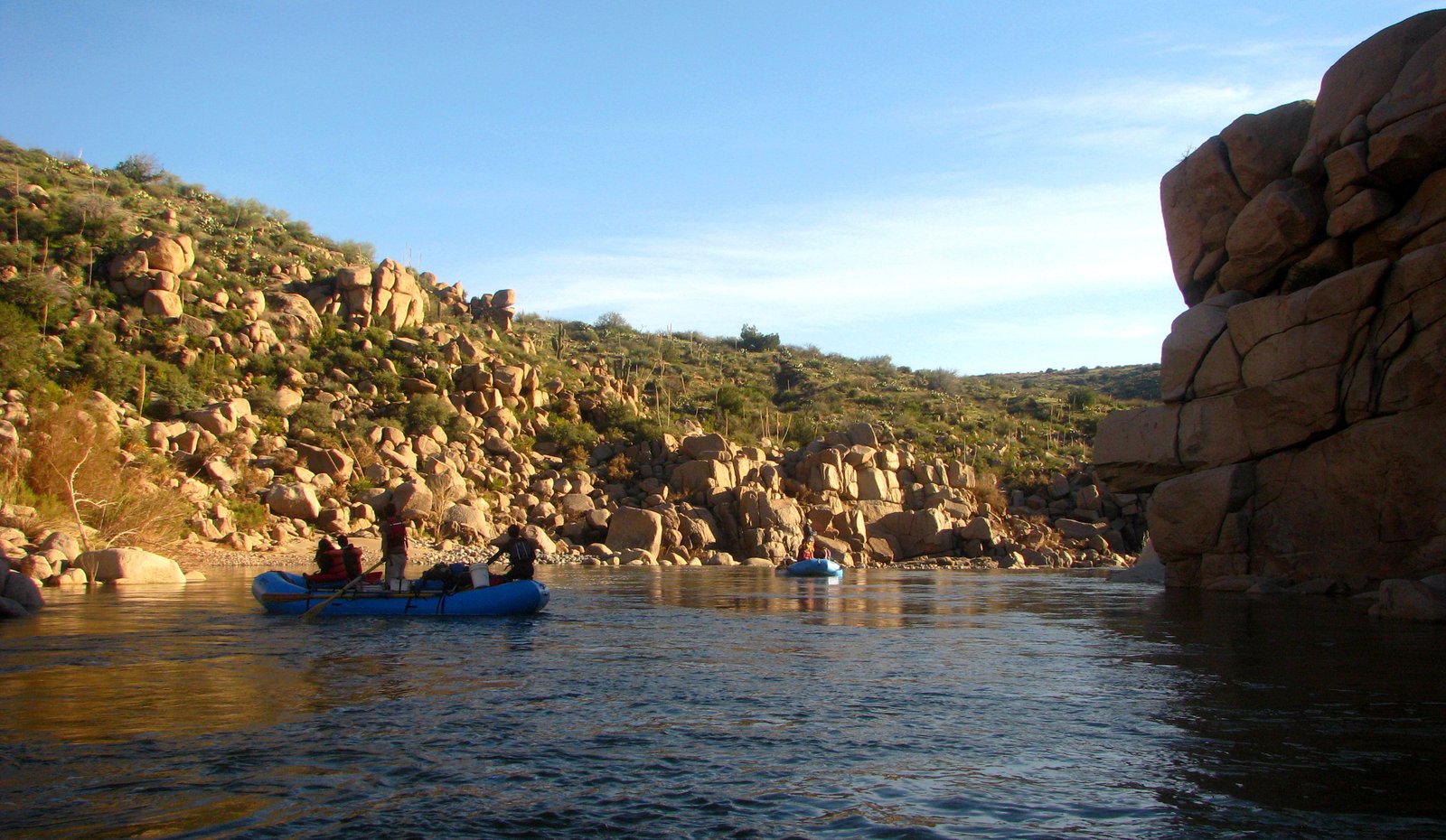
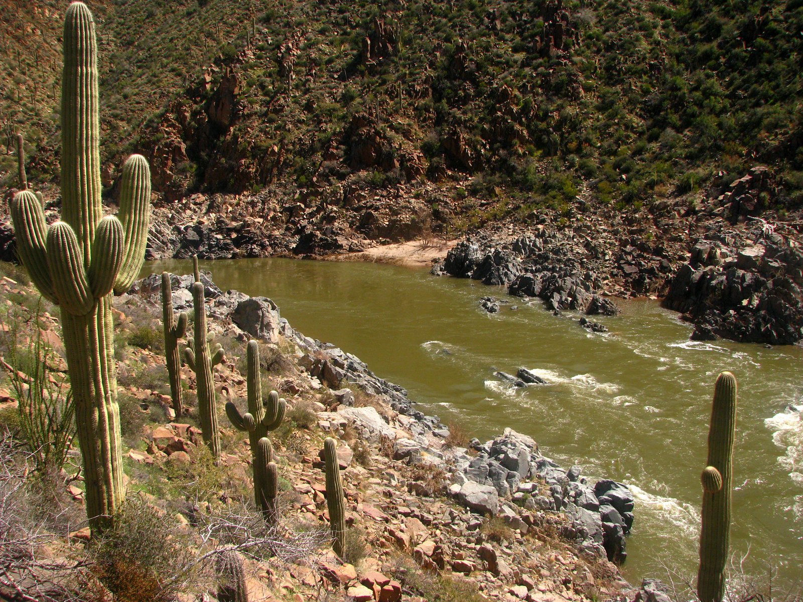
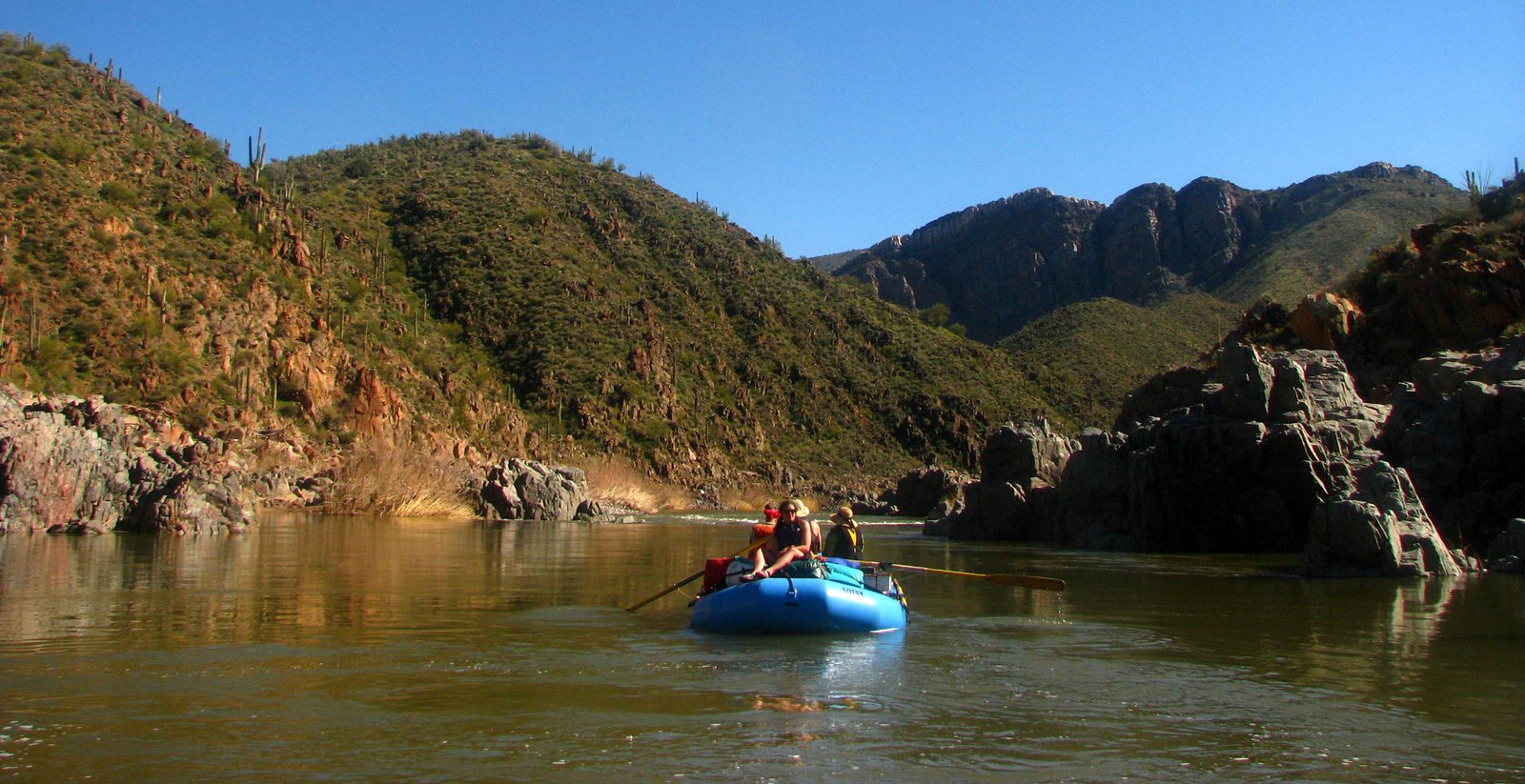
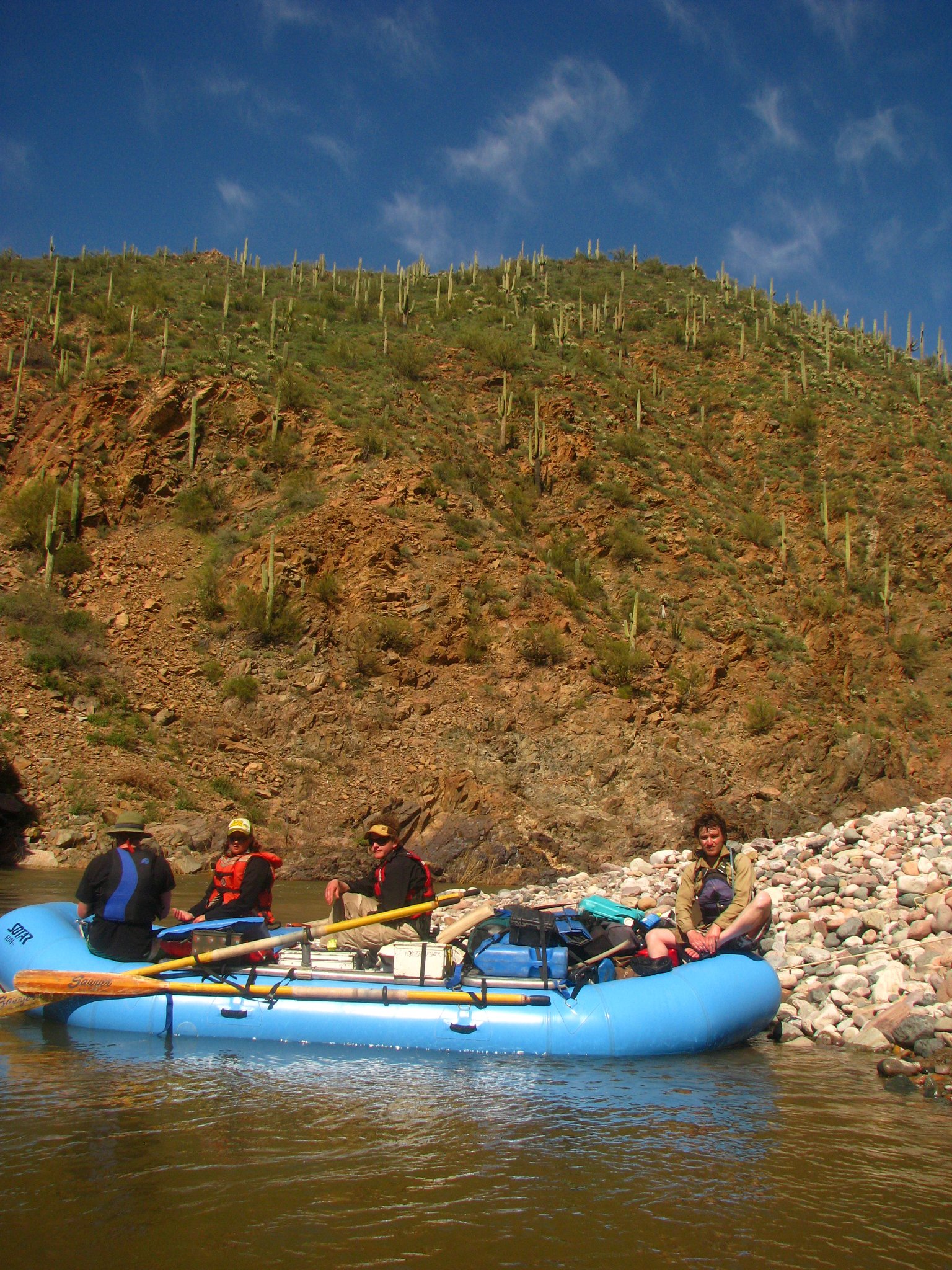
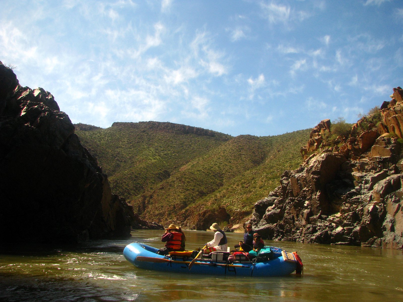
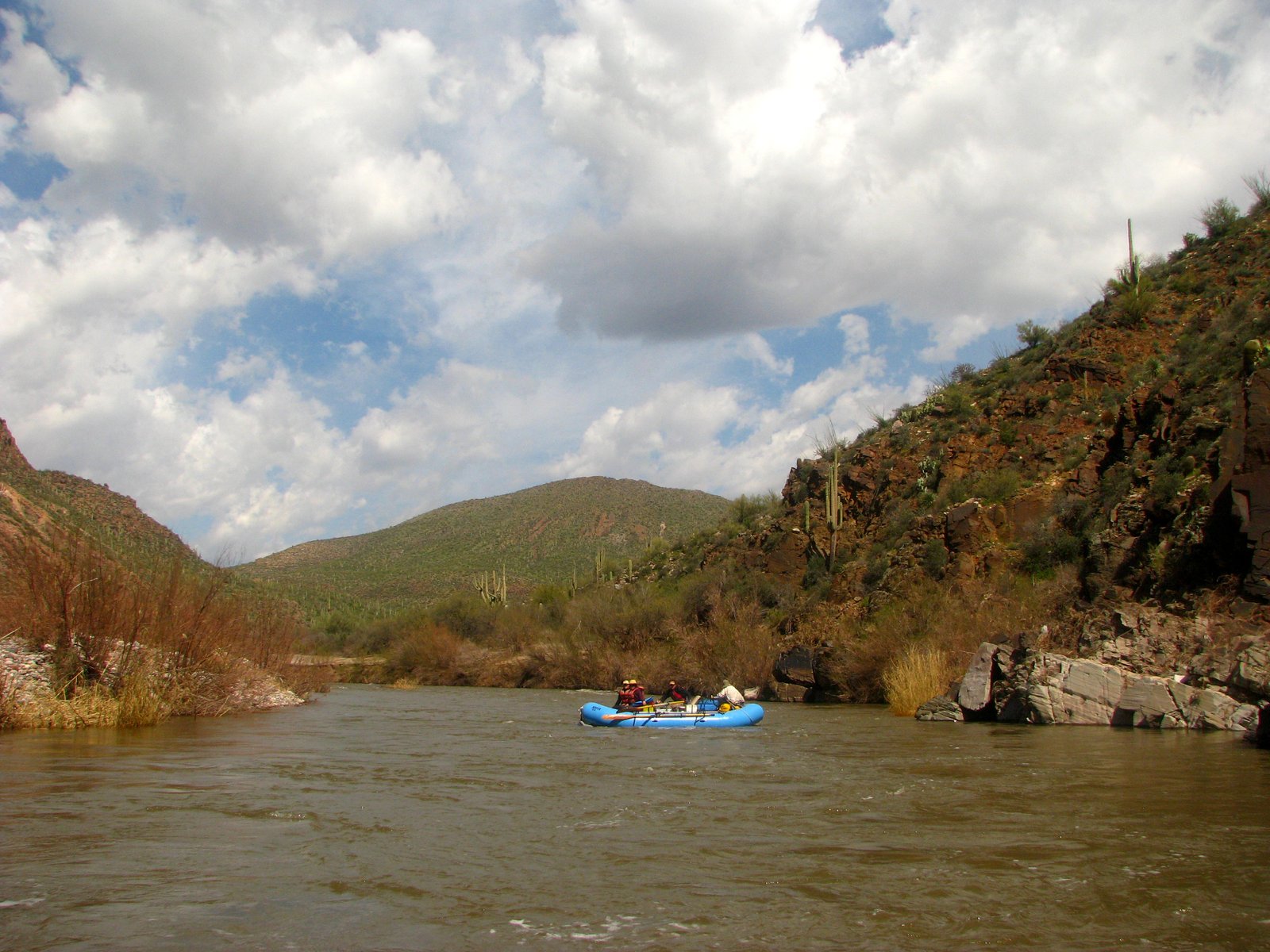
The Salt cuts through the idea that a desert ought to be dry. Saguaros crowd the slopes, the canyon walls tip and fold, and a blue raft looks very small against all that stone.
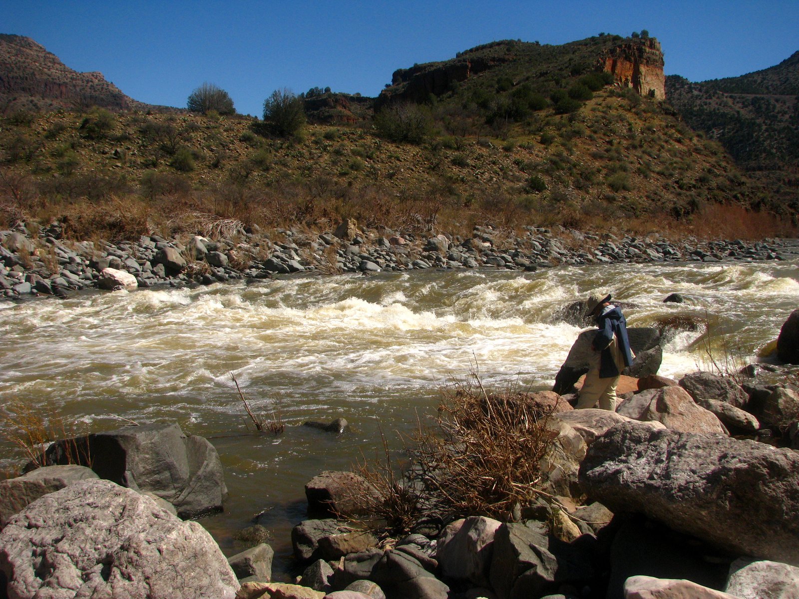
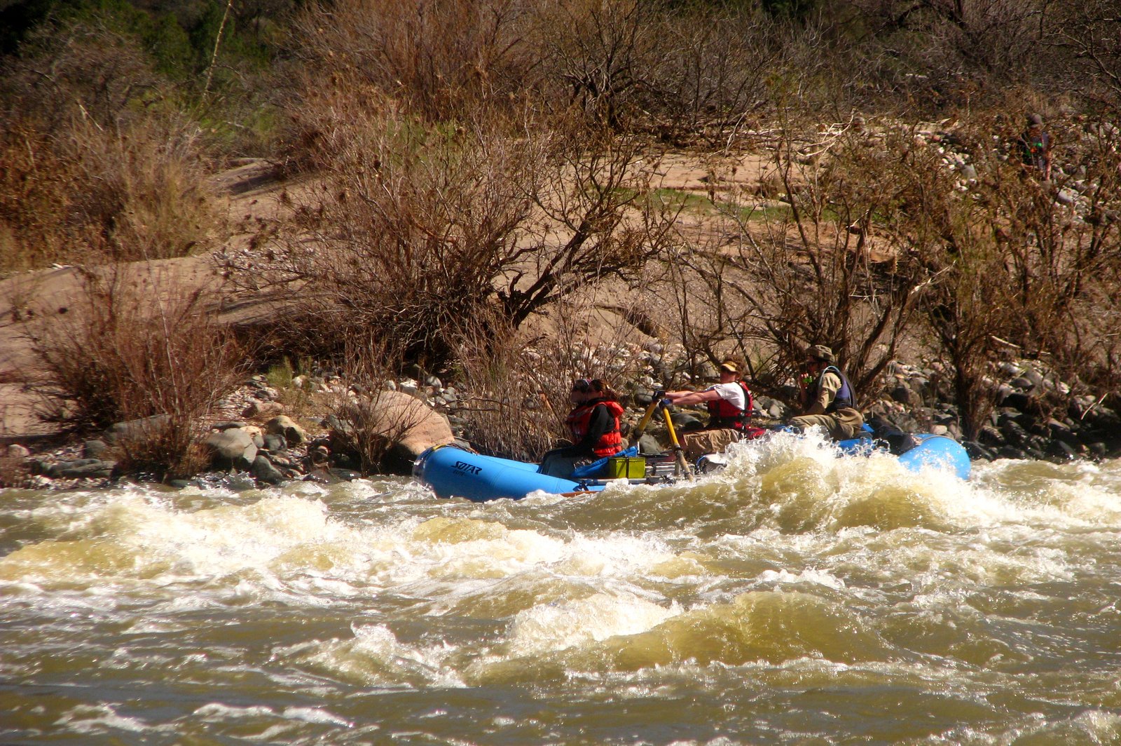
Below the highway, the road climbs away and the river takes over. There is whitewater to pay attention to, quiet water between the rapids, and the uncommon luxury of having nowhere to be until the next bend.
Overview
- Type
- Wilderness whitewater
- Length
- 52.3 river miles
- Difficulty
- Class III–IV · flow dependent
- Season
- Spring runoff
- Access
- Permits & conditions ↗
The Upper Salt runs from First Campground below U.S. 60 to the take-out just downstream of the U.S. 288 bridge. The full corridor passes from road-accessible upper reaches into remote canyon country, with cactus-covered slopes, rocky rapids, and long bends of open water.
Reference corridor: First Campground to U.S. 288. Trip archive: March 15–20, 2010.
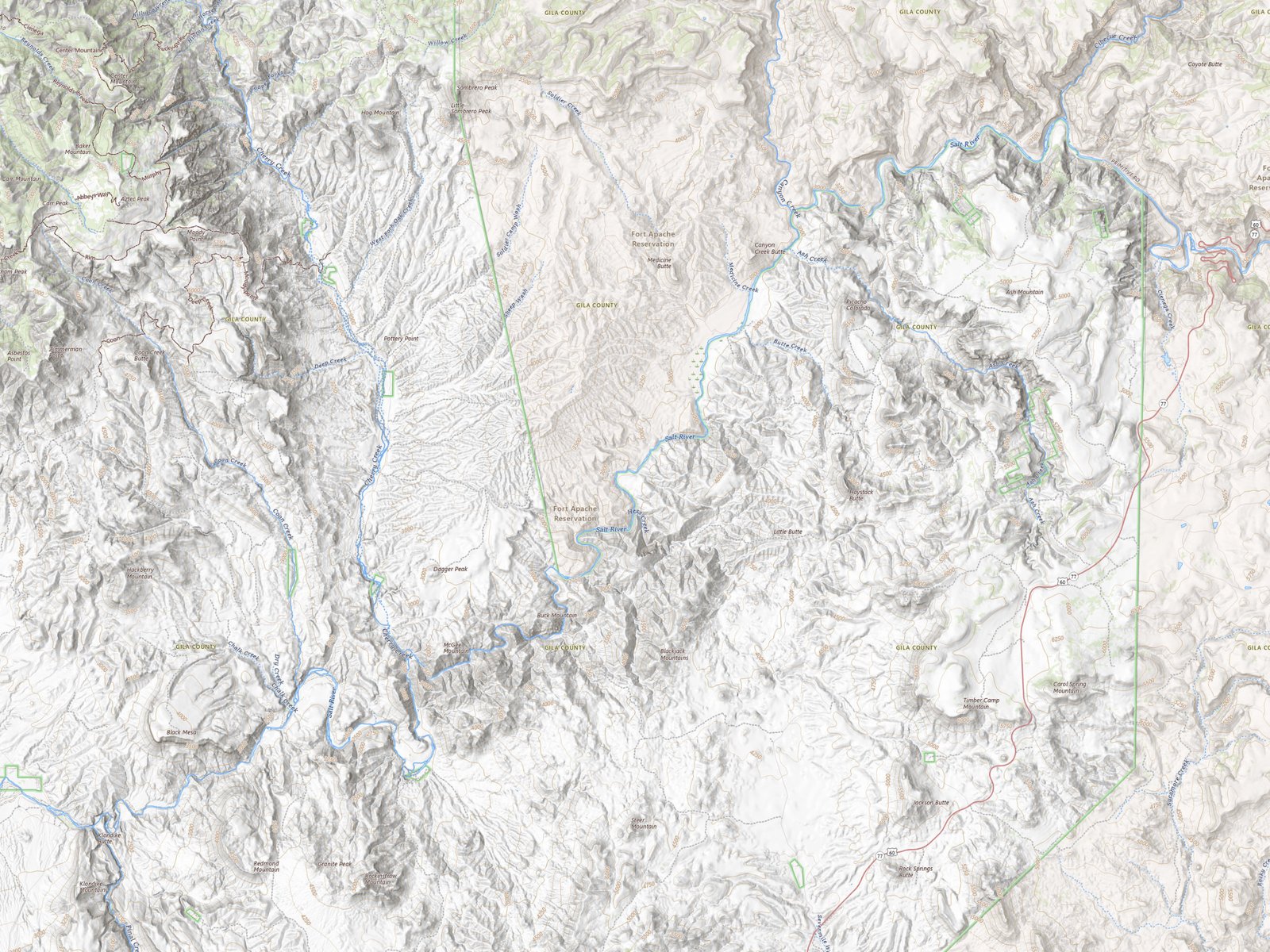
Route & map
- Upper Salt River
- Access points
First Campground to U.S. 288 · approximate river positions.
Basemaps: USGS / Esri. River centerline: OpenStreetMap contributors. Reference points: Forest Service river atlas. This is an orientation map; scout rapids in the field.
Geology
The canyon changes character as the river crosses different rocks. Near U.S. 60, cliffs expose the ancient Apache Group, including pale Dripping Springs Quartzite and darker diabase intrusions. Farther downstream, folded and tilted formations give the walls their sharp angles and changing colors.
Geologic references: Arizona Geological Survey, The wild Salt River and Tilted rocks of Salt River Canyon.
Hazards
The Upper Salt requires experienced whitewater boaters. Rapid difficulty changes with flow: low water can make passages more technical, while storms can raise the river quickly. Cold water, rocky drops, and long remote reaches make preparation and scouting essential.
Federal wilderness permits and White Mountain Apache tribal permits are separate requirements. Check current permit, access, and river information before planning a trip. Map markers do not locate current hazards or running lines.
Photo albums
1 trip 57 photographs
Select a visit to open its photographs.