Escalante
River
Highway 12 to Coyote Gulch · Utah
37.7758° N · 111.4186° W Highway 12 bridge · approximate
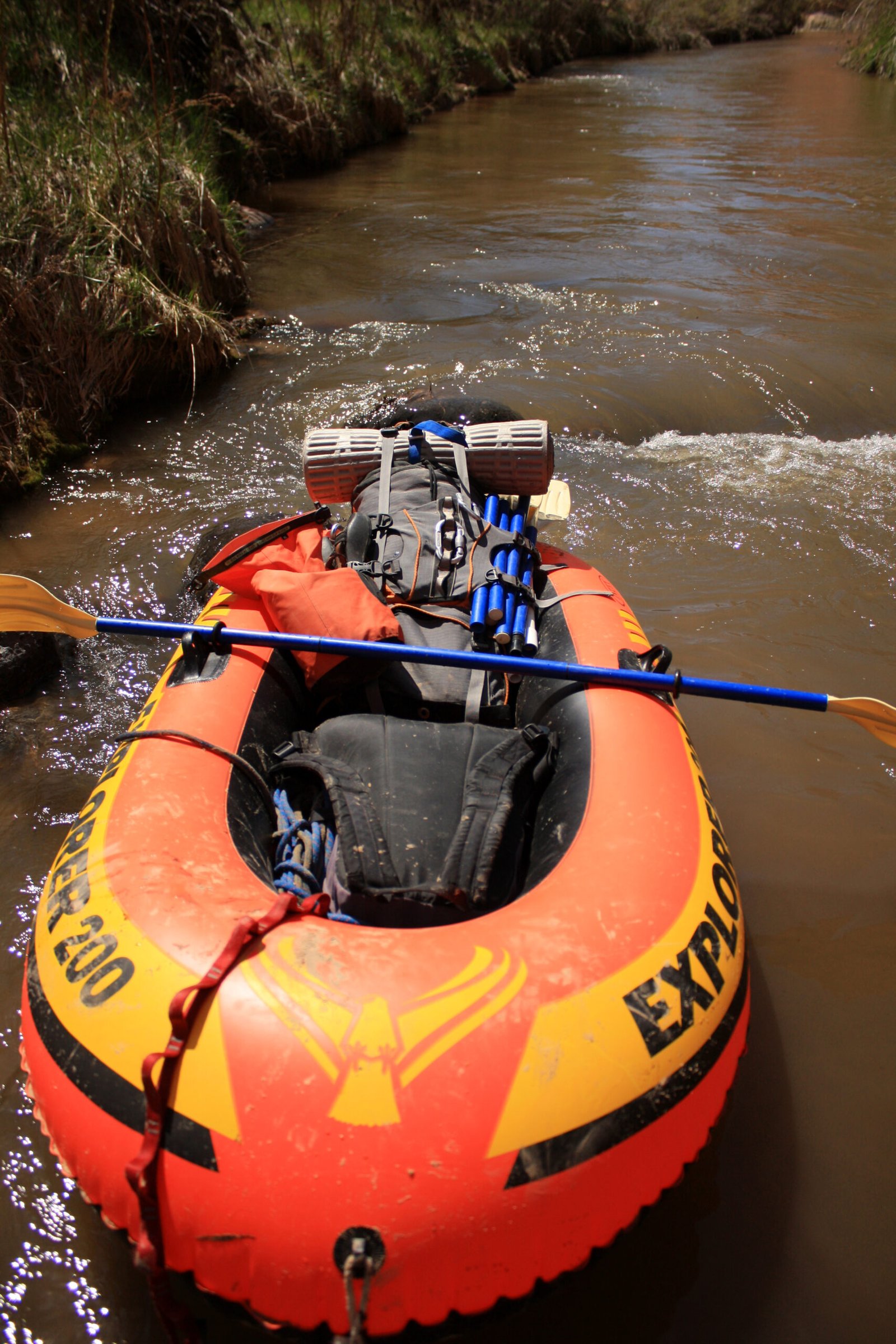
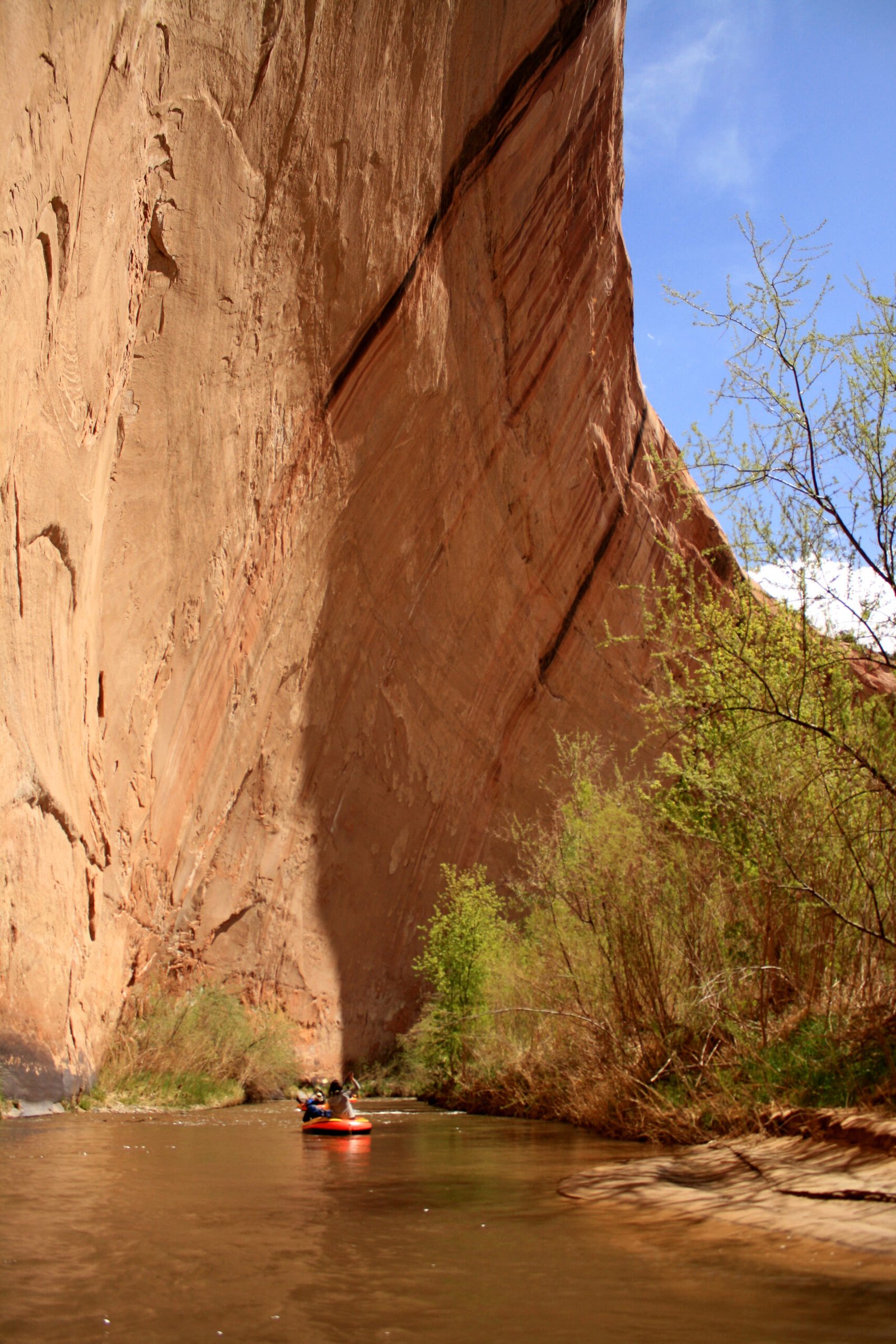
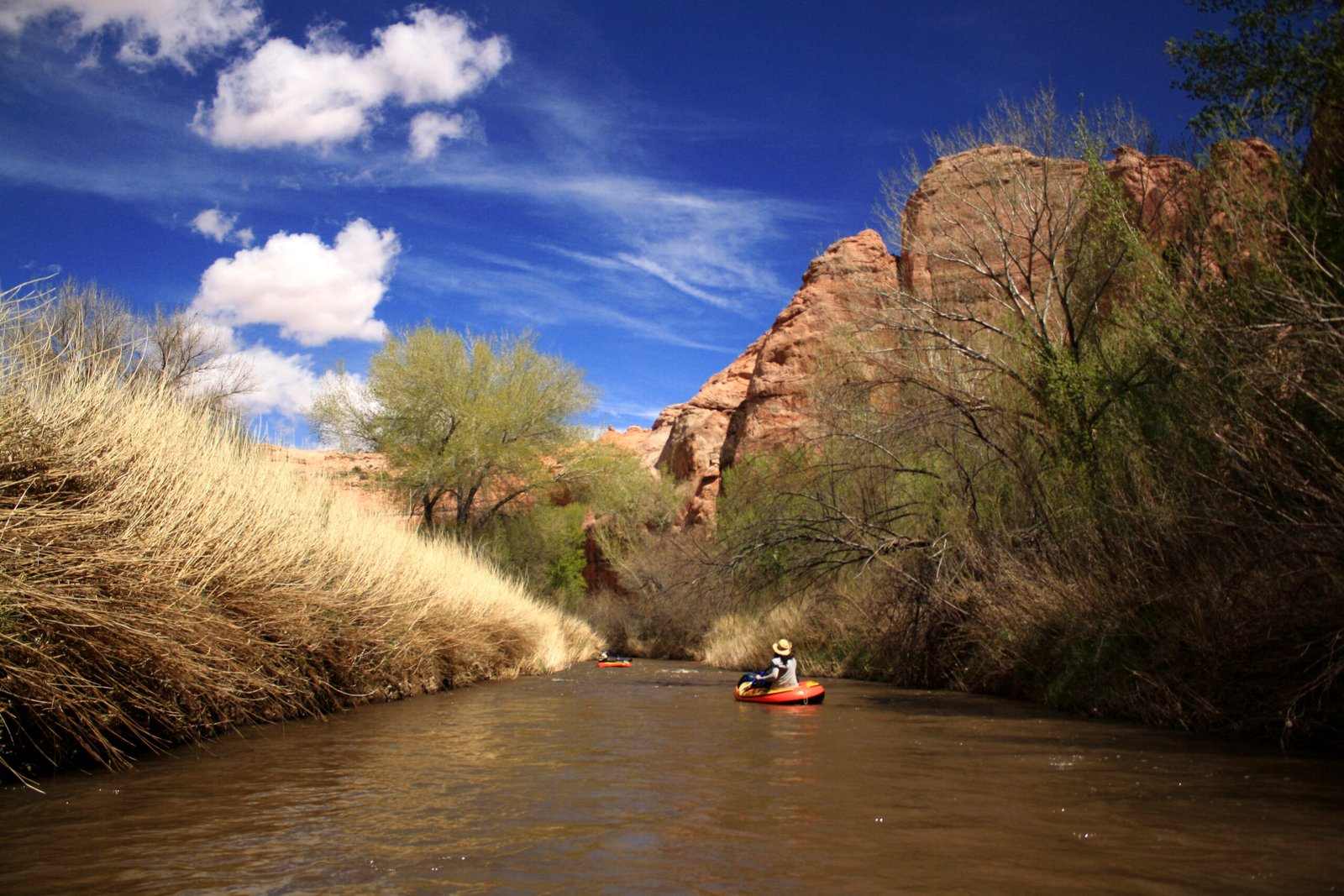
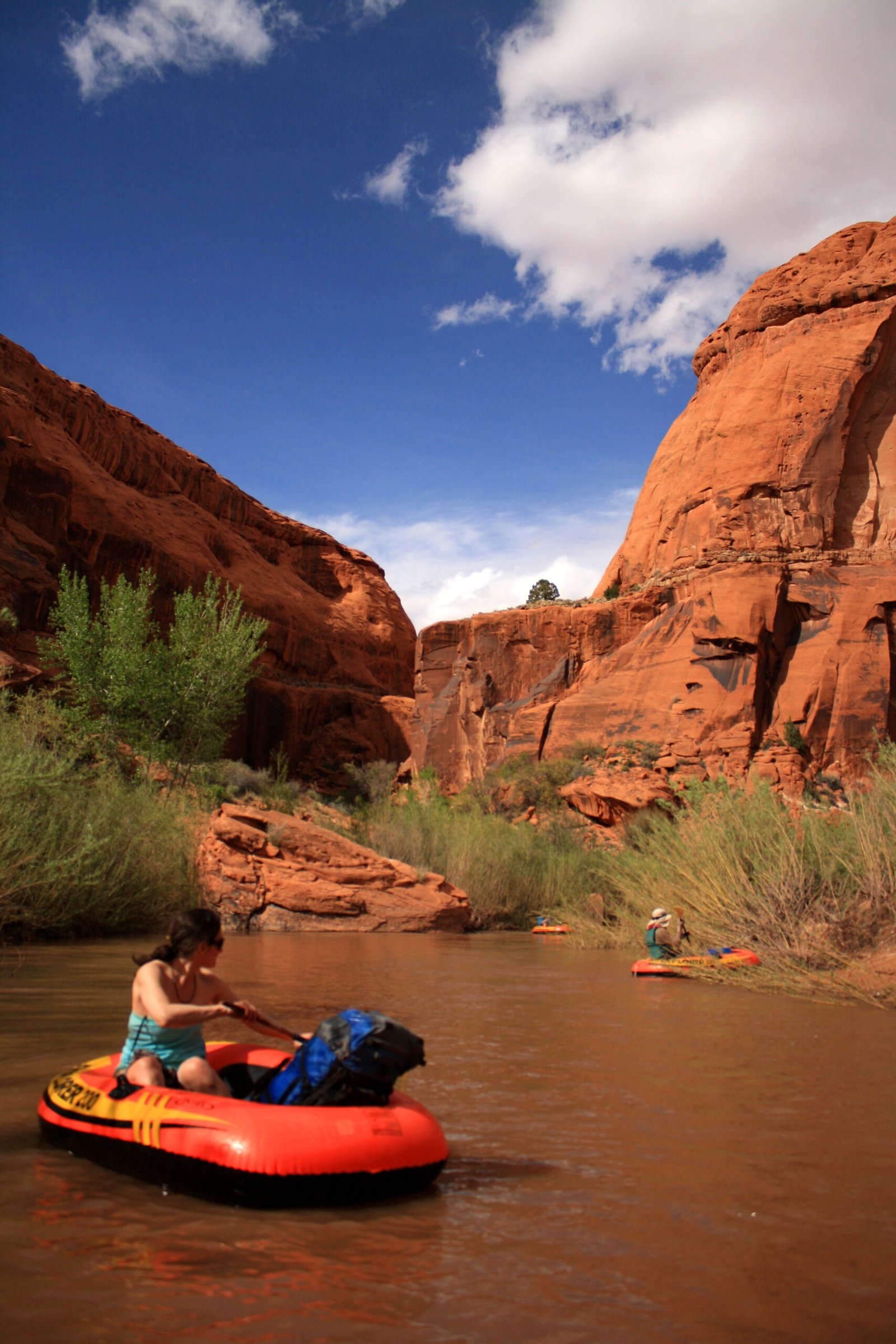
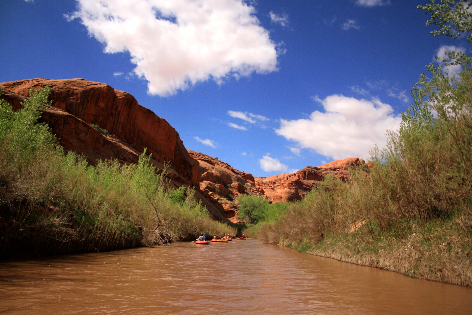
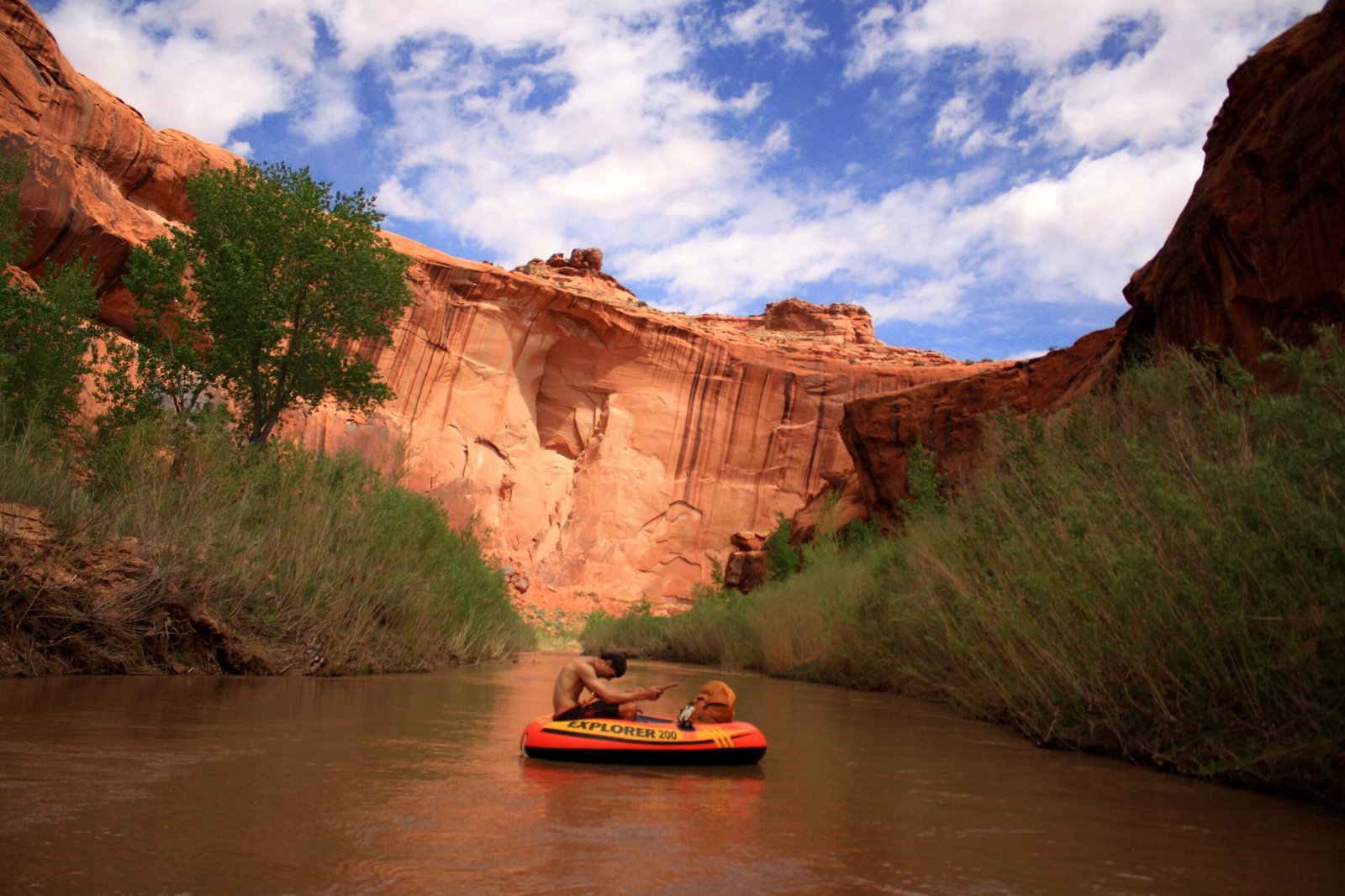
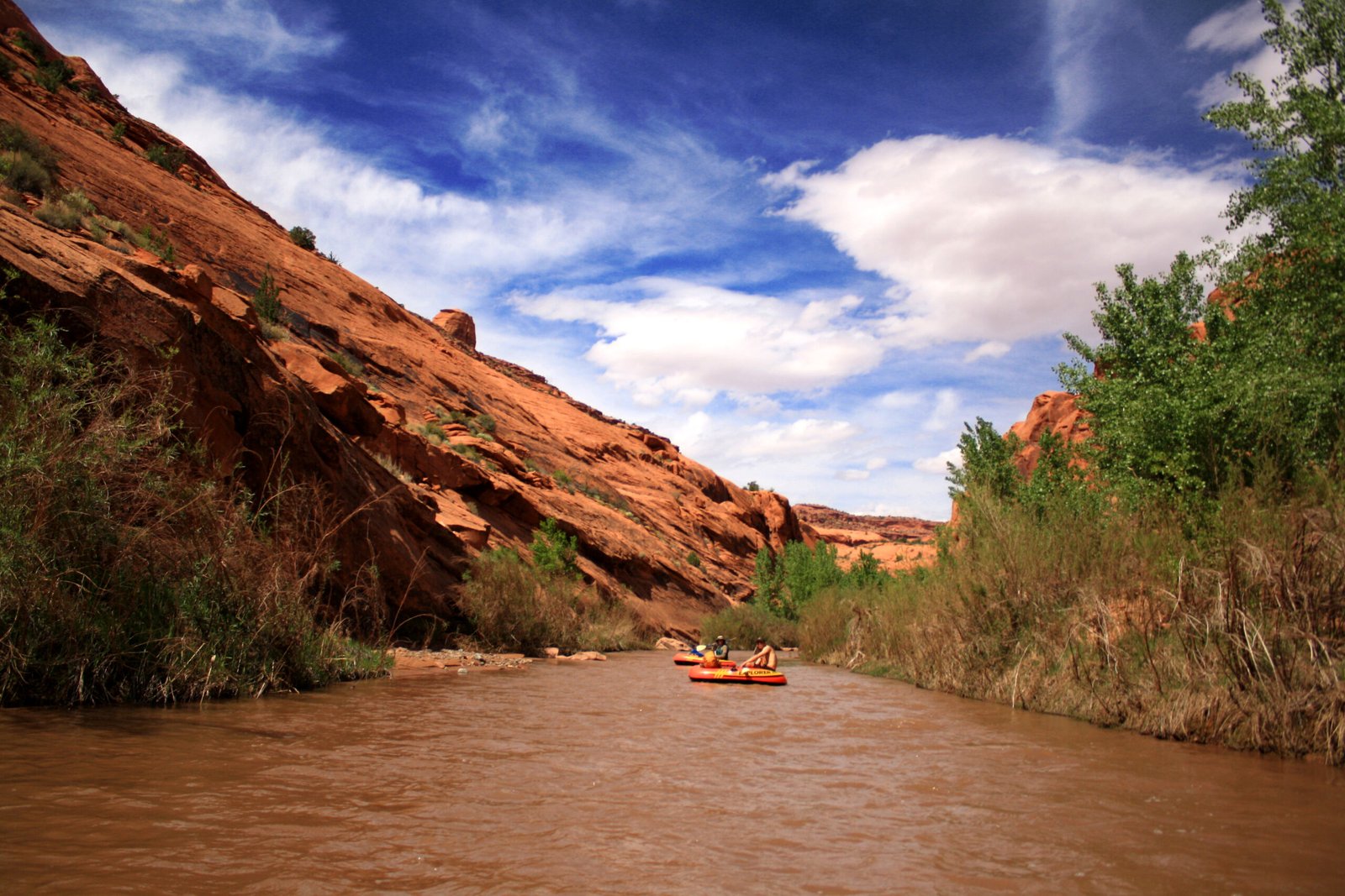
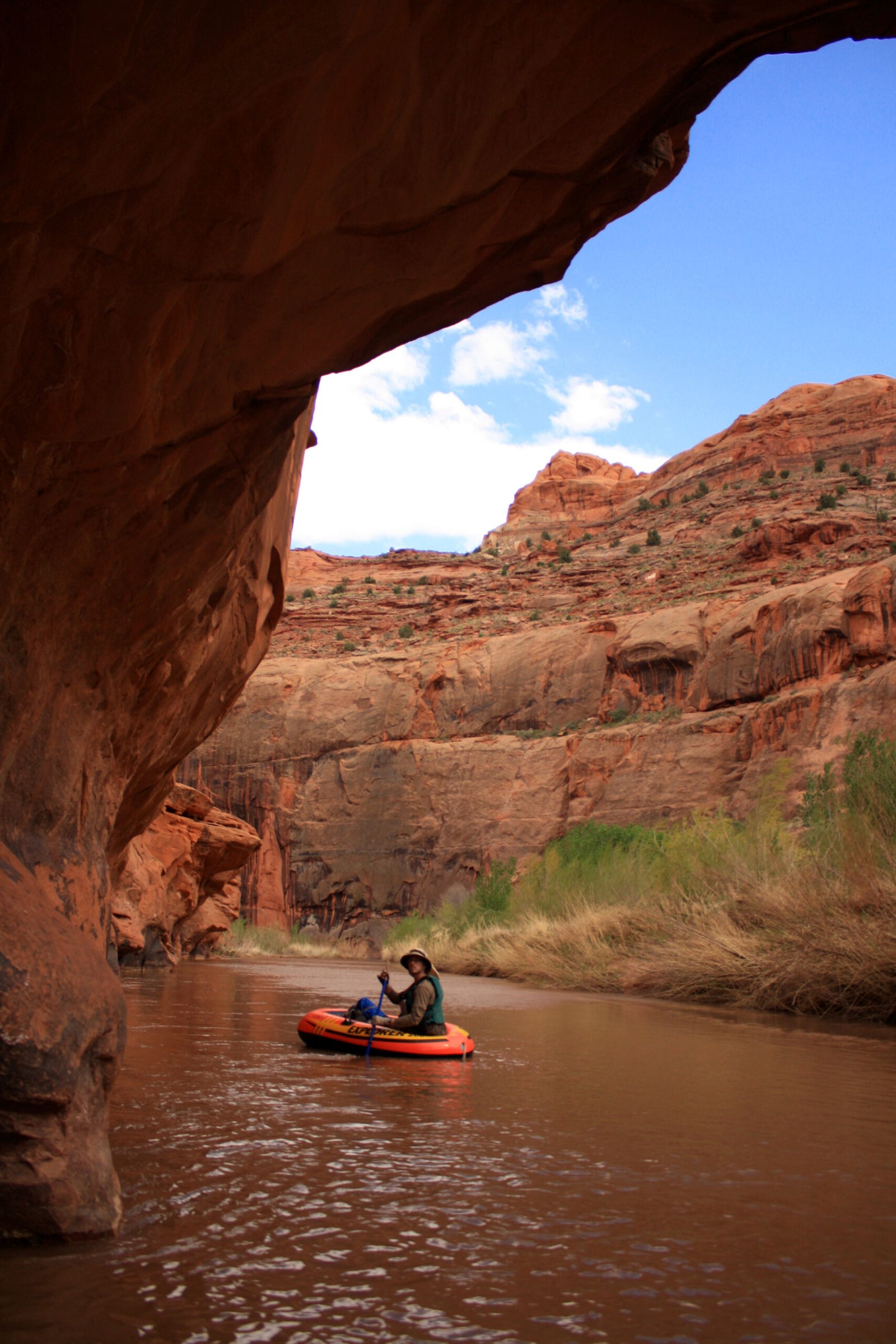
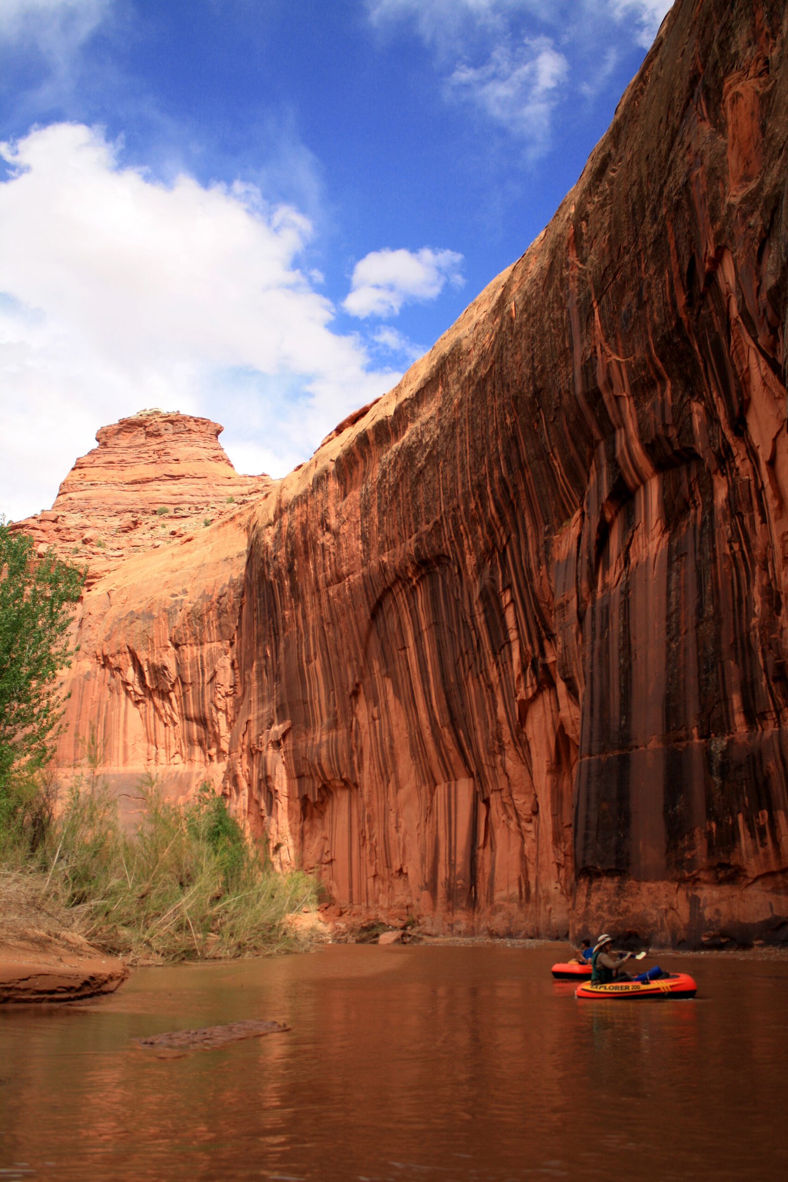
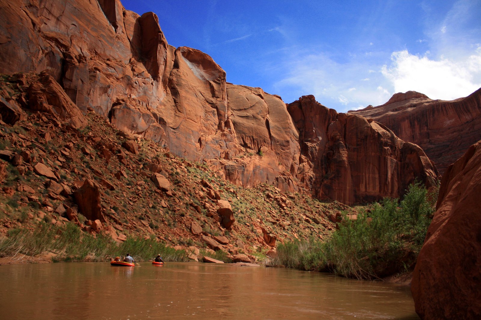
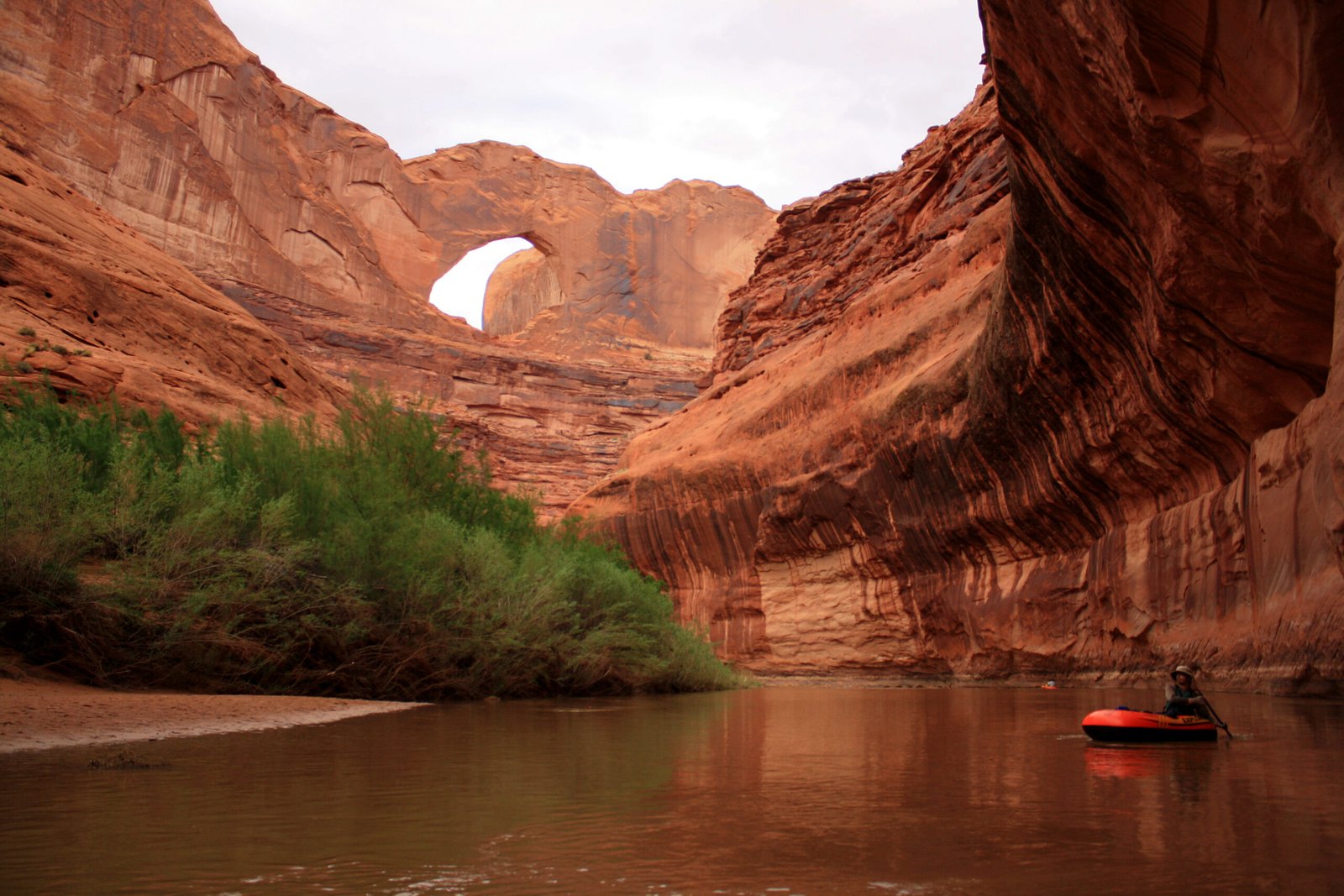
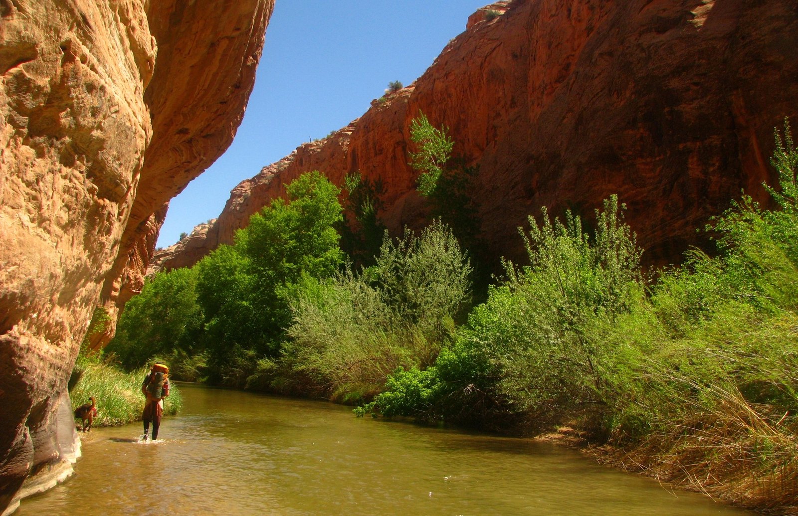
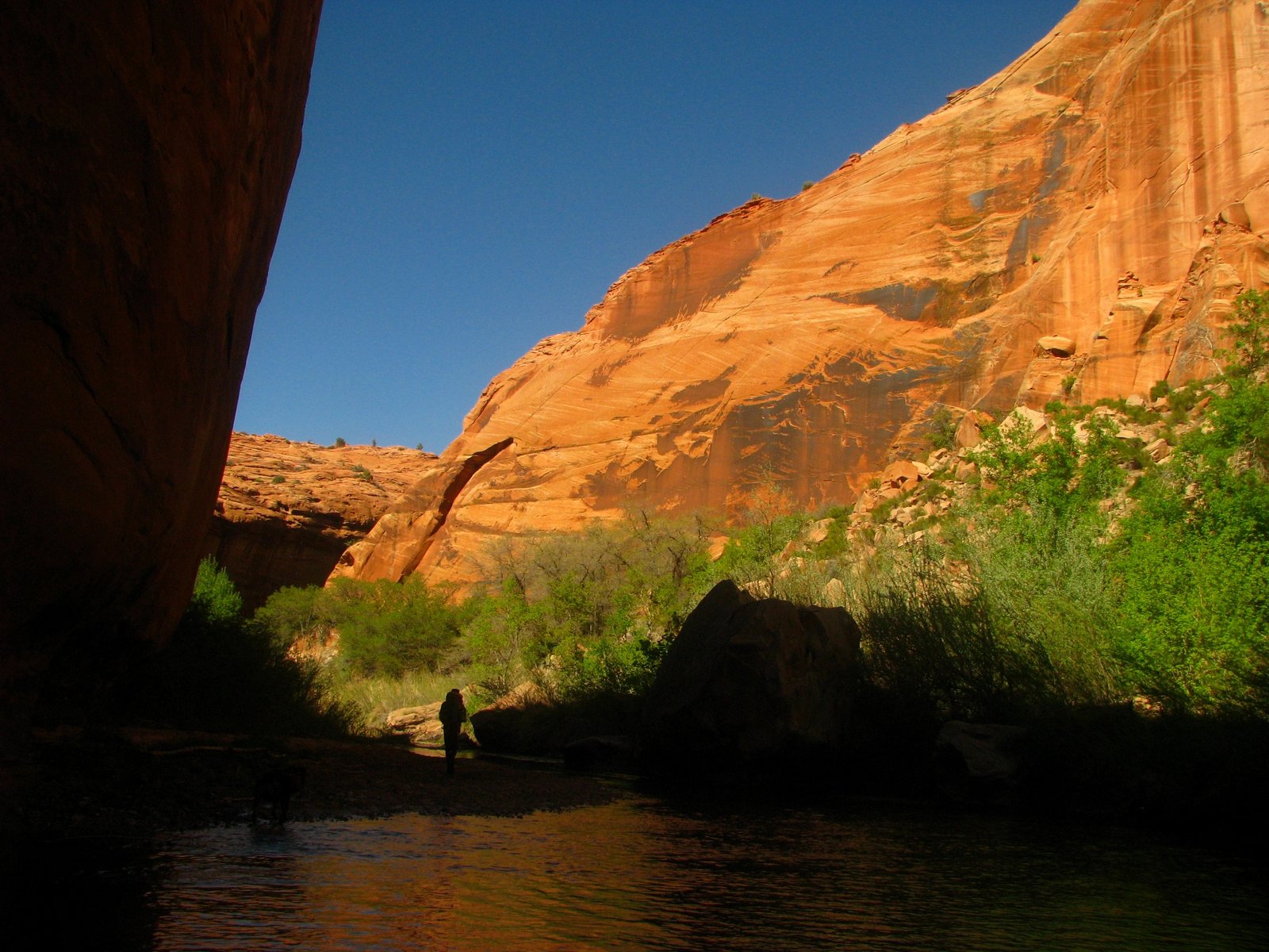
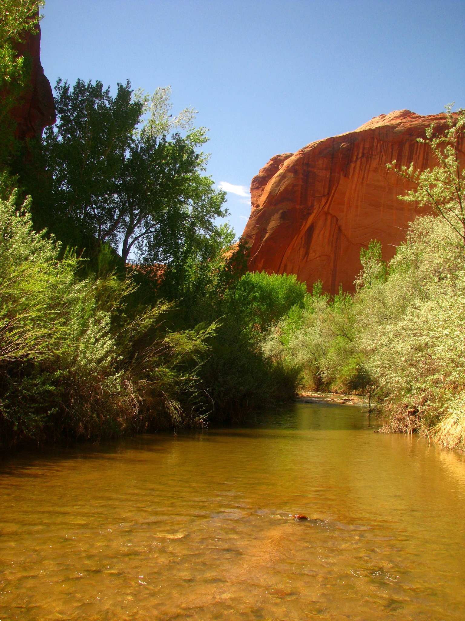
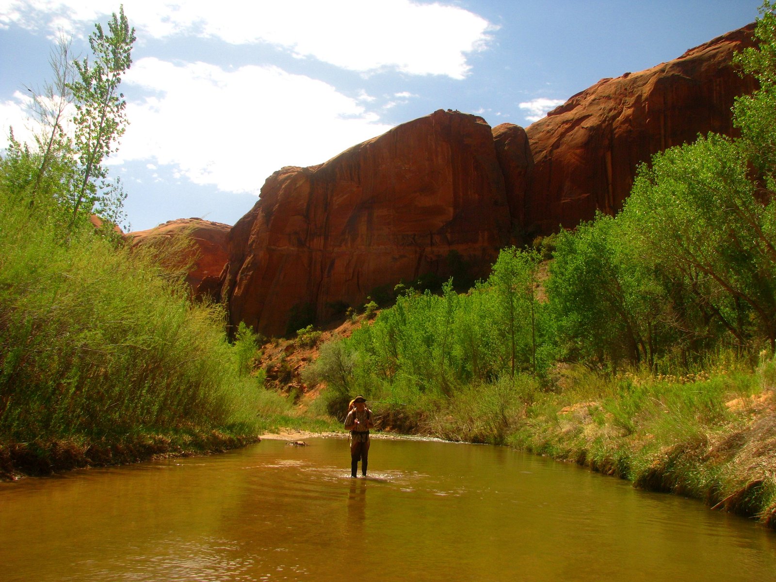
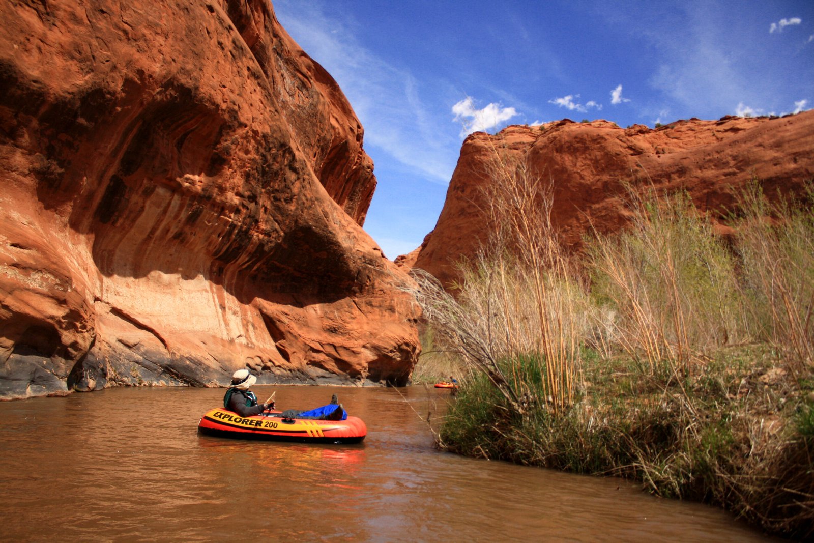
Below Highway 12, a small brown river leads into an unreasonable amount of country. The Escalante bends beneath varnished walls, past willow banks and the mouths of canyons that could swallow an afternoon. A packraft is a good way to disappear into it.
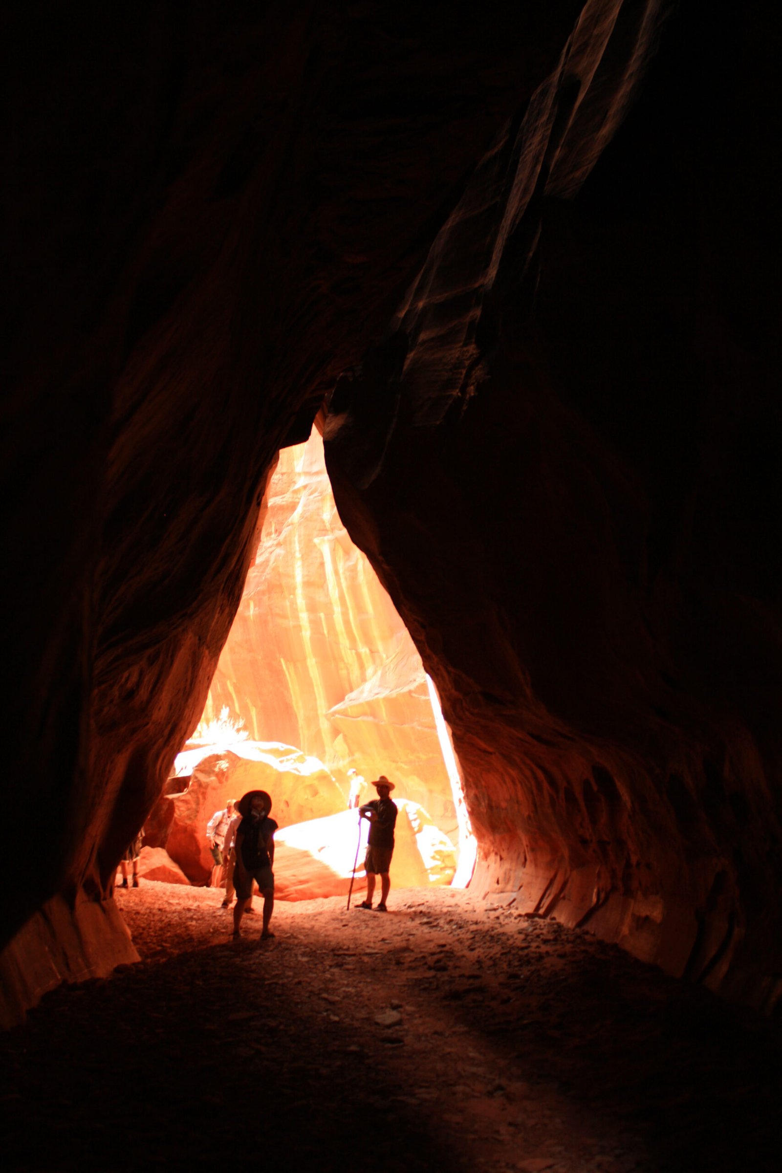
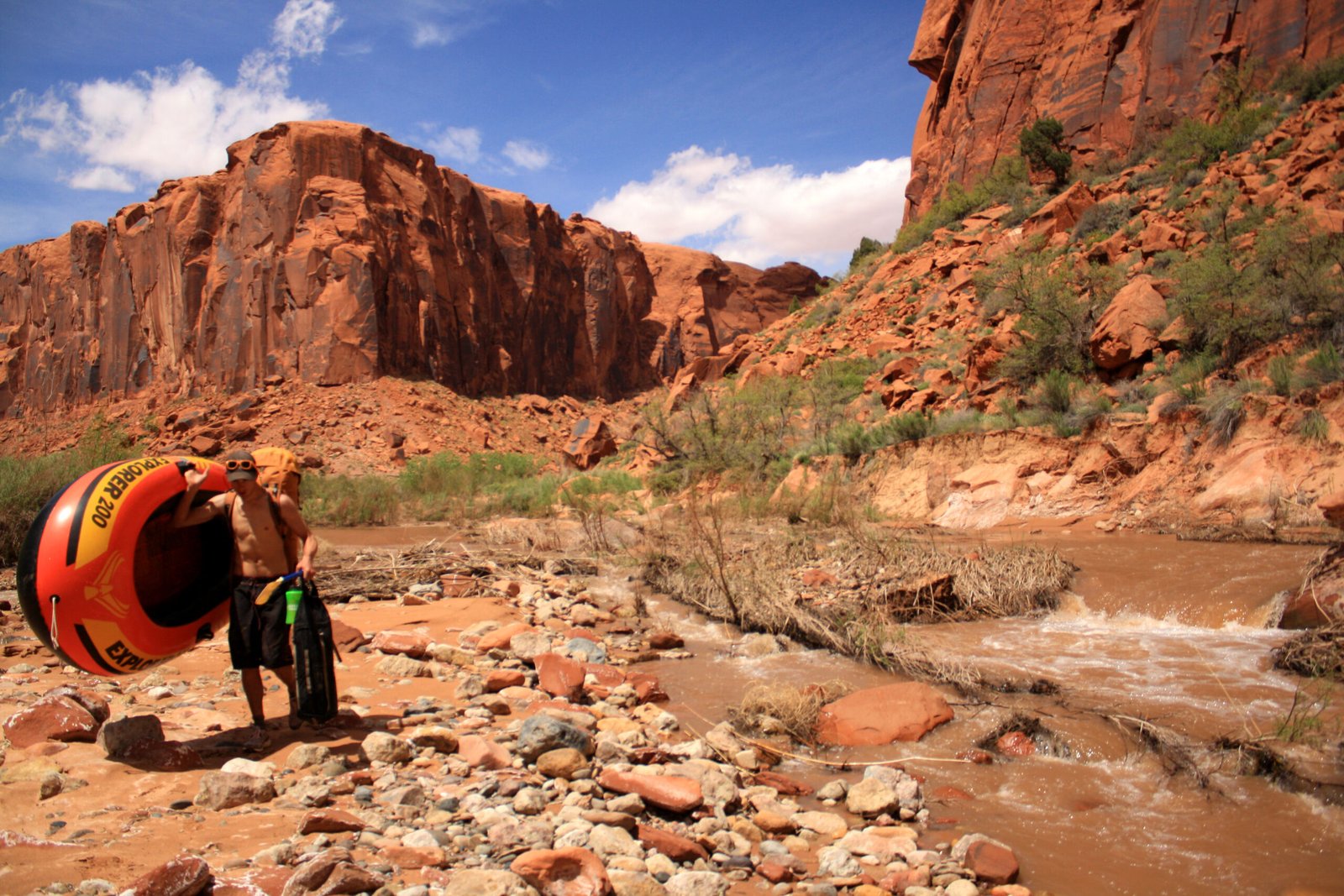
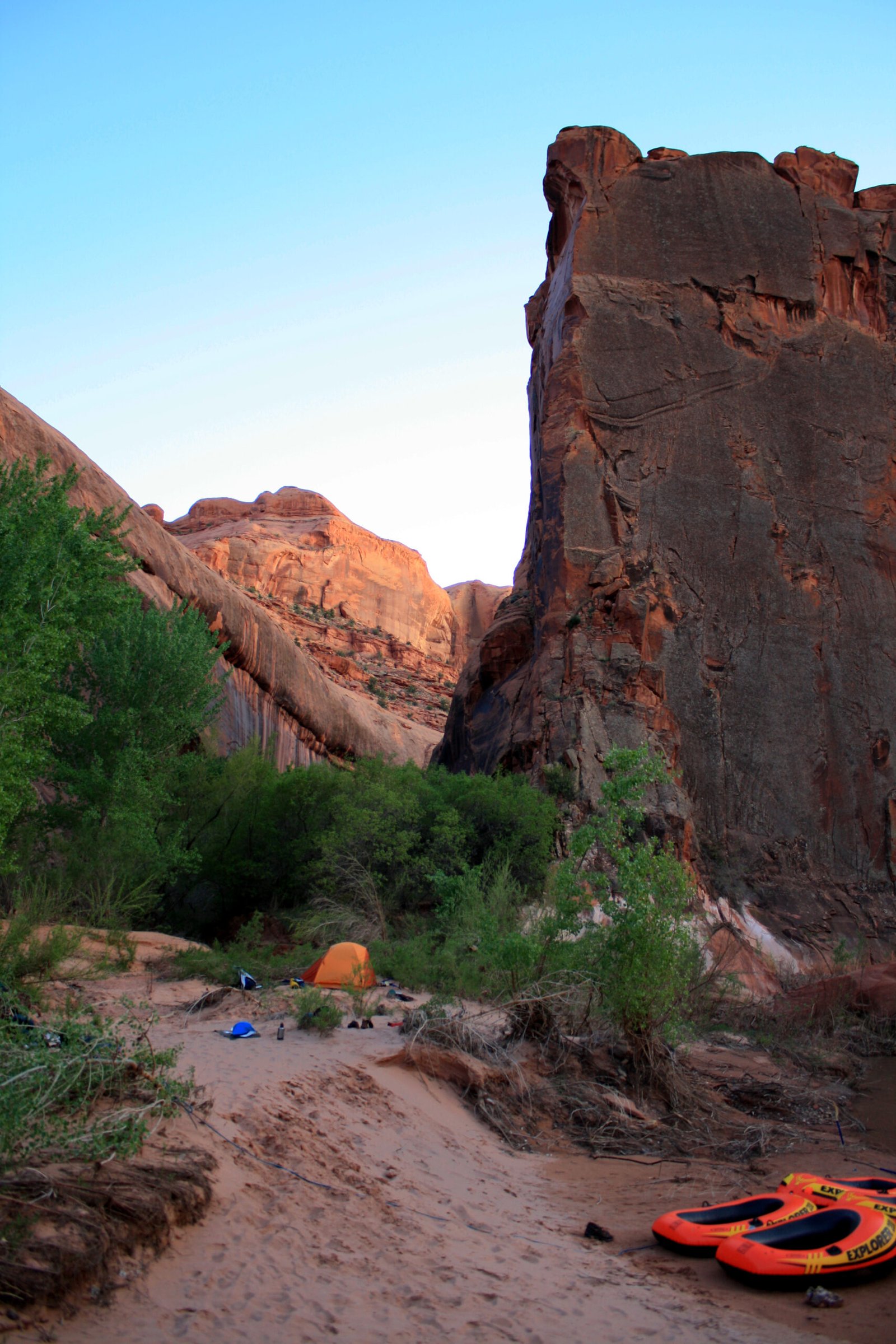
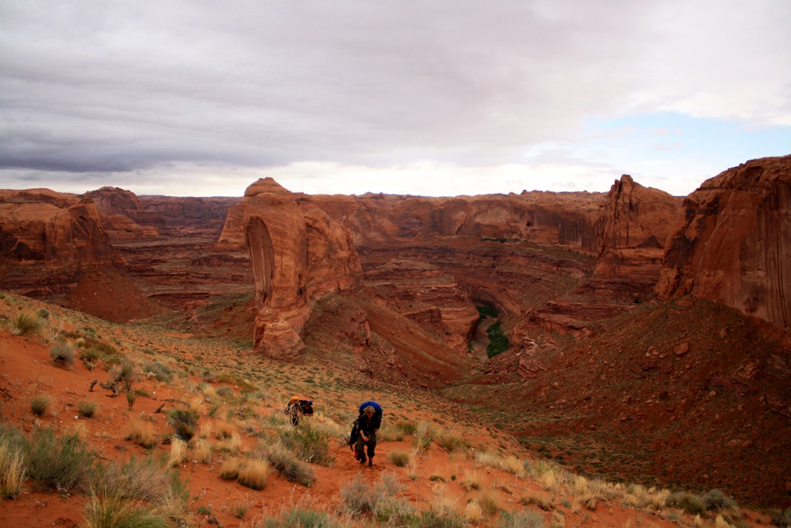
Farther down, fallen sandstone blocks crowd the channel and the canyon closes in. The route follows the river to Coyote Gulch, where the boats are packed away and the journey continues on foot. The last part of a river trip is carried on your back.
Overview
- Type
- Packraft & hike out
- Length
- ≈75 river miles
- Difficulty
- Class II · remote
- Season
- Spring runoff
- Access
- River information ↗
The packraft route begins at the Highway 12 bridge and follows the Escalante downstream to Coyote Gulch. That confluence ends the mapped river section; the trip continues on foot through Coyote Gulch.
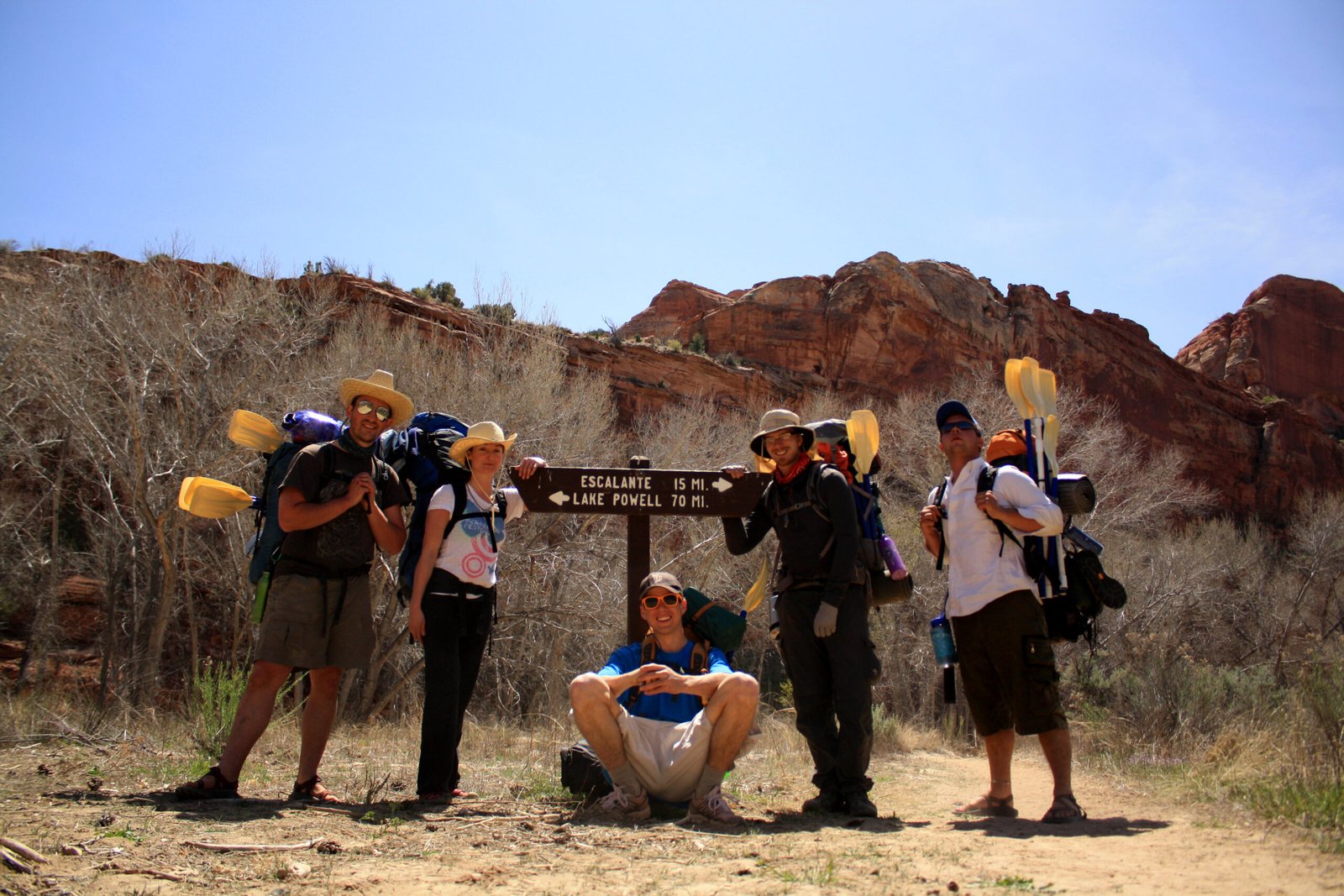
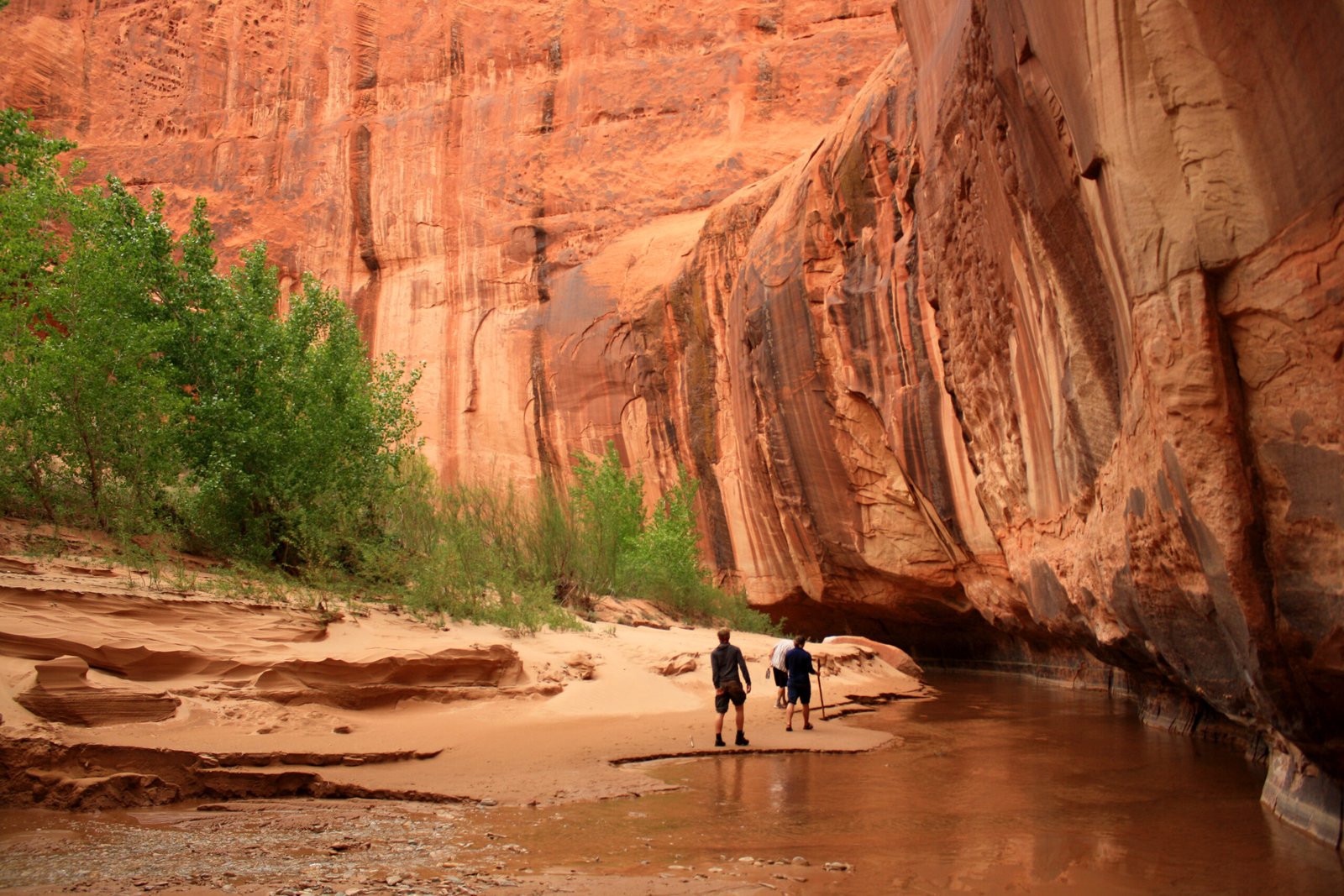
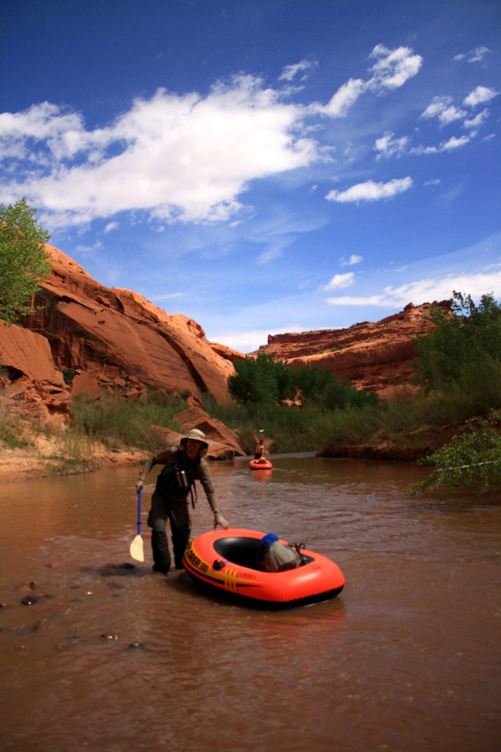
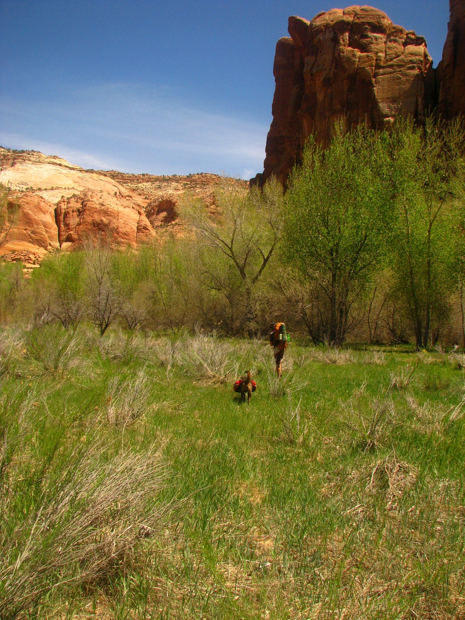
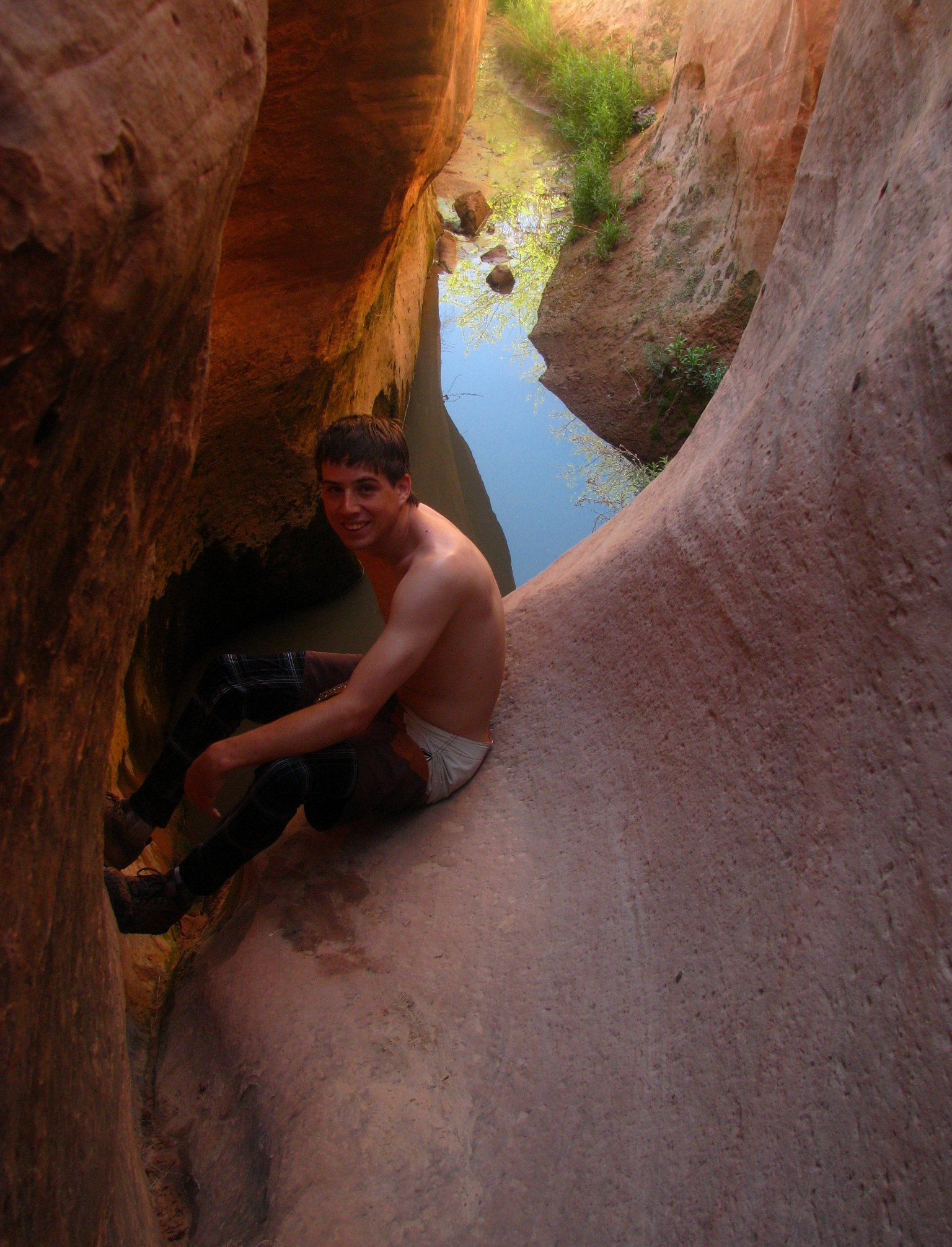
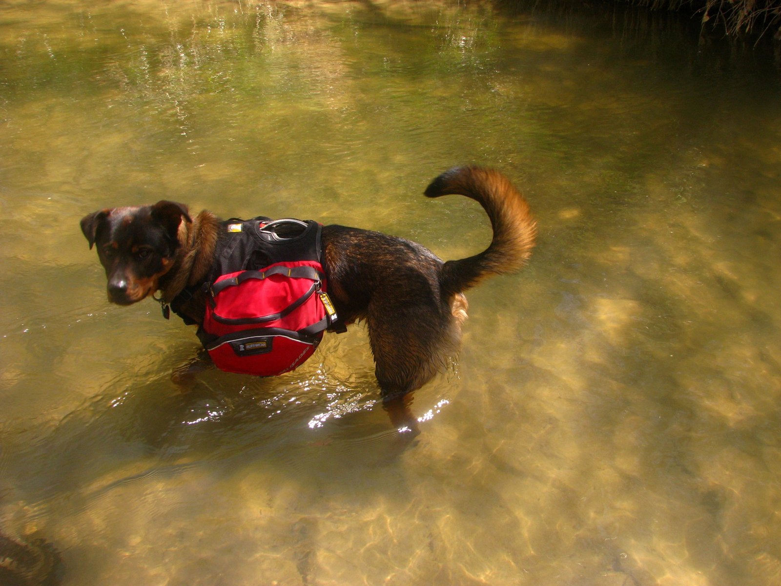
Two dated albums preserve May 1–7, 2010 and April 15–23, 2011. The earlier album includes hiking and wading; the later album includes the packraft journey.
Route & map

- Escalante River
- Access points
Highway 12 bridge to Coyote Gulch · packraft river section.
River centerline and names: USGS NHD / GNIS. Bridge: © OpenStreetMap contributors. Basemaps: USGS / Esri. Reference geography; marker positions are approximate.
Geology
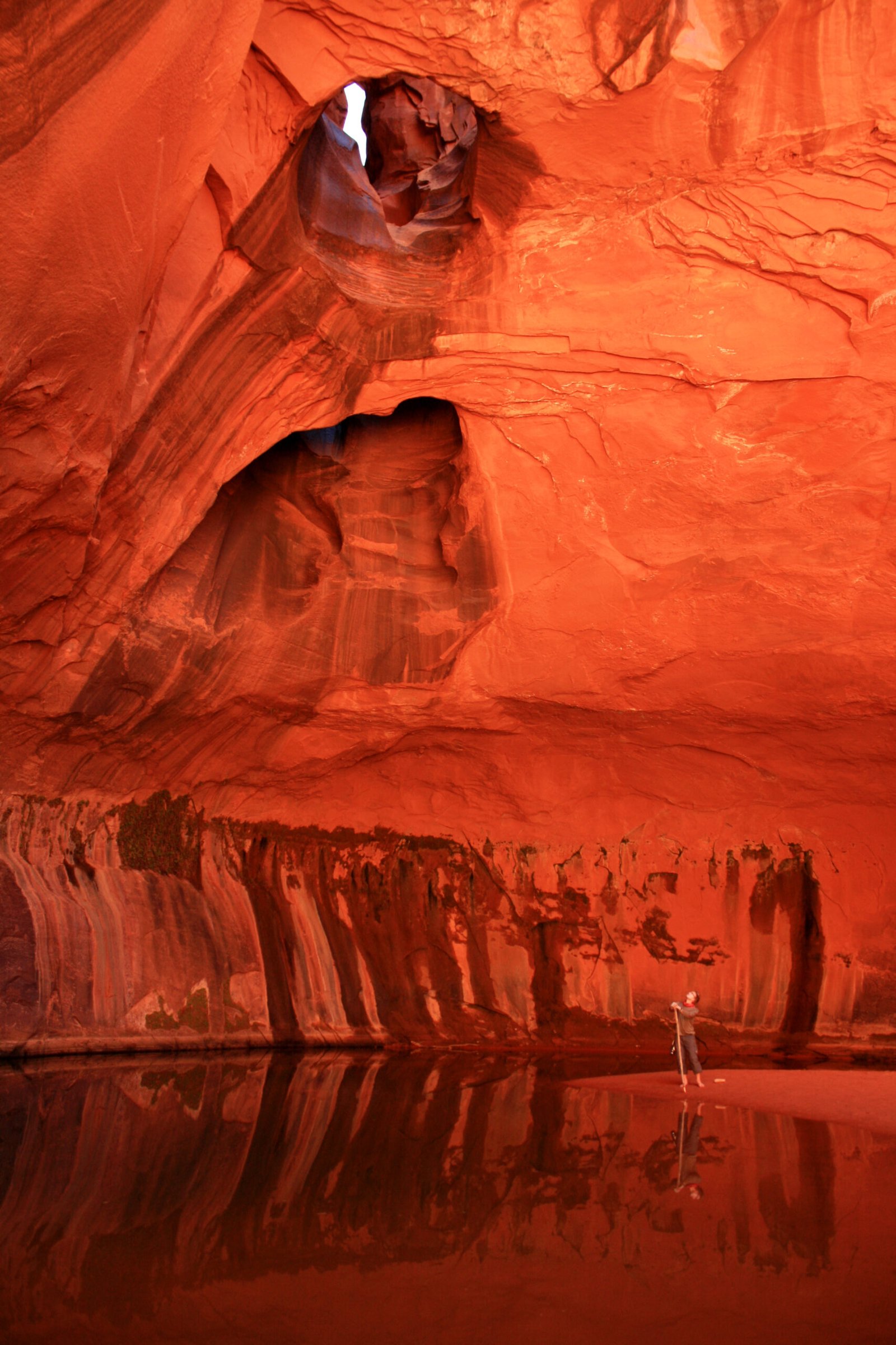
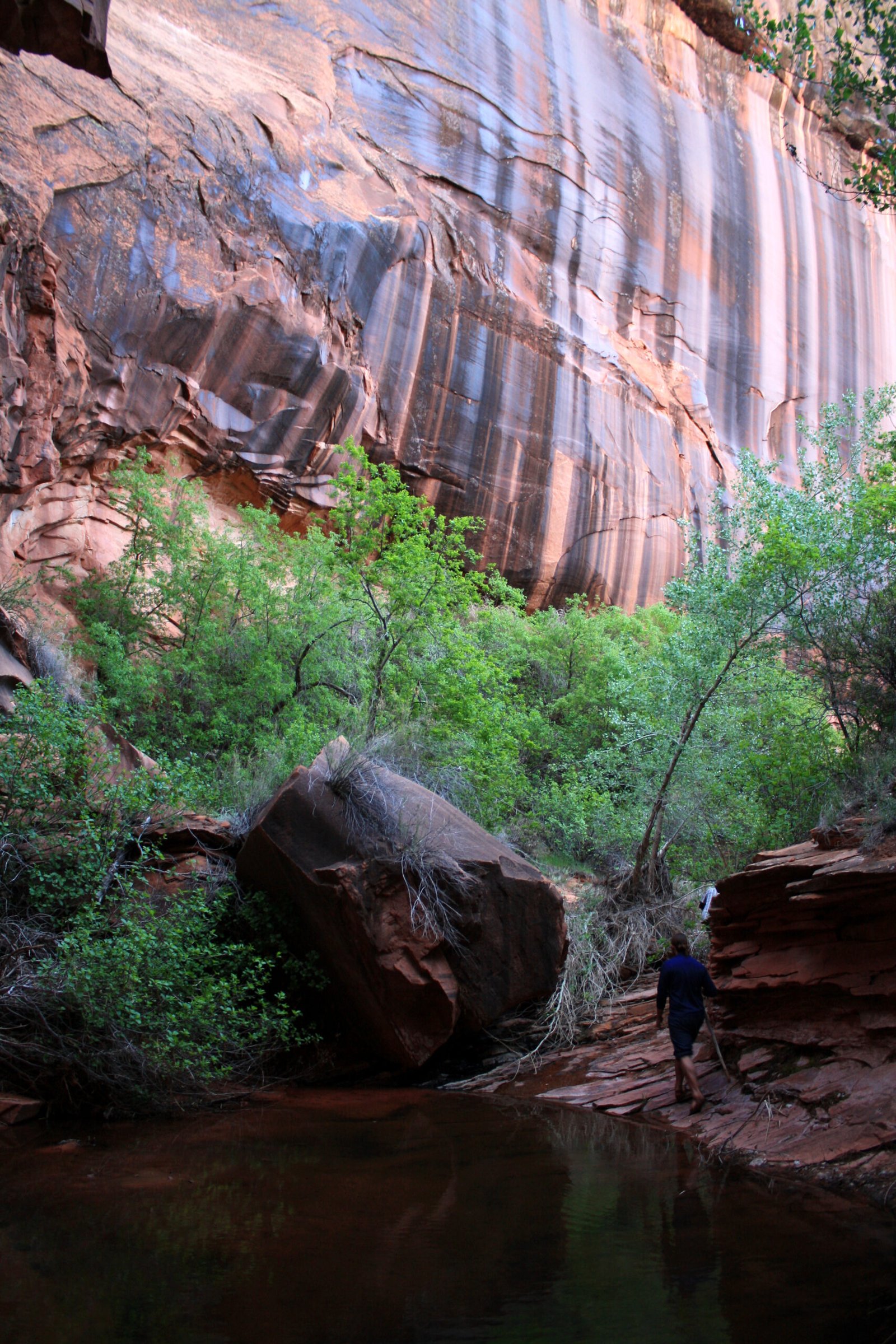
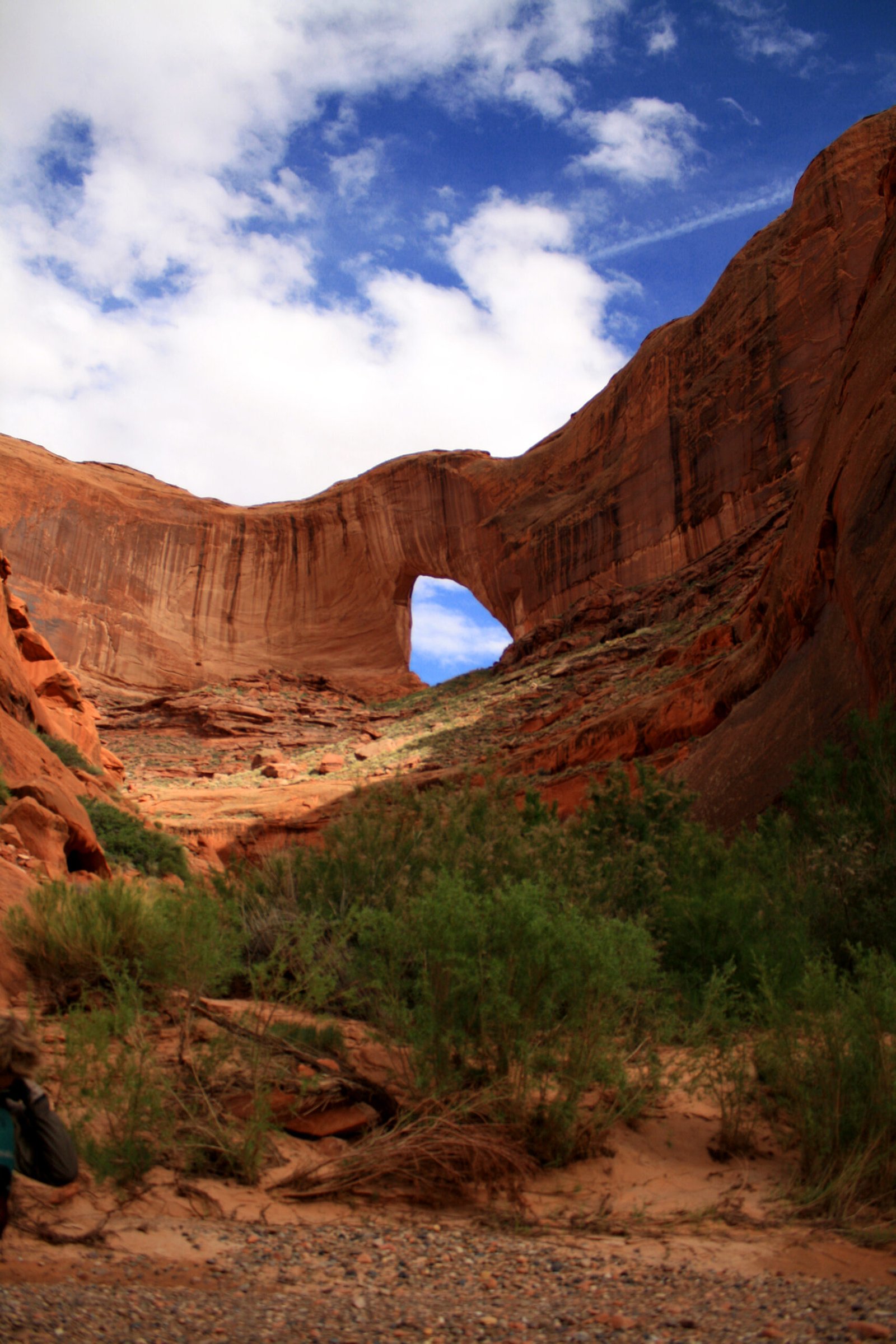
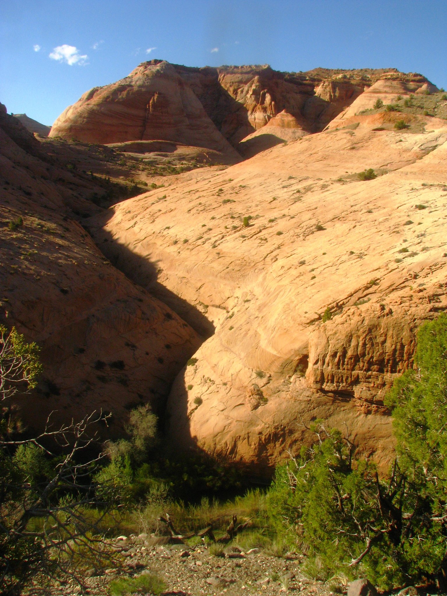
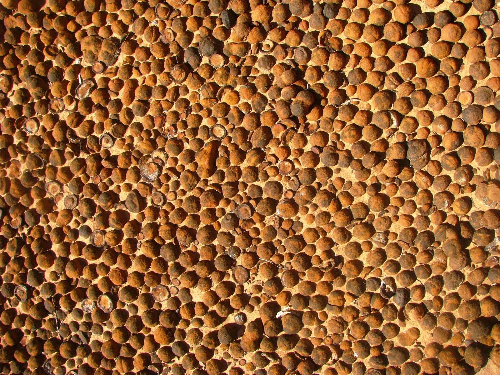
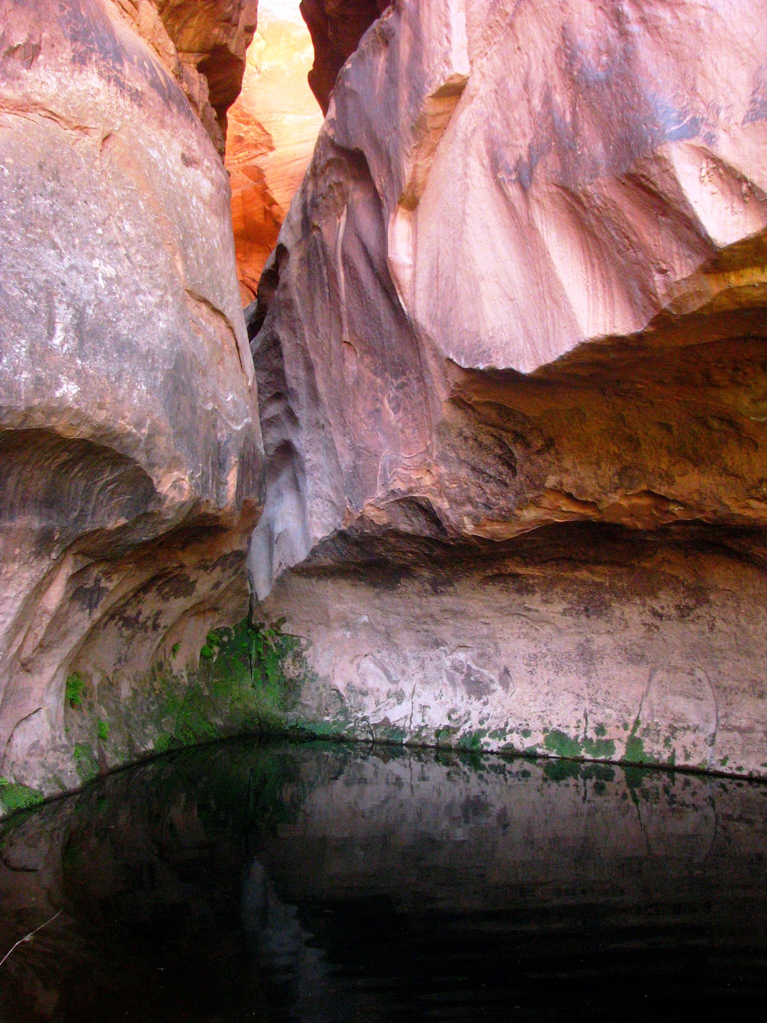
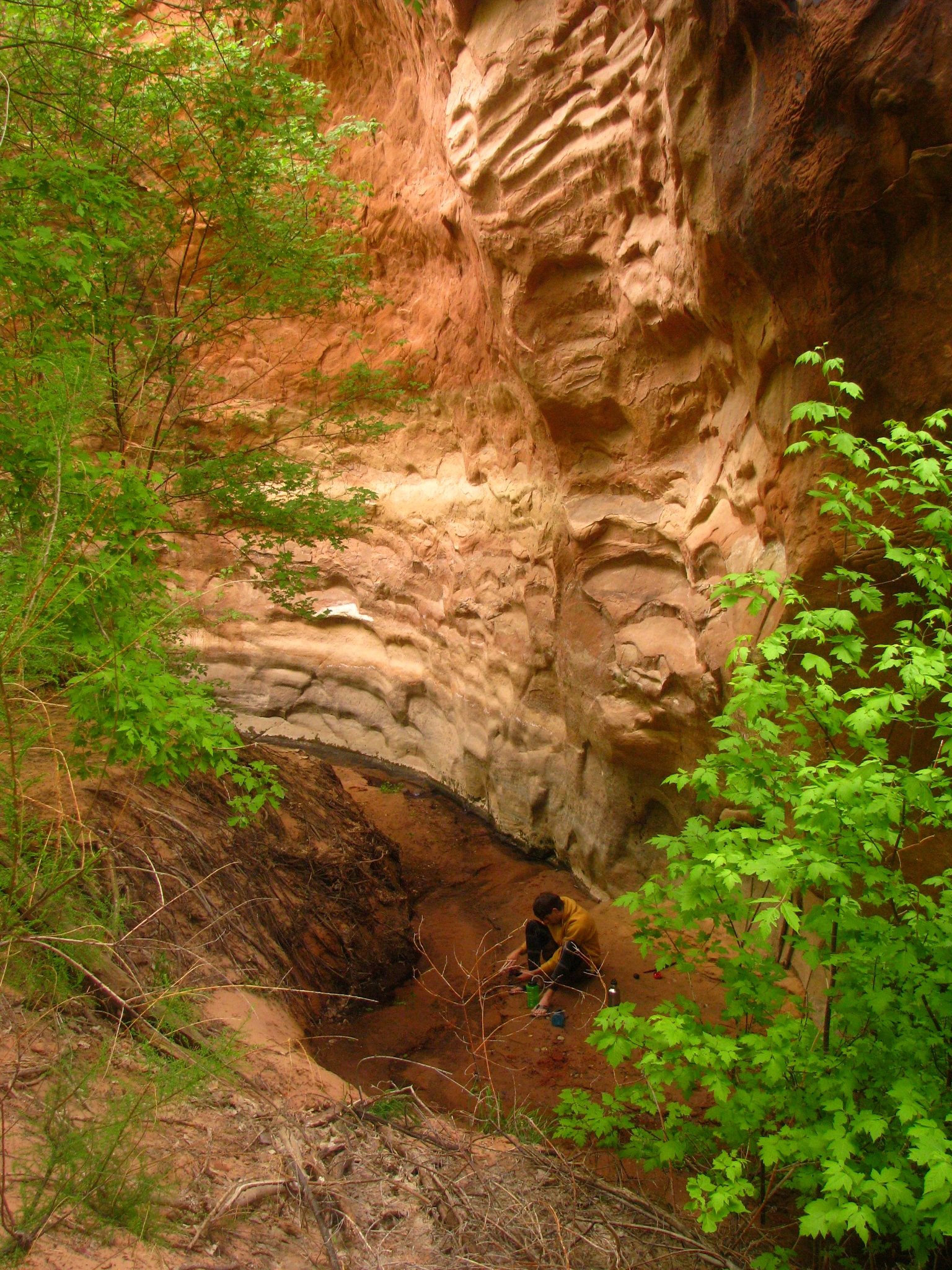
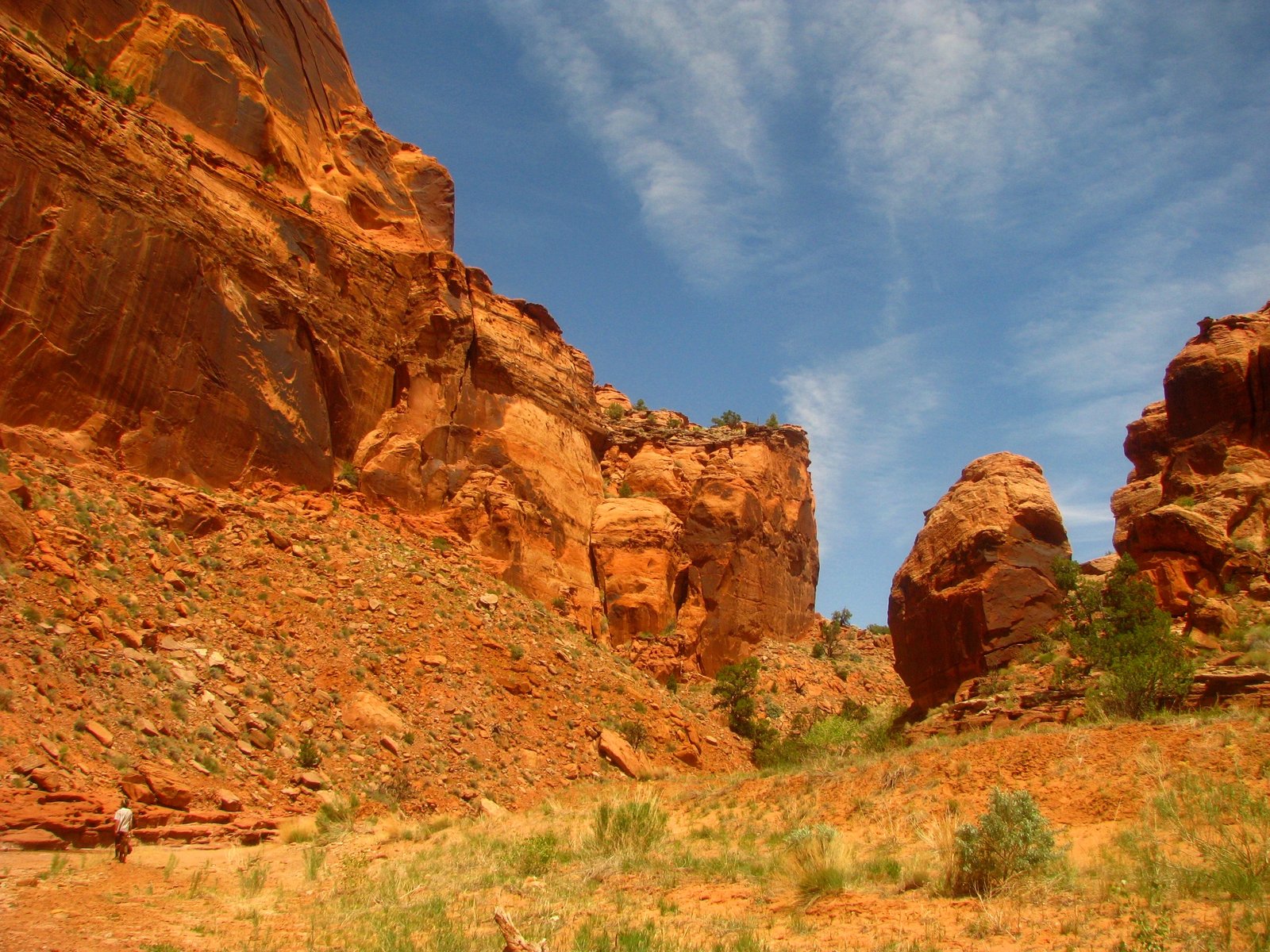
Ancient dune fields survive here as sandstone. Wingate forms sheer red cliffs; Kayenta breaks into ledges; Navajo rounds into pale domes and sweeping canyon walls. Uplift and the river's erosion have opened these layers to view.
In the lower corridor, softer Chinle beds erode beneath harder Wingate sandstone. Blocks fall from the undermined cliffs and collect in the channel, bringing the canyon's geology directly into the paddling.
Hazards
Shallow water, strainers, tight boulder passages and portages can make progress slow. NPS describes Class II water requiring Class III skills because of the river's remoteness and limited exits. Flash floods can change the channel and move debris.
The hike out requires its own route planning. Coyote Gulch has several exits with different lengths and exposure; this map stops at the river confluence.
Check current flow guidance and backcountry requirements, and Coyote Gulch access information before a trip. Overnight permits are required; carry out solid human waste and follow current fire restrictions.
Photo albums
2 trips 136 photographs
Select a visit to open its photographs.