Water Holes
Canyon
Navajo Nation · Northern Arizona
36.8369° N · 111.5084° W US 89 crossing · approximate
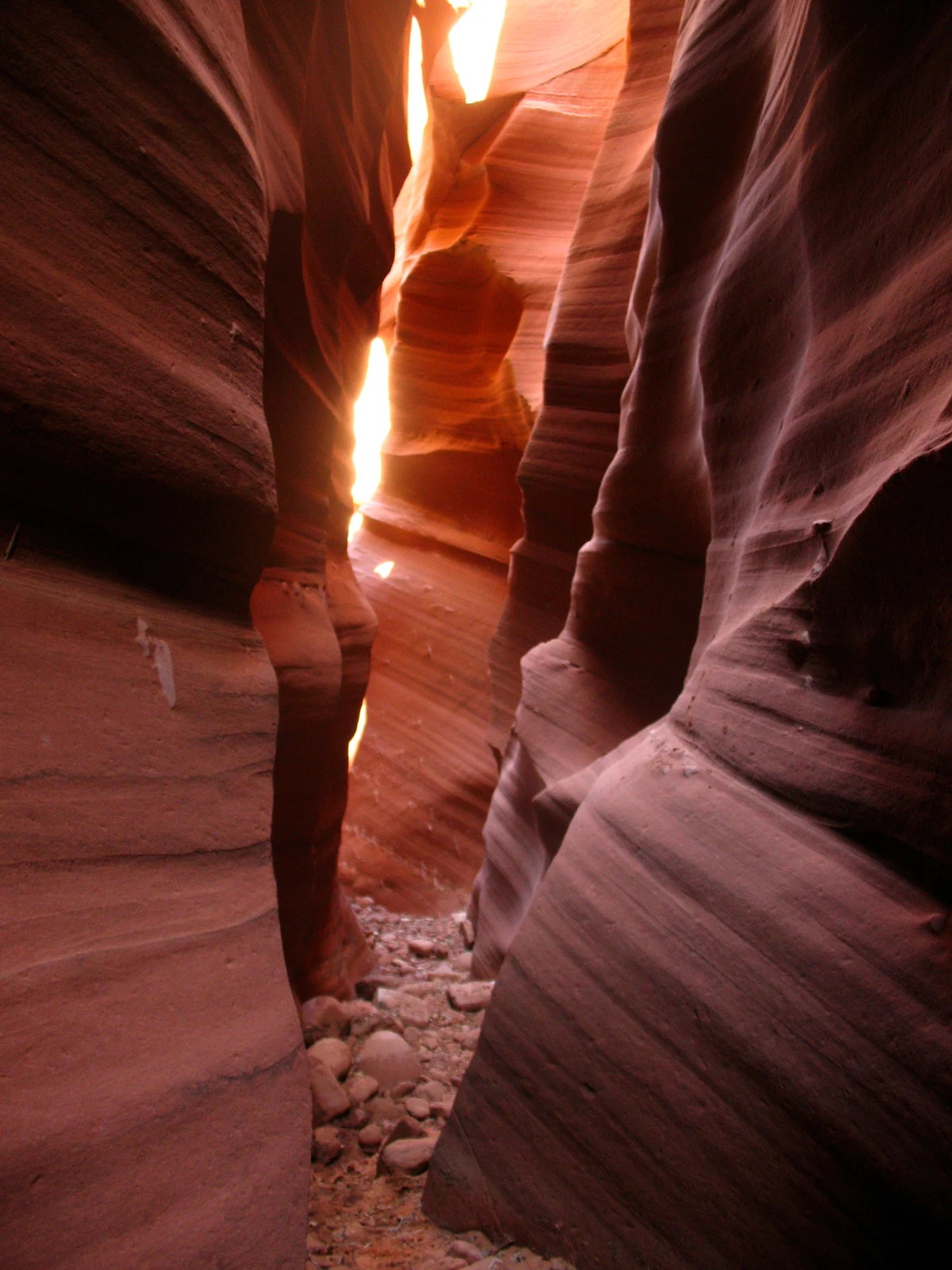
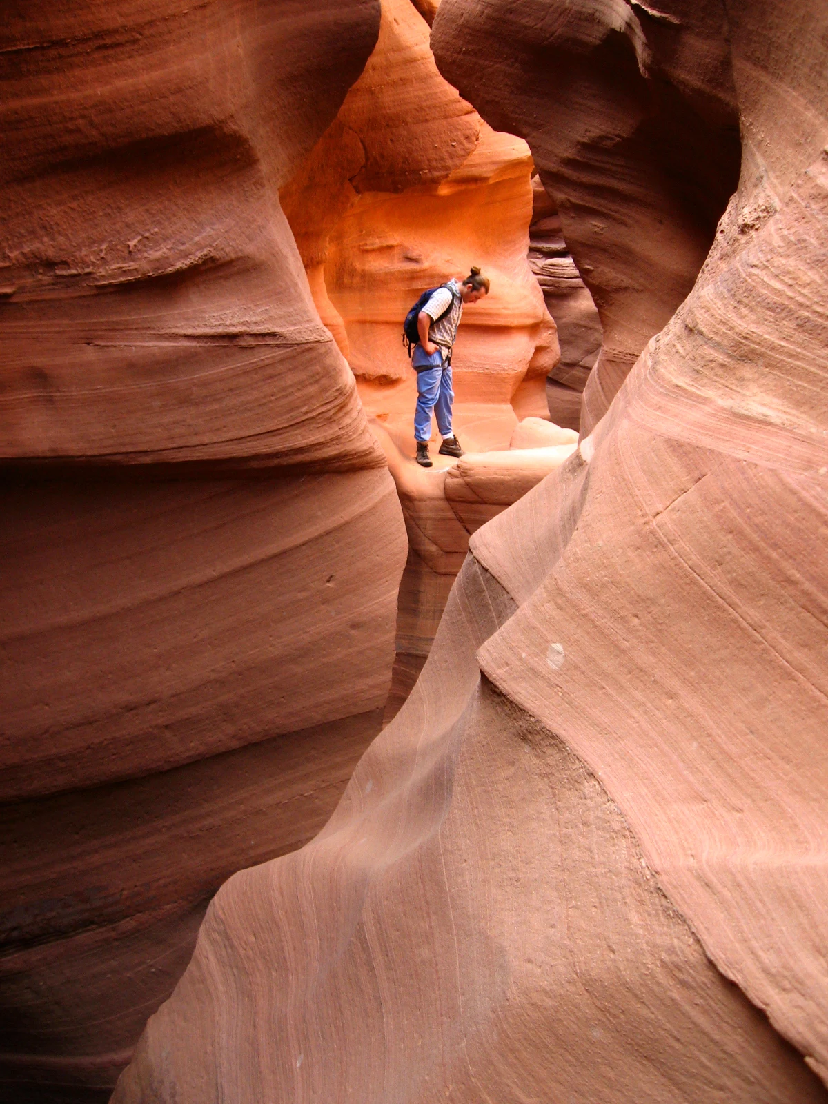
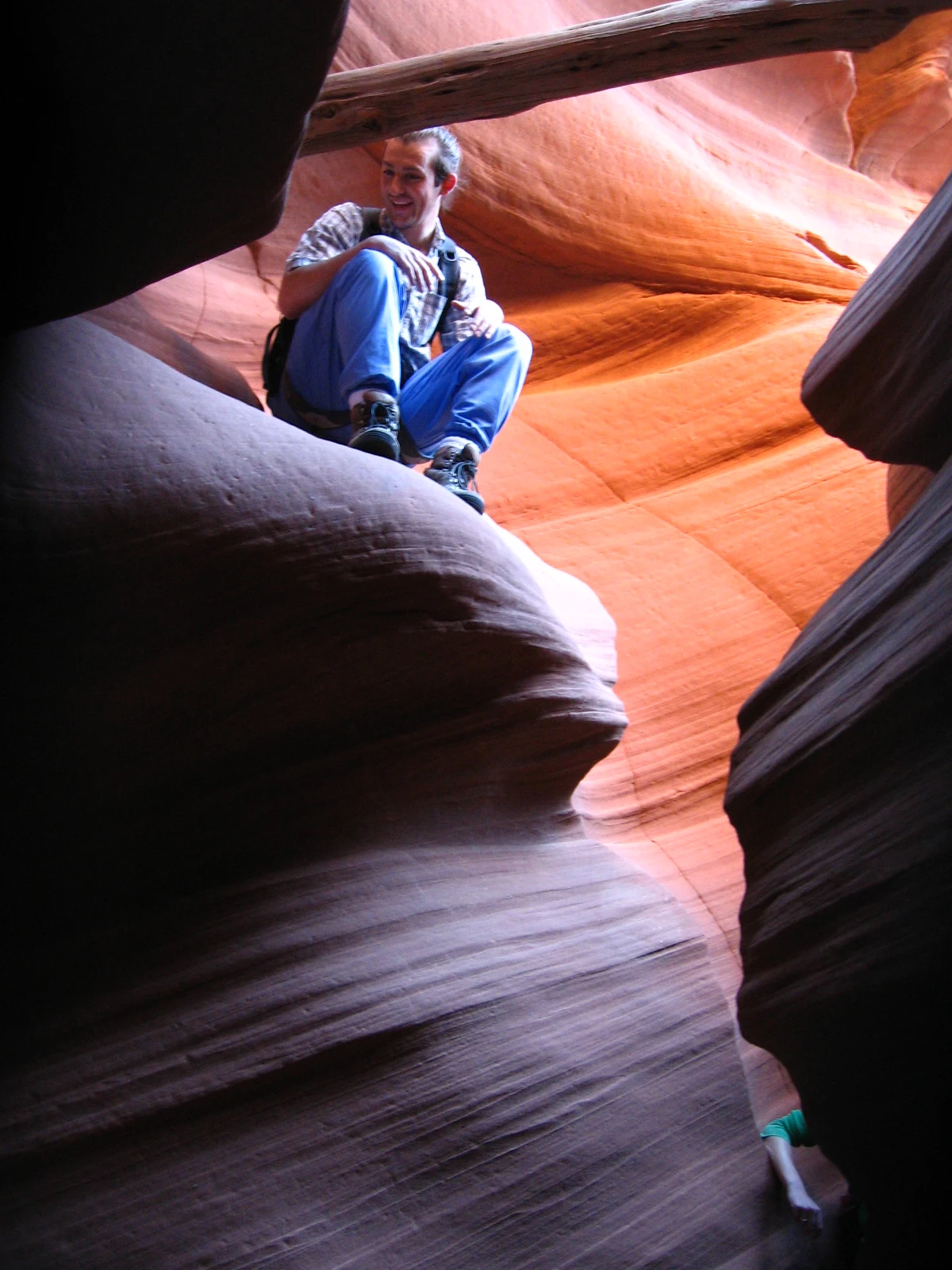
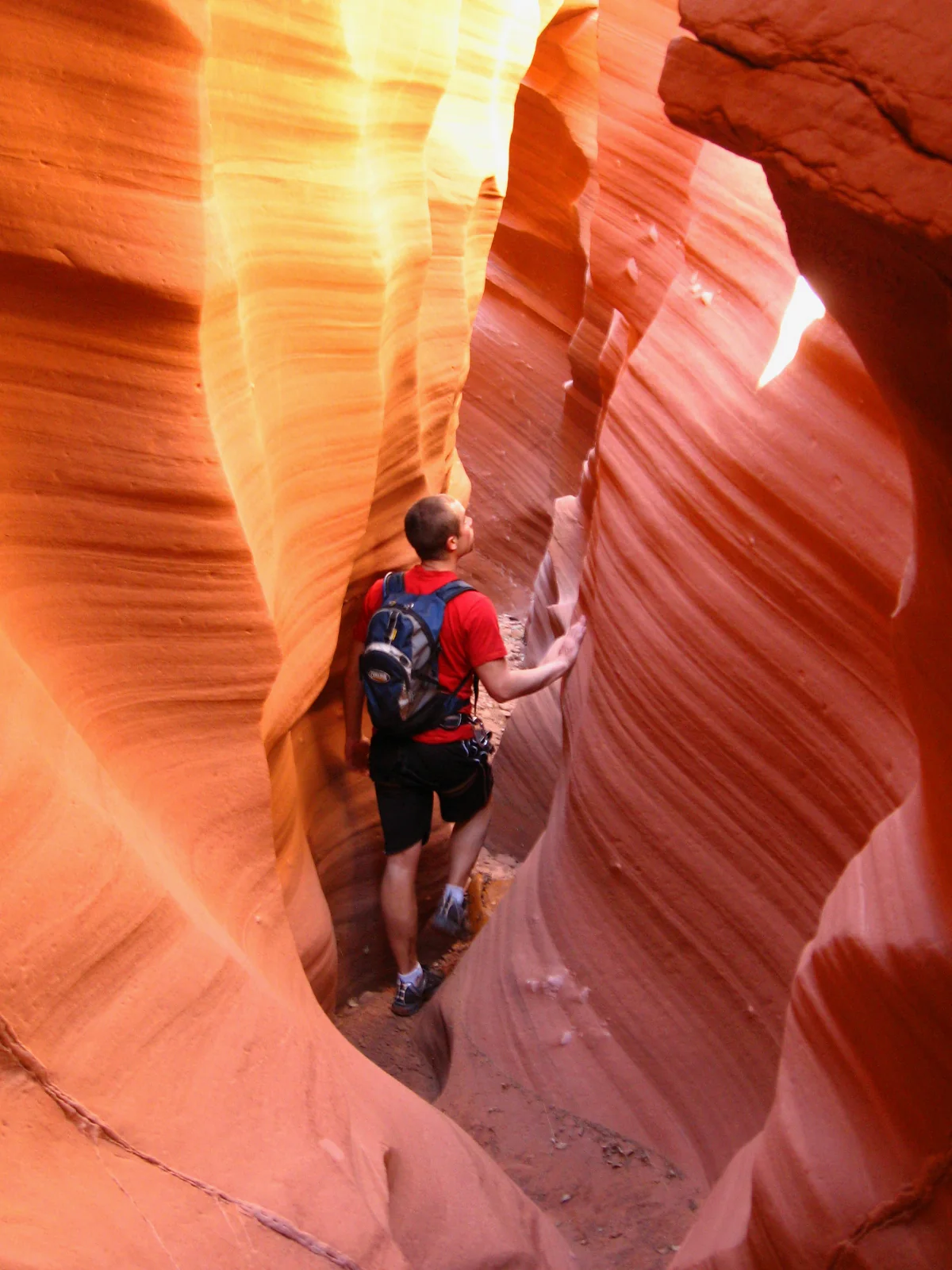
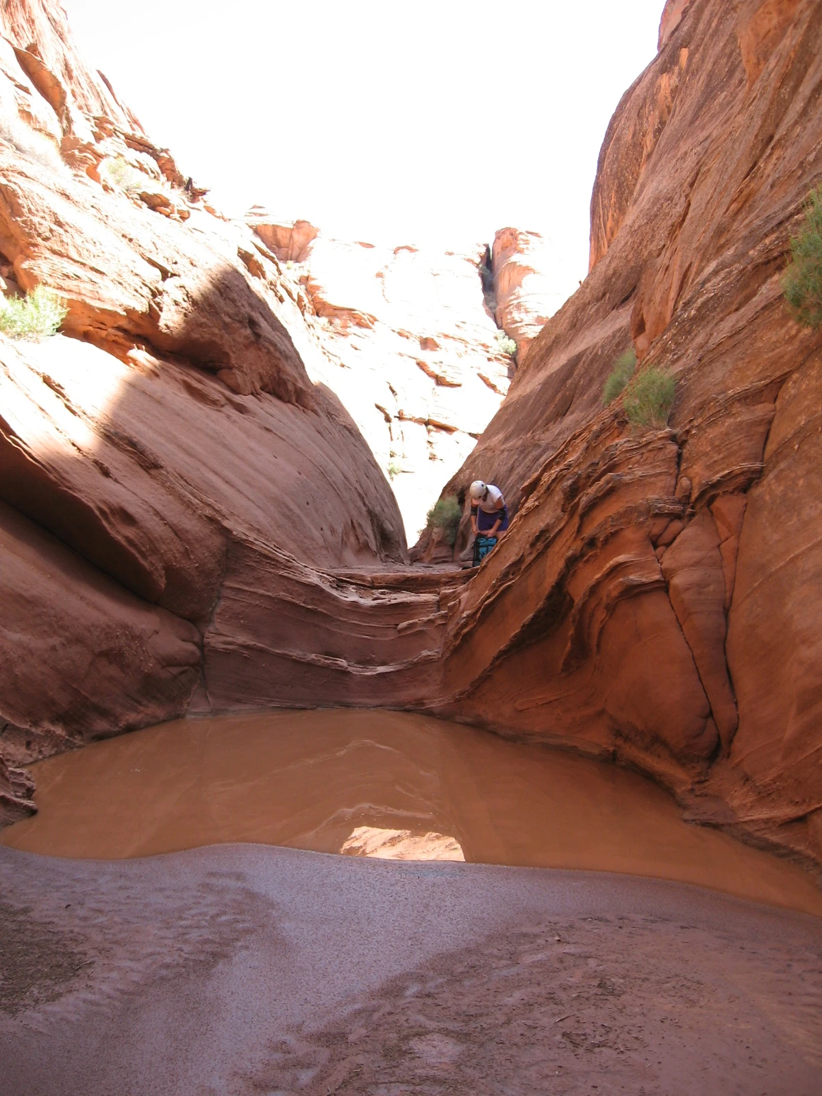
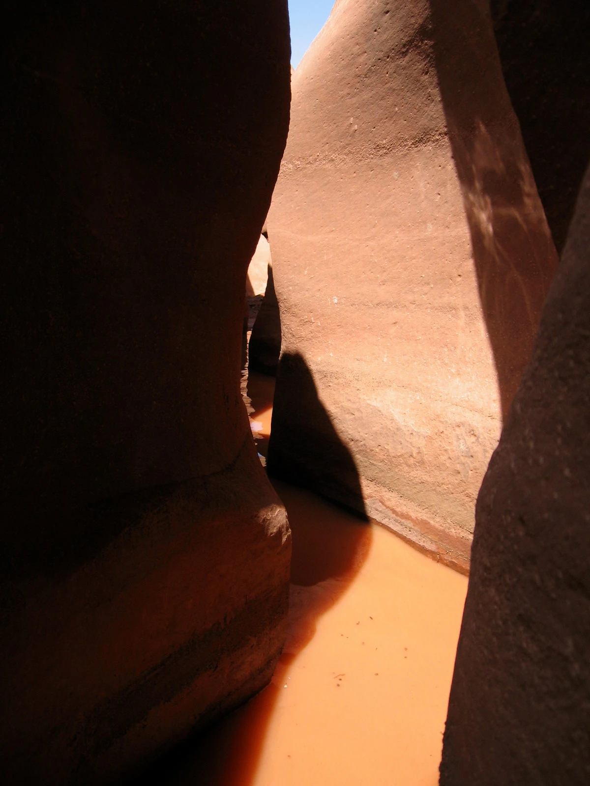
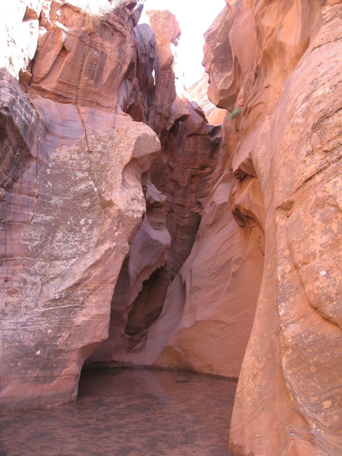
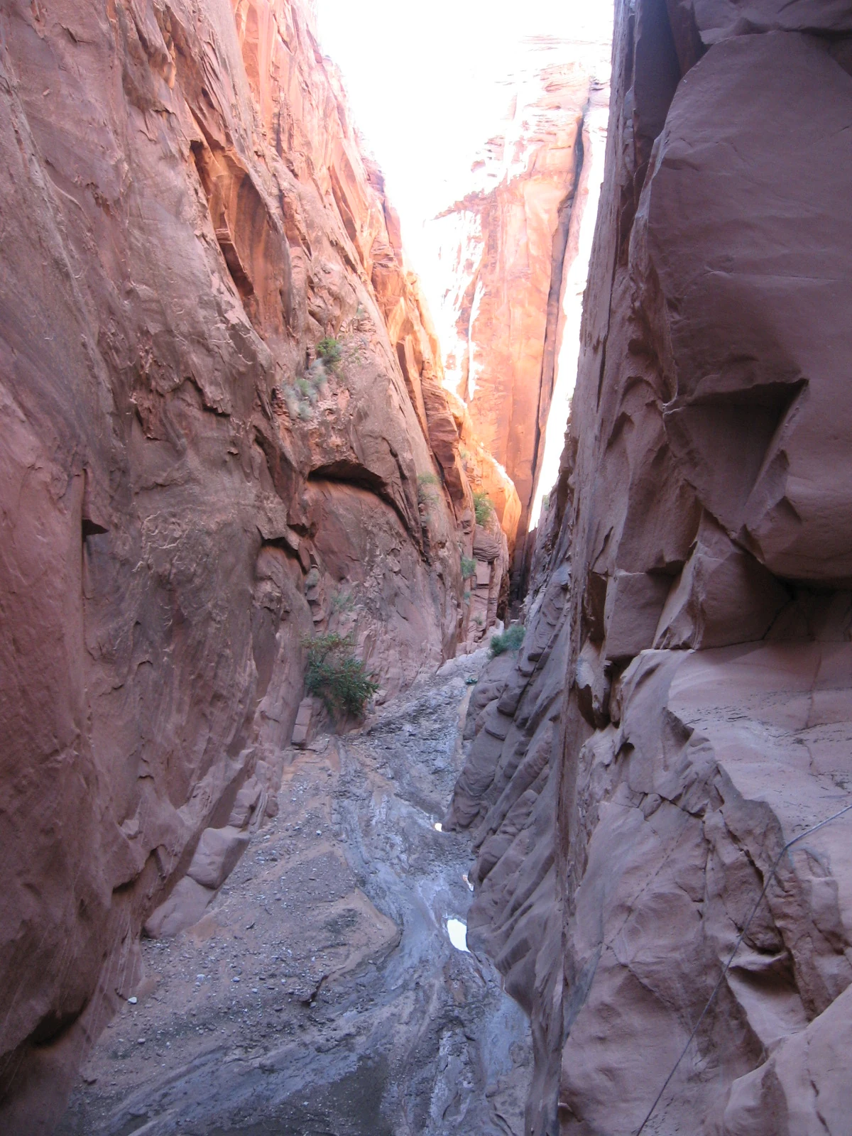
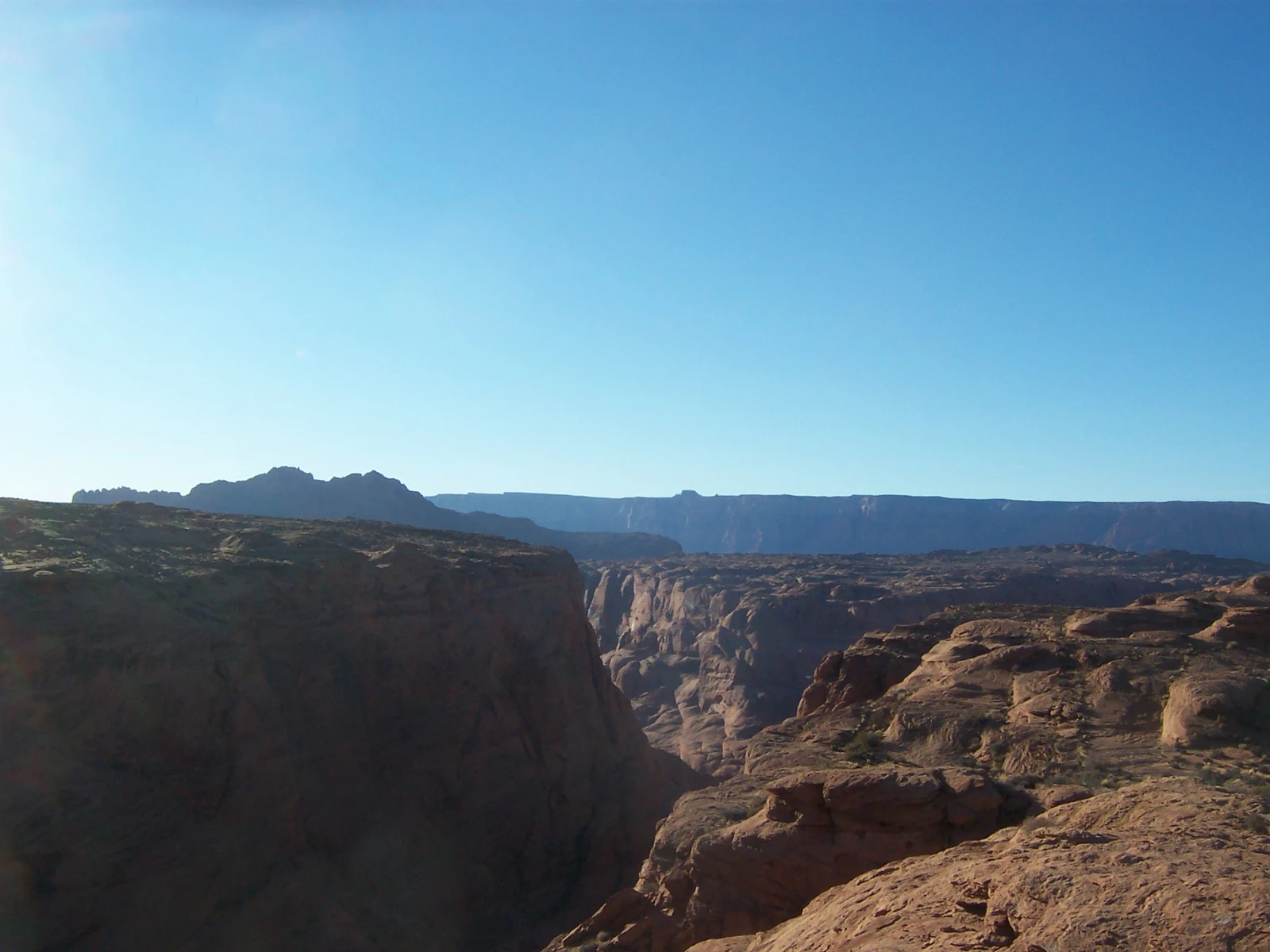
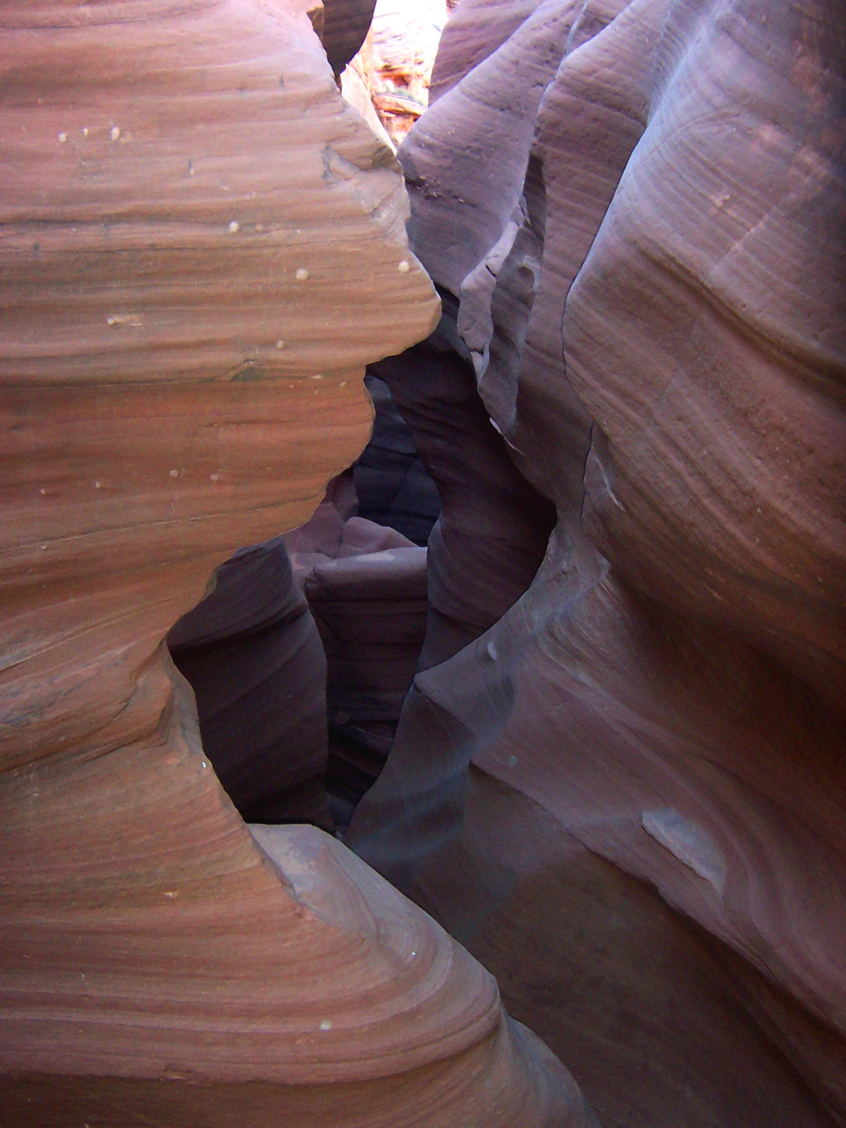
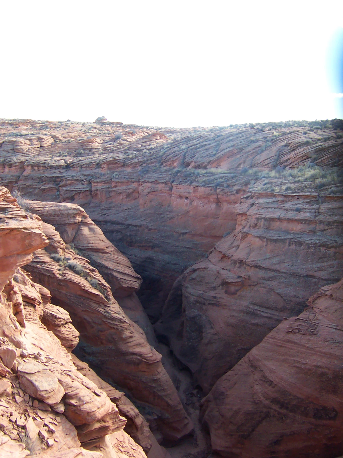
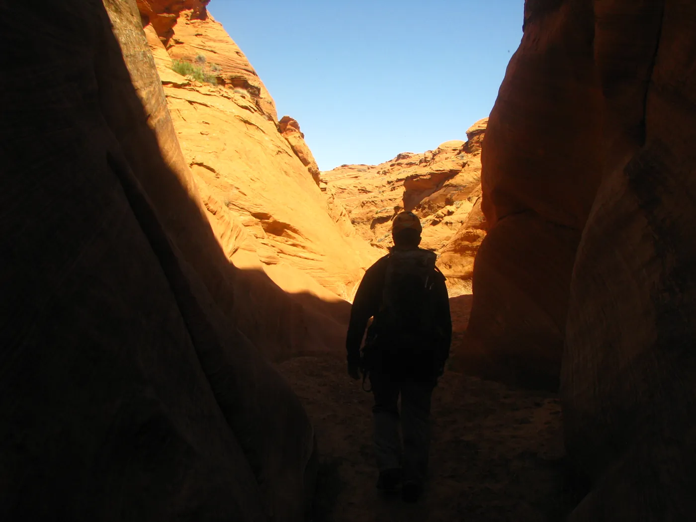
A few miles south of Page, the highway crosses a narrow cut in the sandstone. Traffic keeps moving overhead. Below it, Water Holes turns away from the road into deep, twisting passages, where a little reflected light does most of the work.
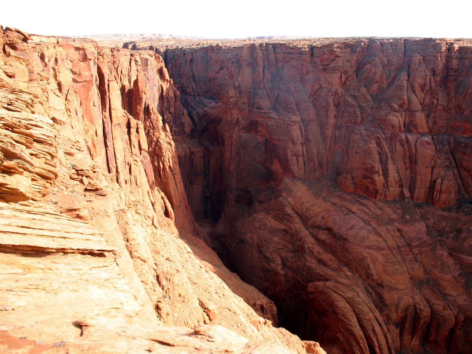
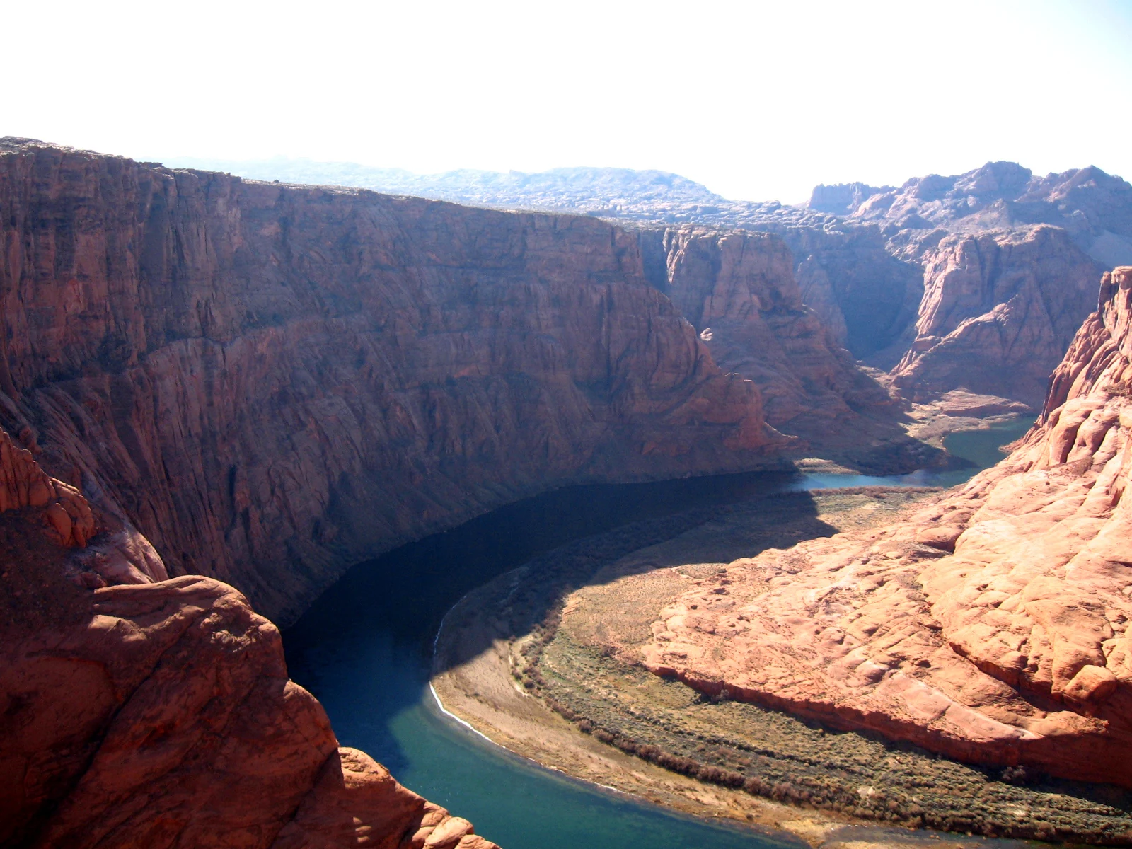
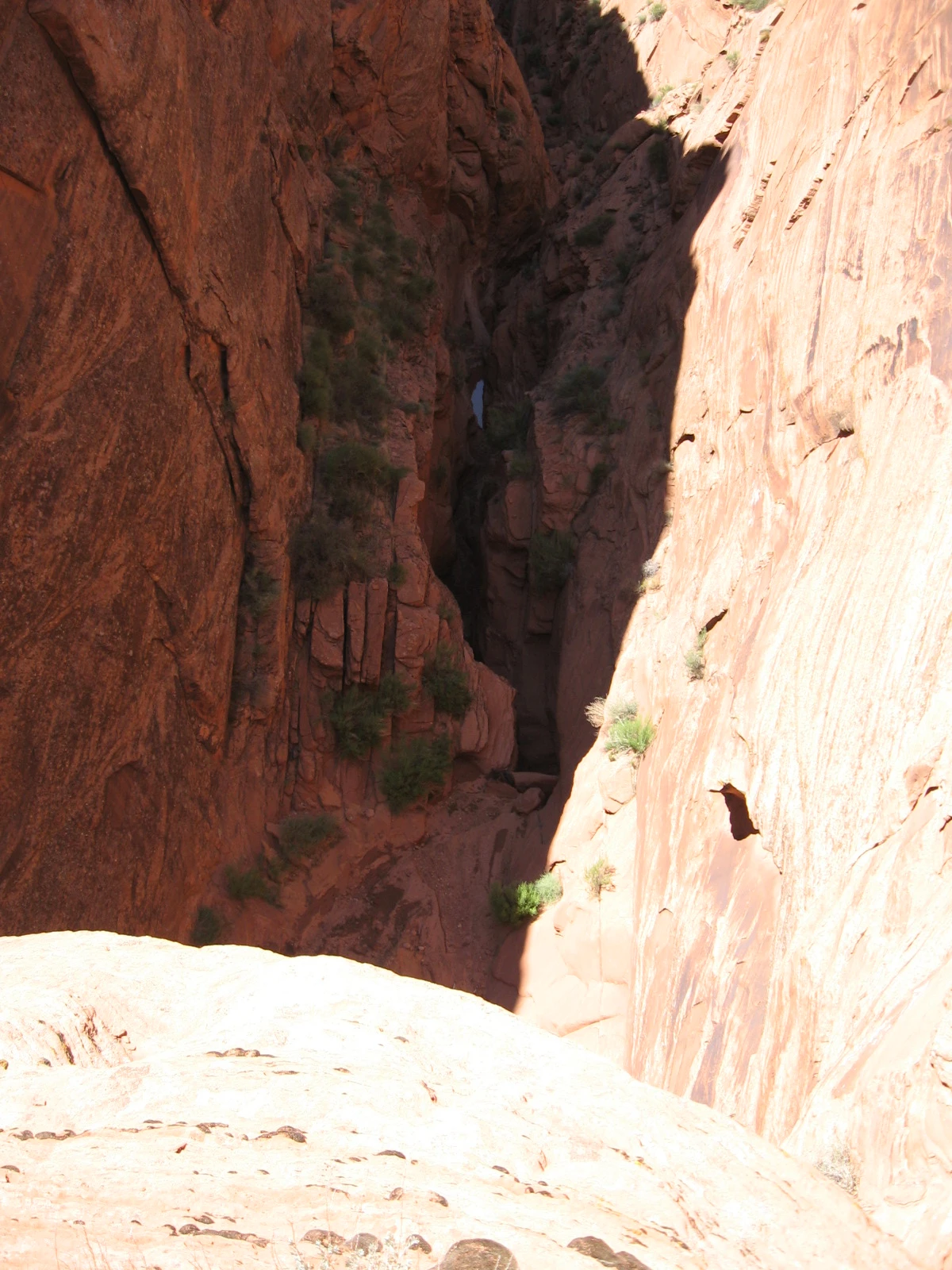
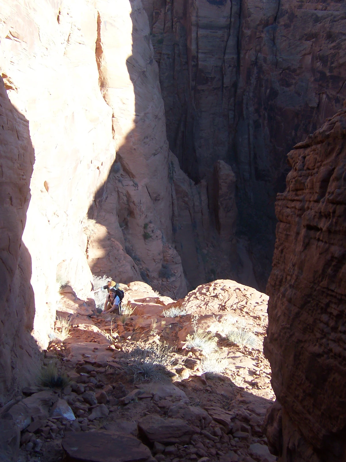
Downstream, the canyon gets serious. Potholes and short drops lead toward the Big Drop, then the walls finally give way to the Colorado River. There is a great deal of canyon hidden beneath that ordinary stretch of highway.
Overview
- Type
- Technical sandstone slot
- Mapped reach
- 2.9 mi · drainage line
- Rappels
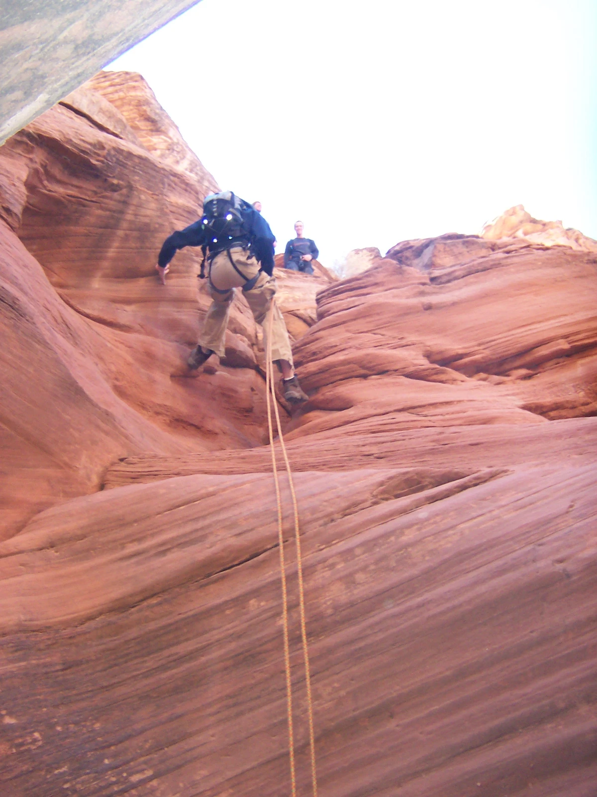
- Long, advanced sequences
- Finish
- Colorado River
- Access
- Check Navajo Parks ↗
Water Holes is a branched drainage on Navajo Nation land south of Page. This map follows its lower canyon toward the Colorado River. The upper guided slots, shorter technical trips, and a full descent to the river are different outings, with different exits and levels of commitment.
Confirm permission for the specific section and parking with Lake Powell Navajo Tribal Park. The mapped distance measures the drainage centerline and excludes approaches, rim returns, and any river exit.
11 recorded visits · 2006–2010
Route & map

- Canyon drainage
- Reference points
East of US 89 to the Colorado River · north is up.
USGS drainage geography with approximate historical reference points. The line follows the wash, not a surveyed footpath or rappel line; no bypass, rim return, or river exit is drawn.
Geology
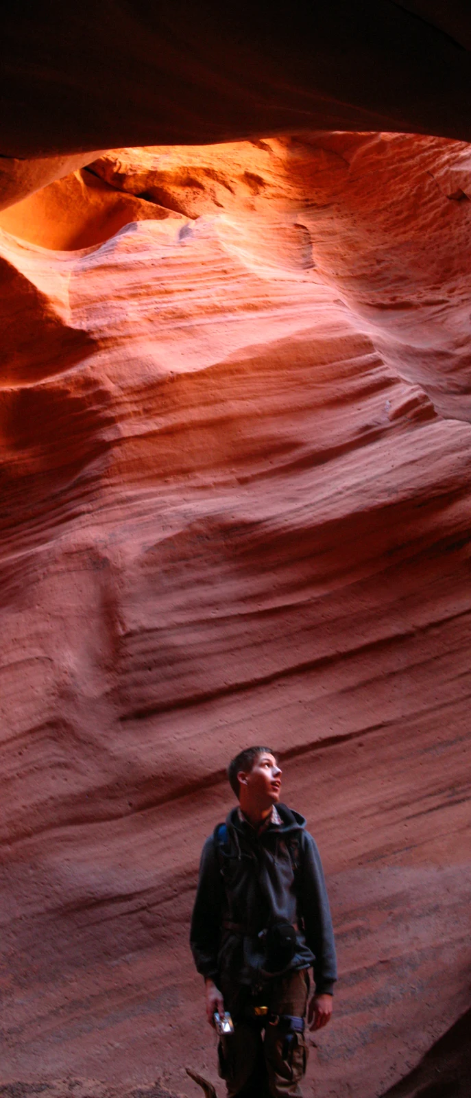
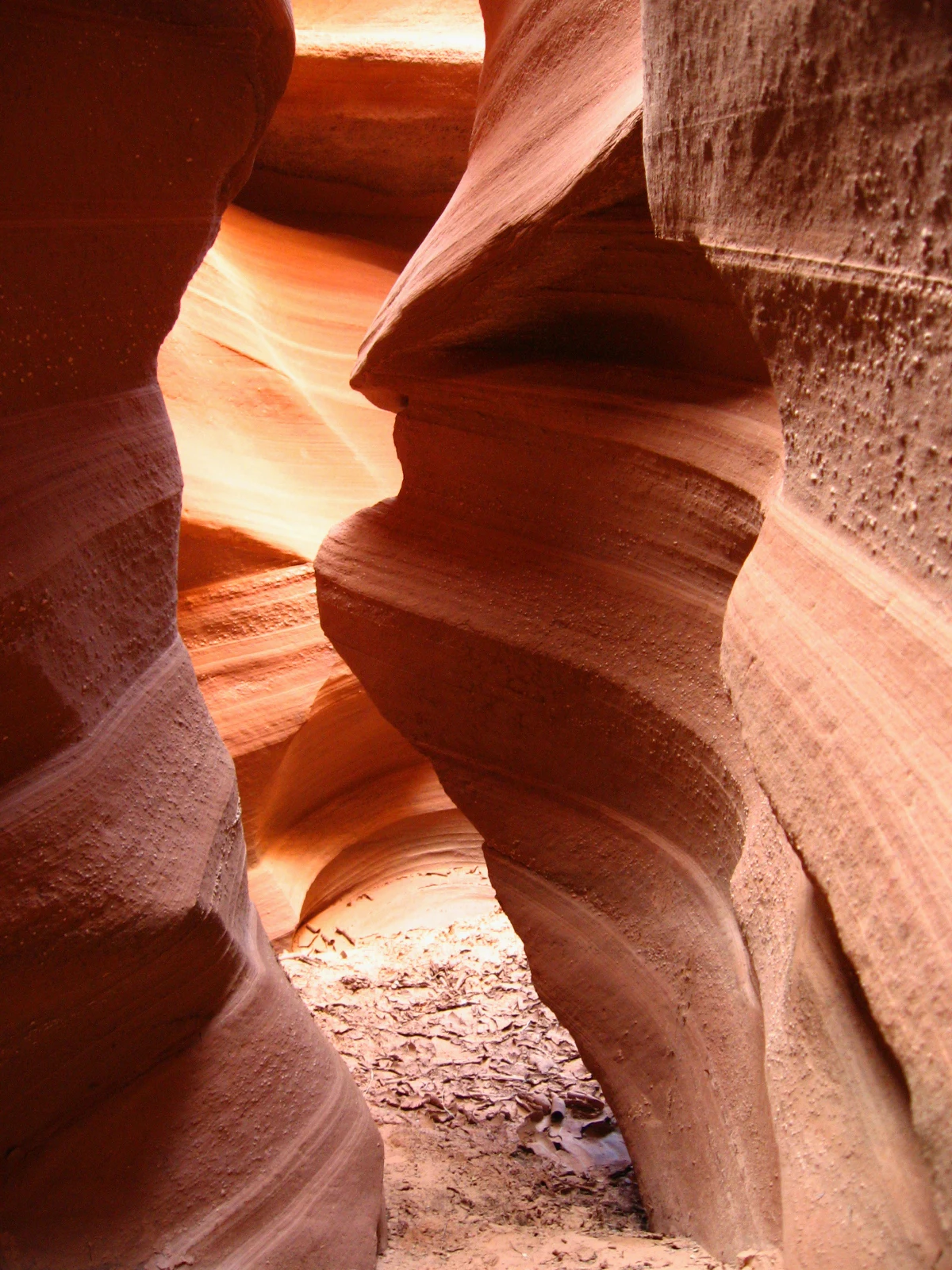
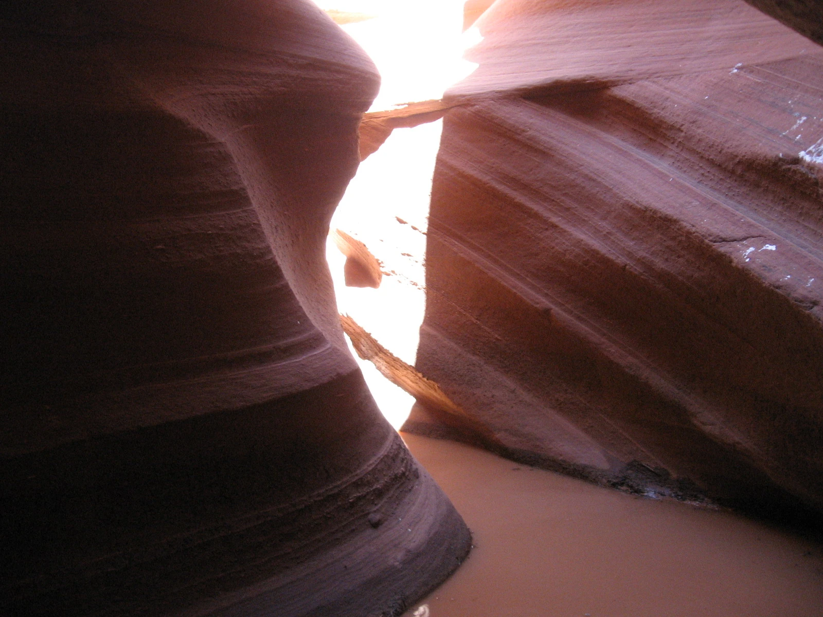
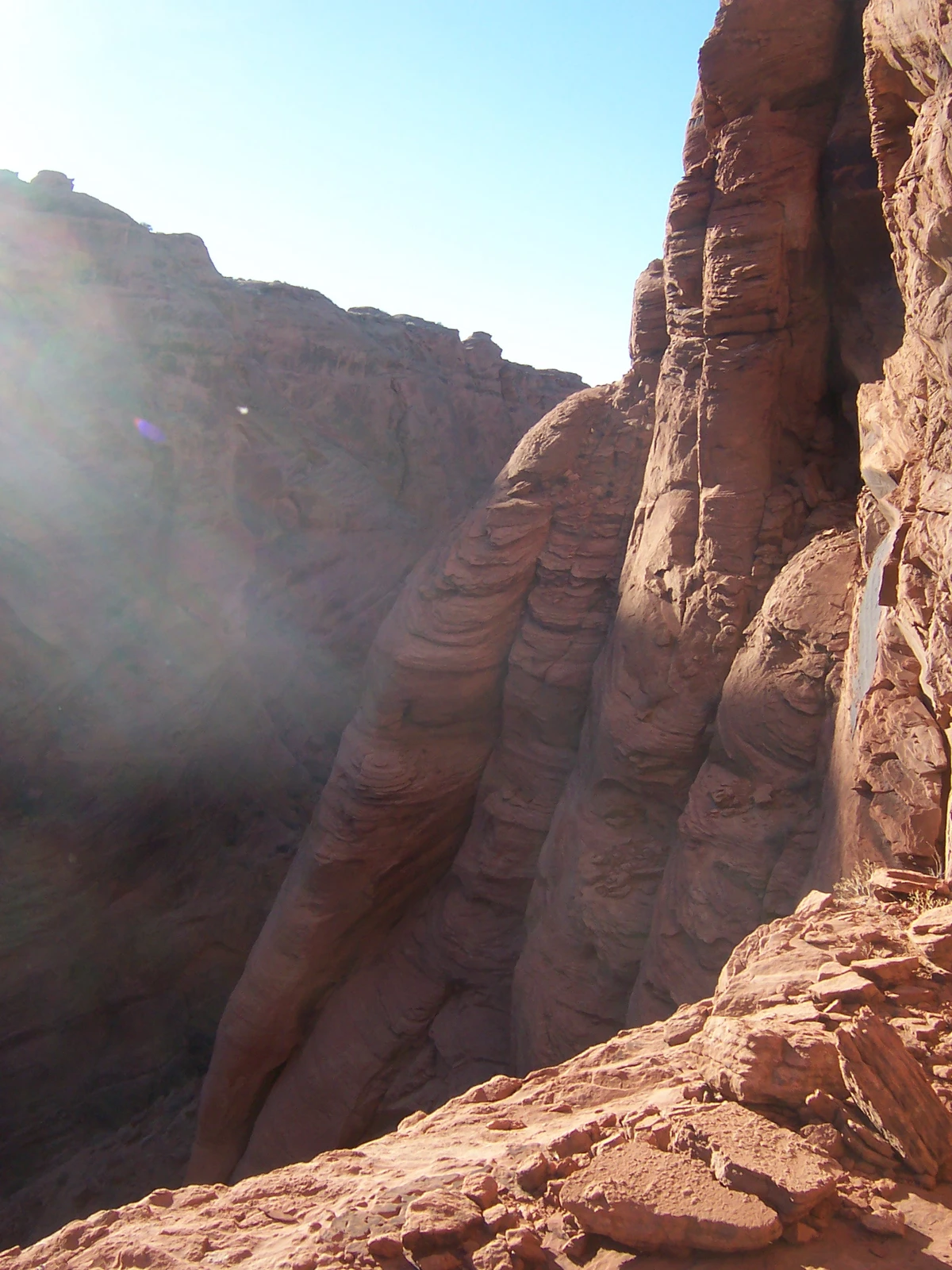
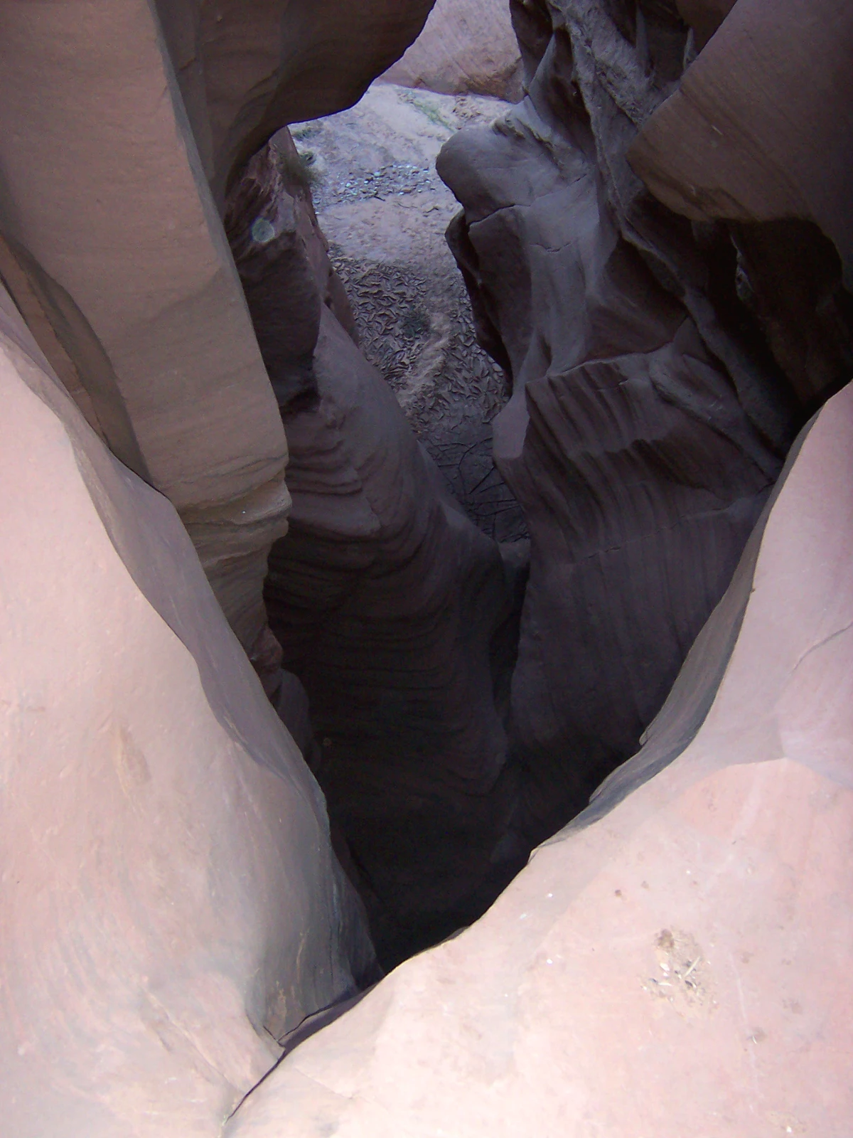
Water Holes cuts through Navajo Sandstone, a rock formed from an ancient field of windblown dunes. The slanting bands preserved in the walls record those migrating dunes. Later runoff followed weaknesses in the stone, carrying sand and gravel through the growing drainage.
Flash floods continue to reshape the slot. Abrasion scours potholes and smooths the walls, while sediment can collect in a basin and be stripped away by the next flood. The canyon is still being made.
Hazards
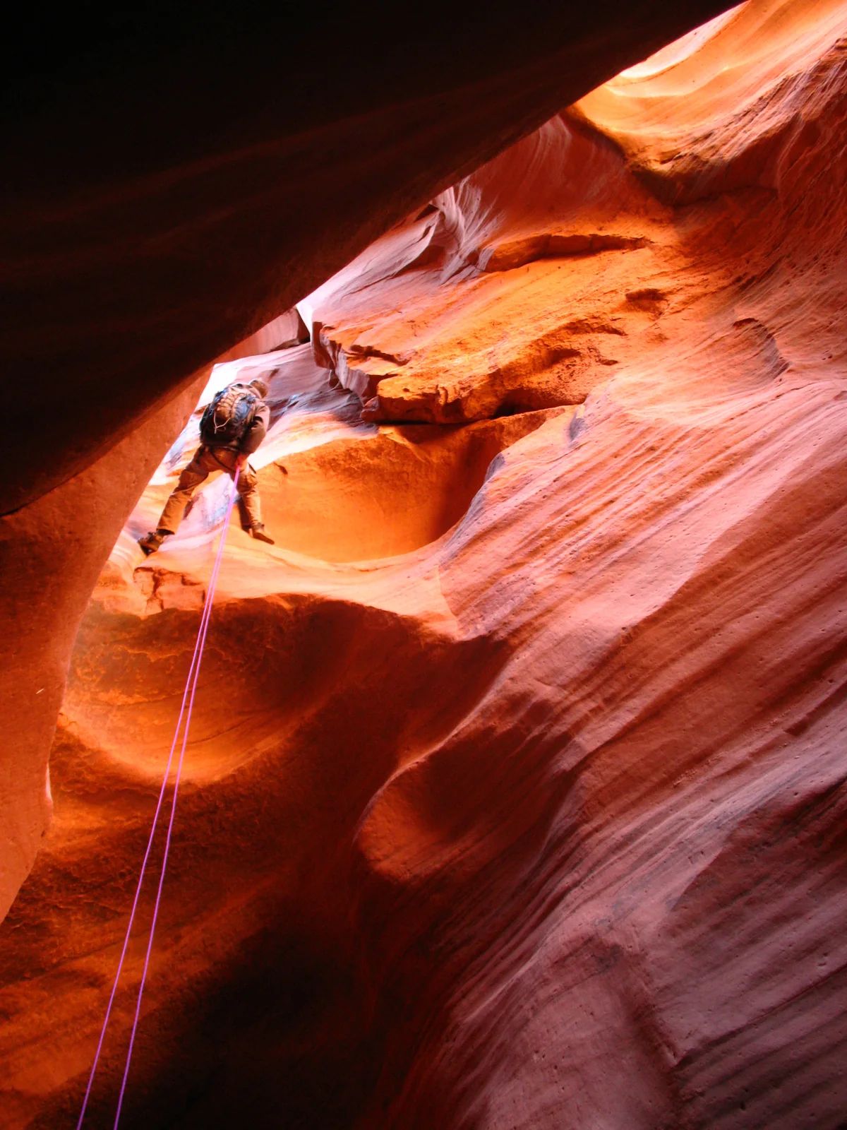
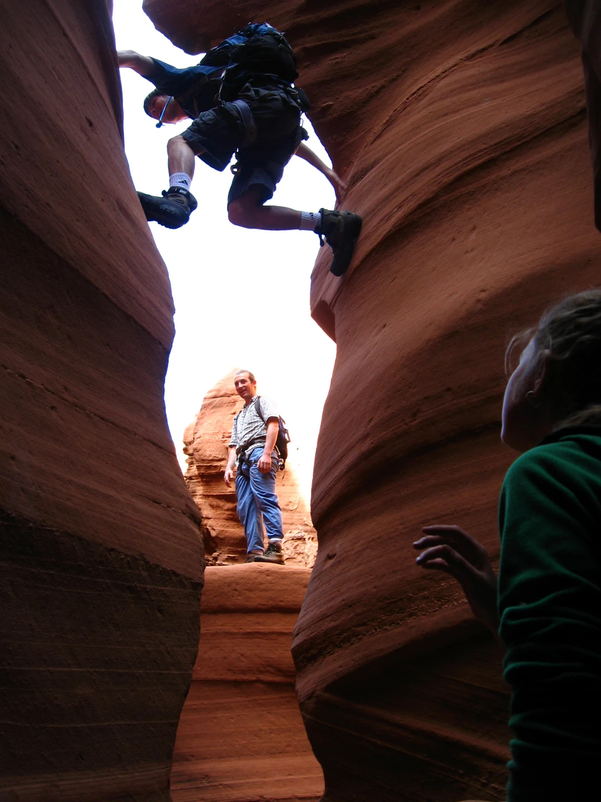
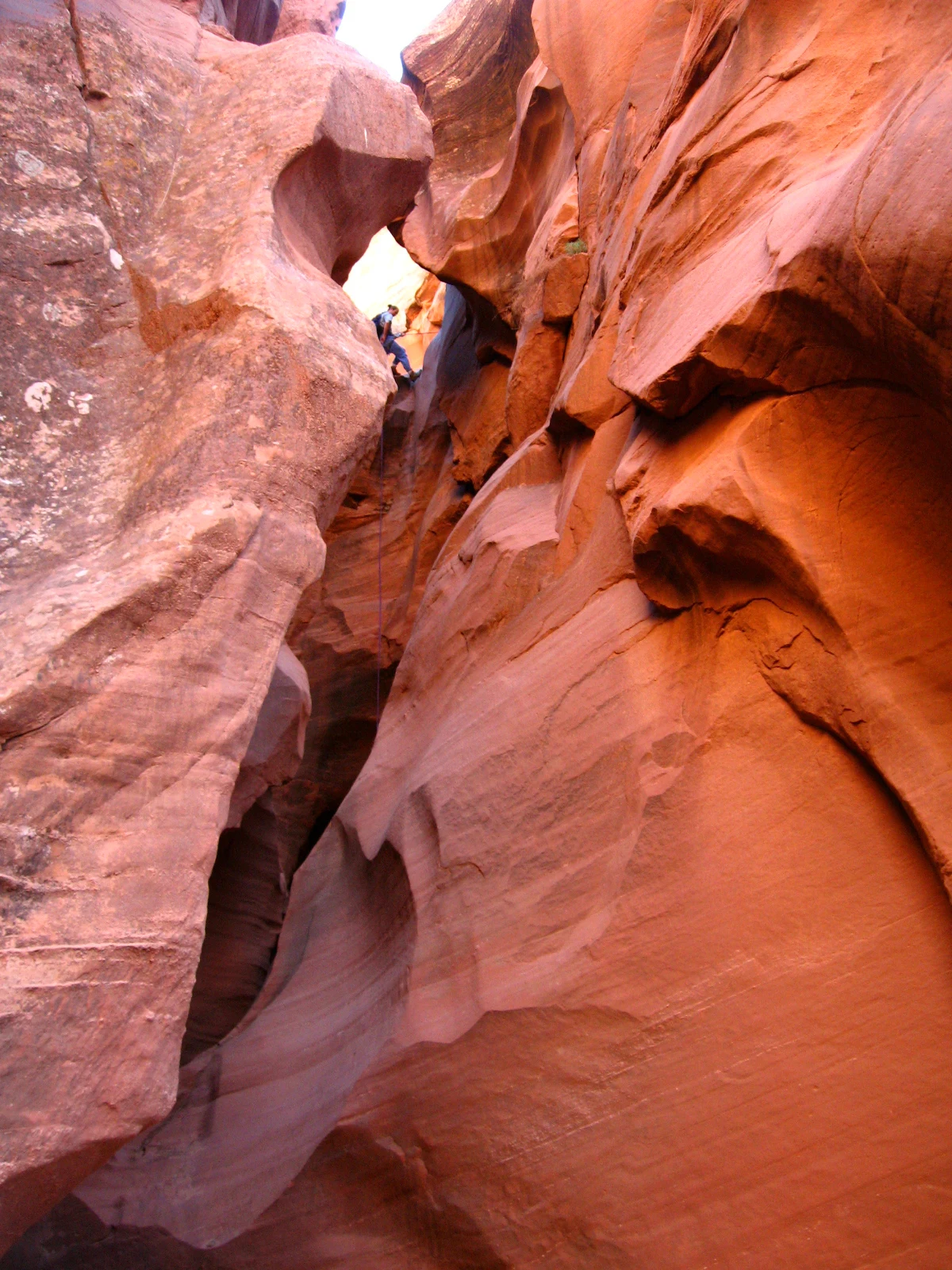
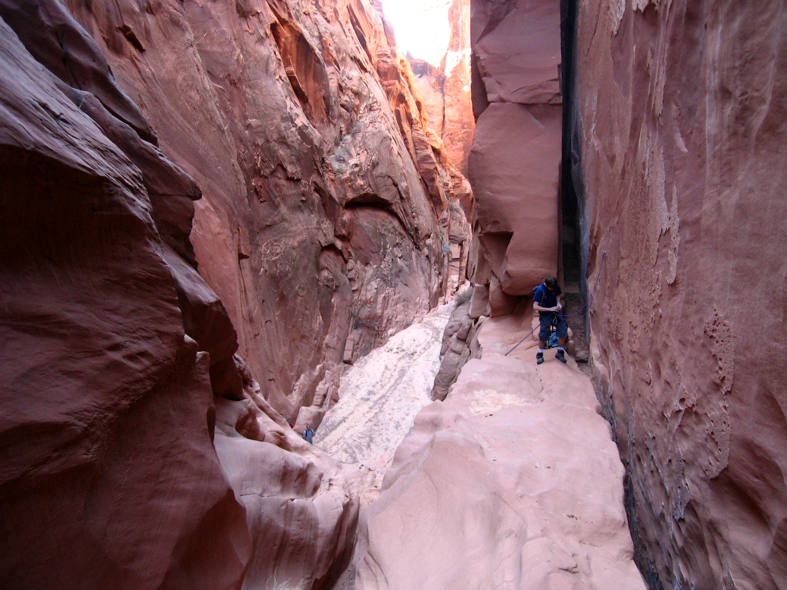
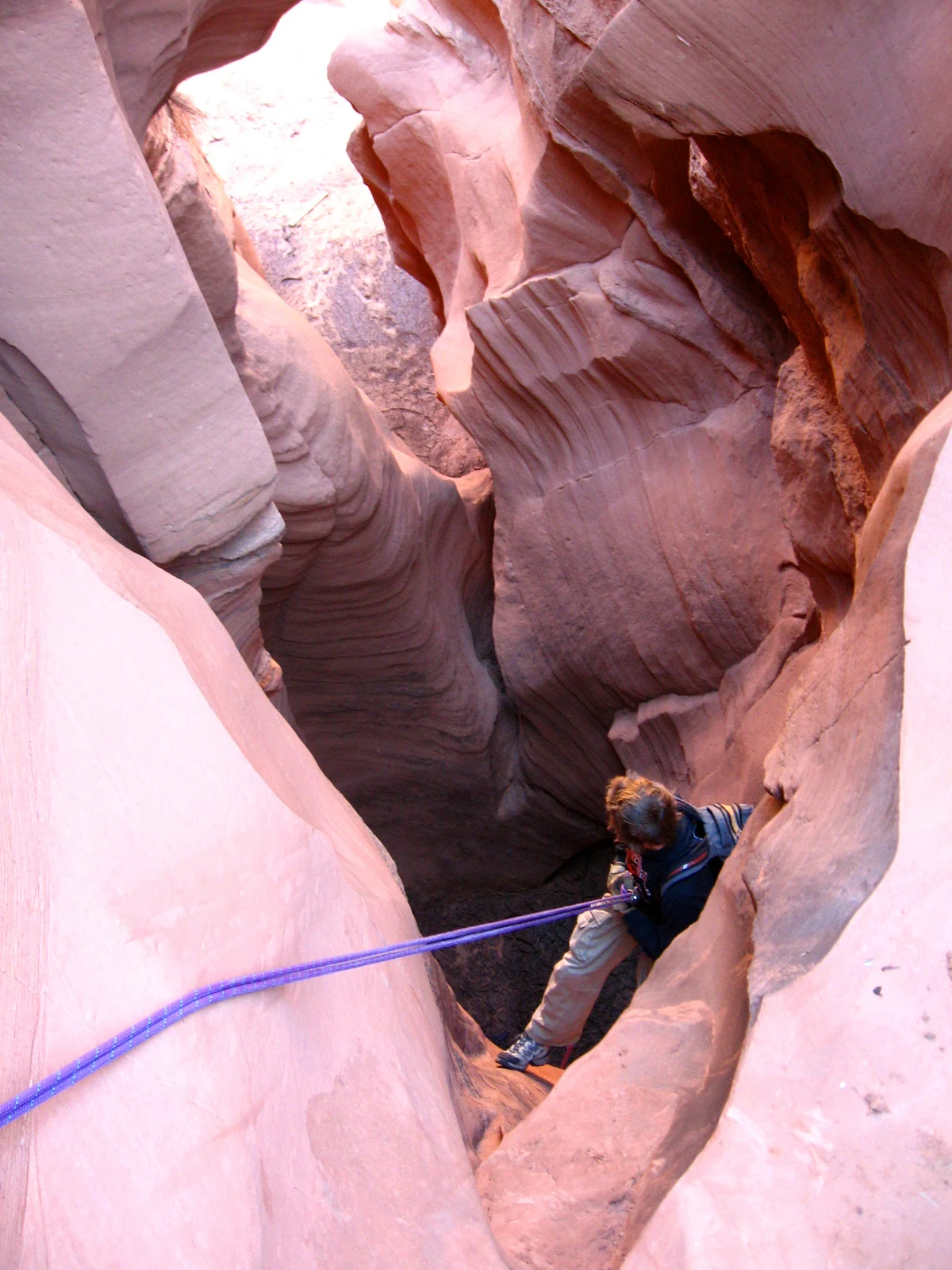
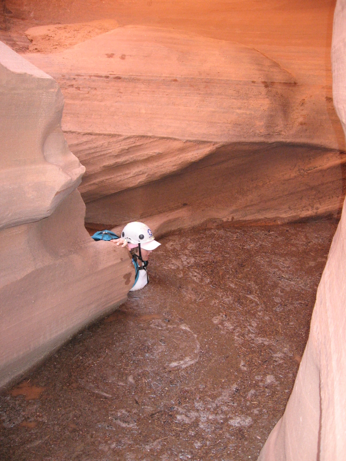
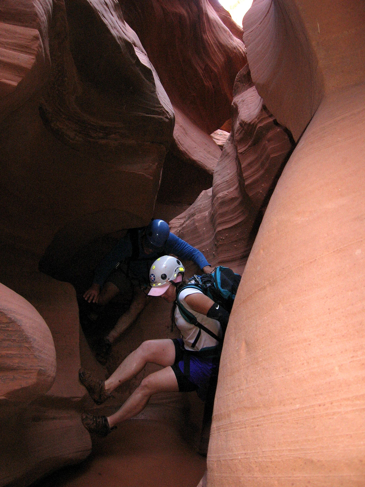
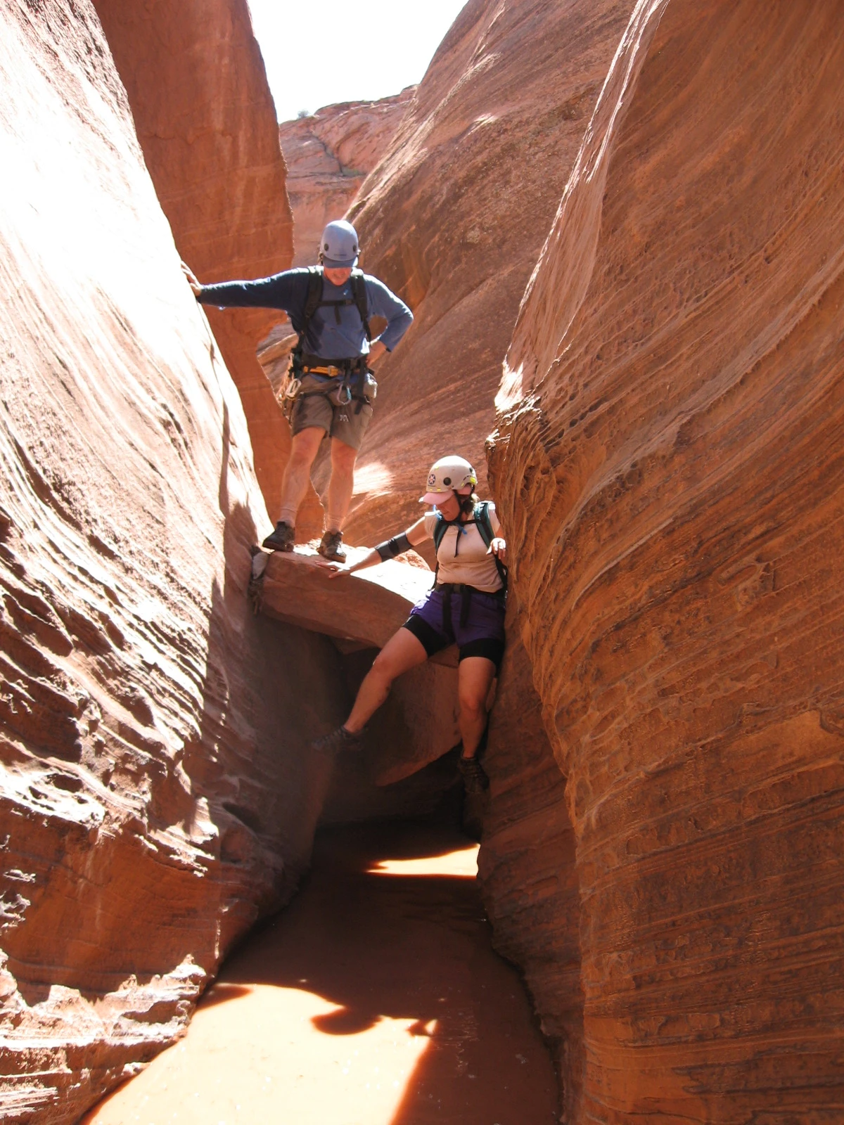
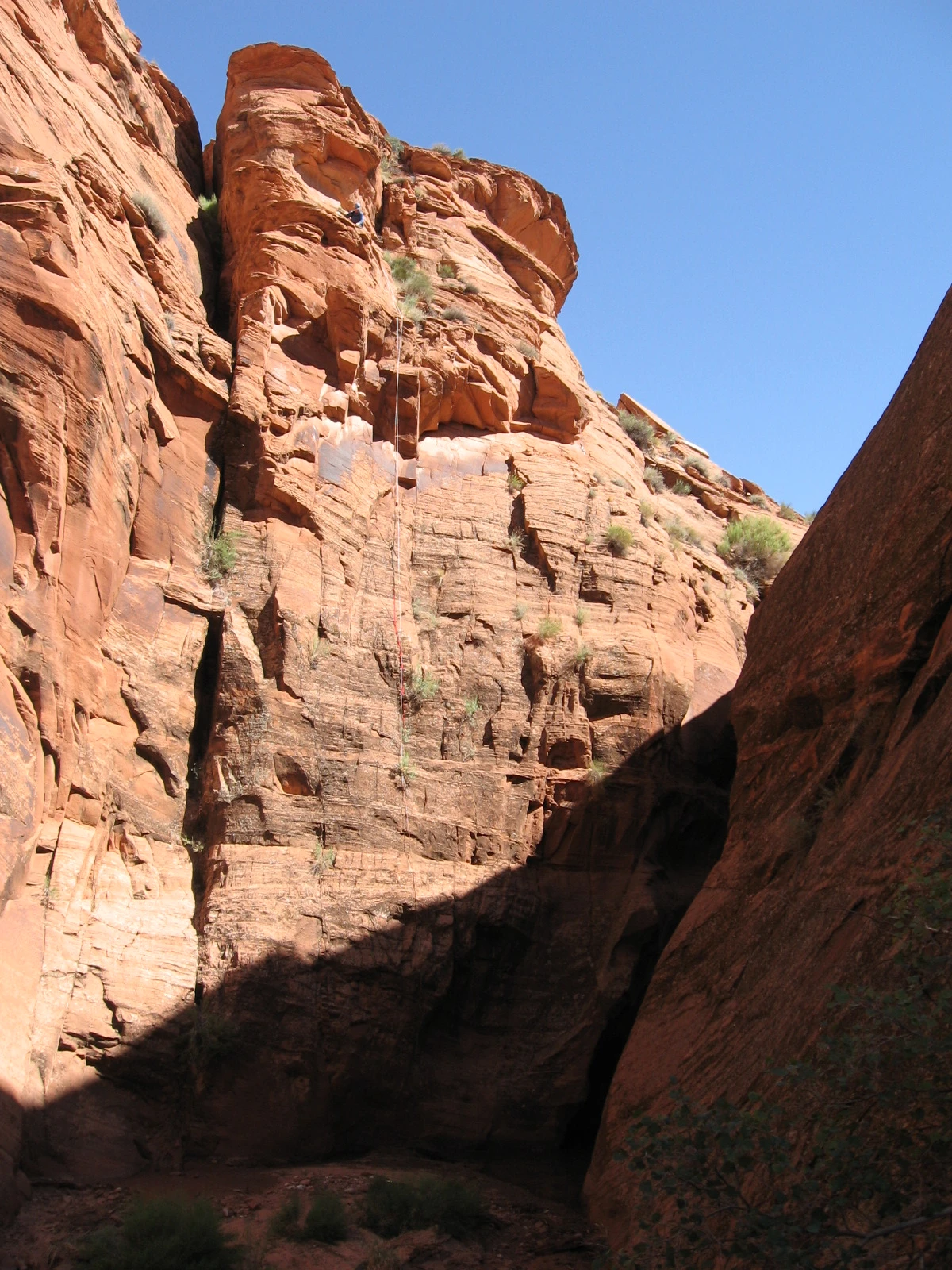
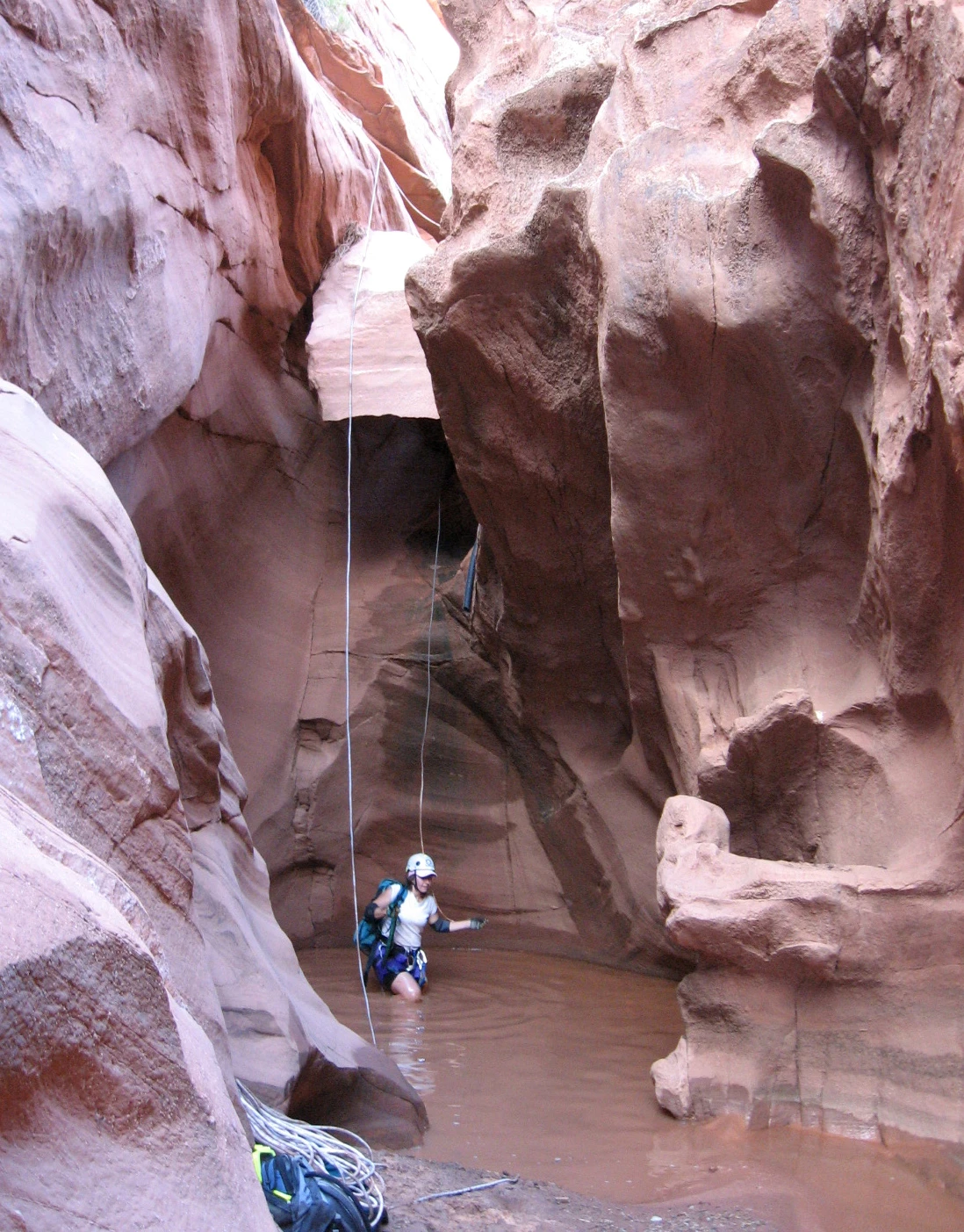
The lower canyon combines rappels, exposed transitions, potholes, and a major drop sequence. Wet weather can leave cold water and slick mud; changing sand levels can alter pothole exits. Published drop lengths and anchor arrangements vary, so the historical map markers cannot establish a rope plan.
Rain upstream can send a flash flood into the slot beneath a clear sky. A full descent also reaches the Colorado River, where a separately arranged river exit and preparation for cold water become part of the trip.
Navajo Parks access · Glen Canyon safety · CAC canyon background · Regional geology
Photo albums
6 trips 125 photographs
Select a visit to open its photographs.