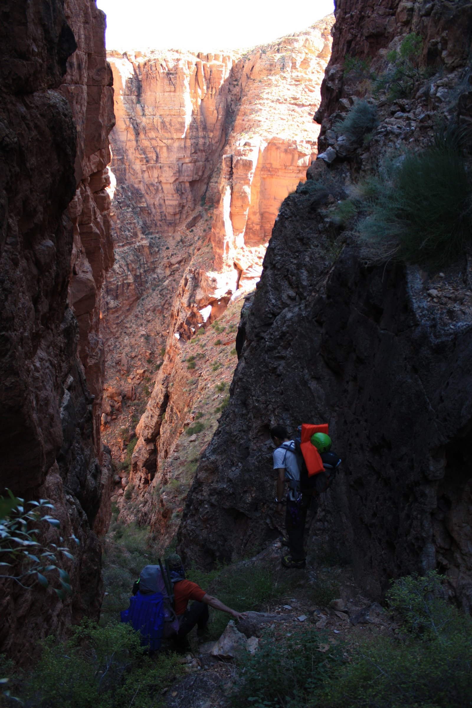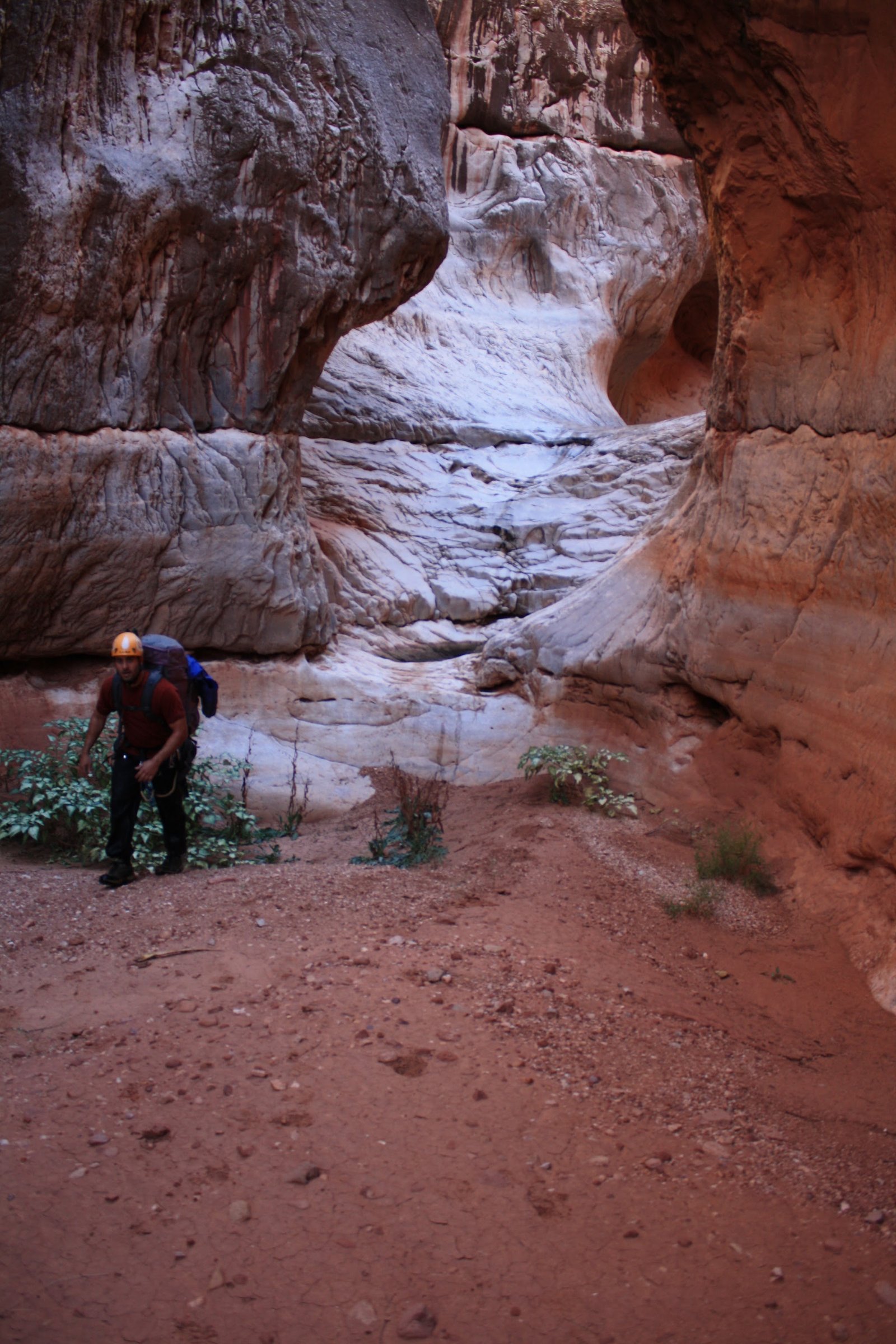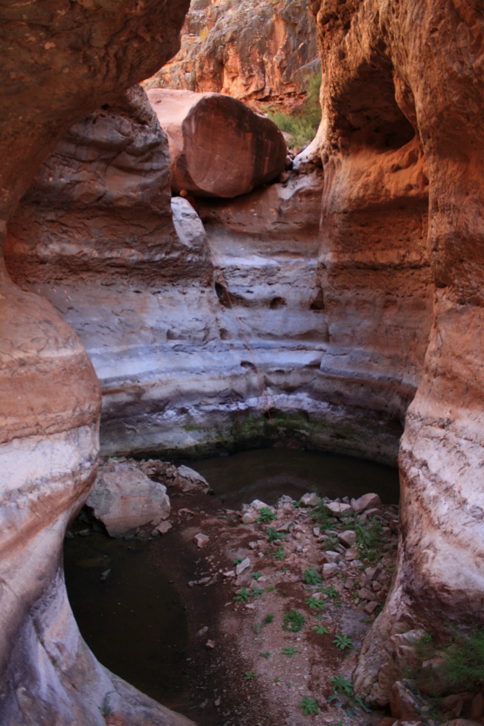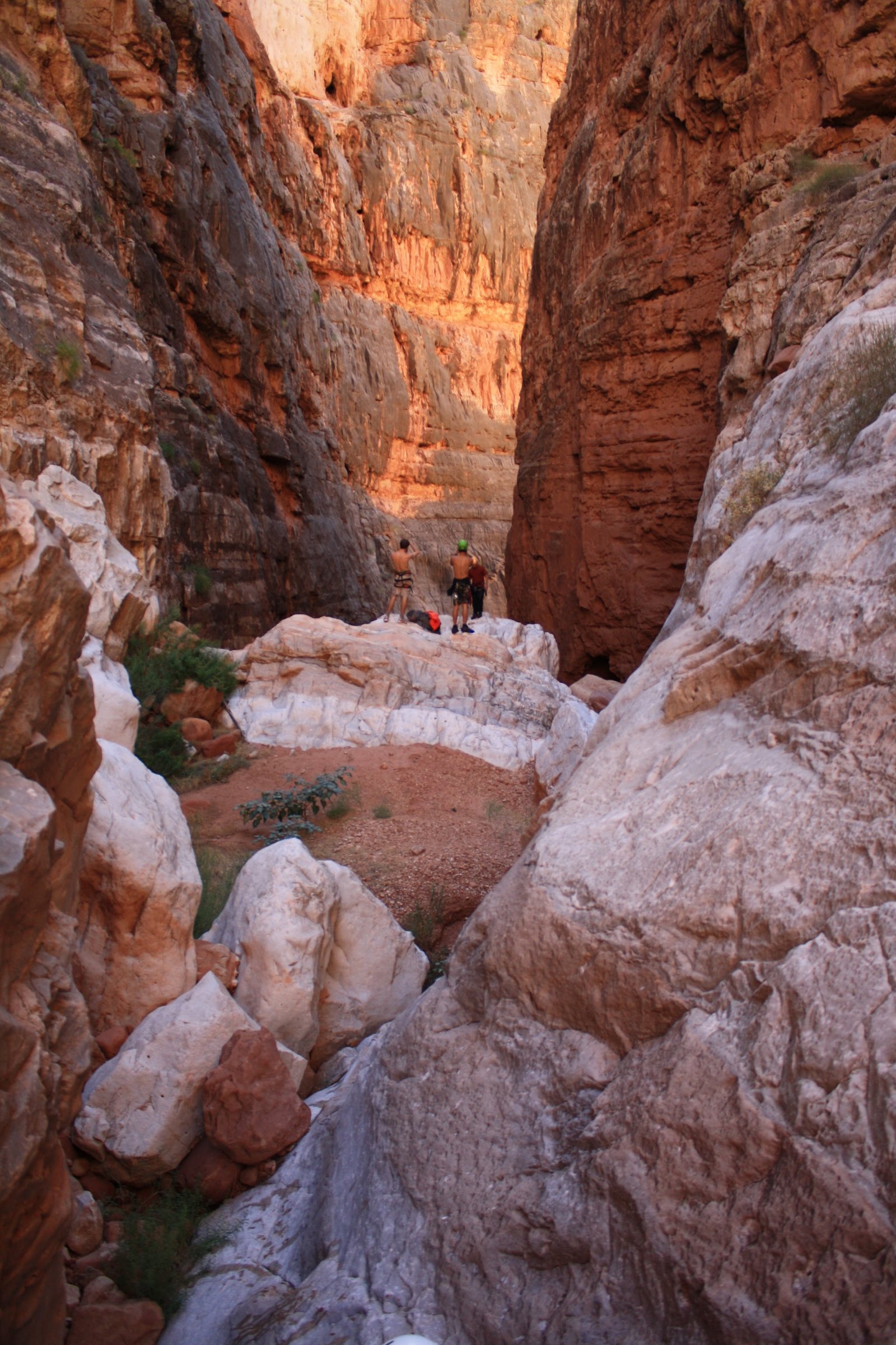
Tatahatso
Canyon
Grand Canyon
The Canyon ChroniclesArizona
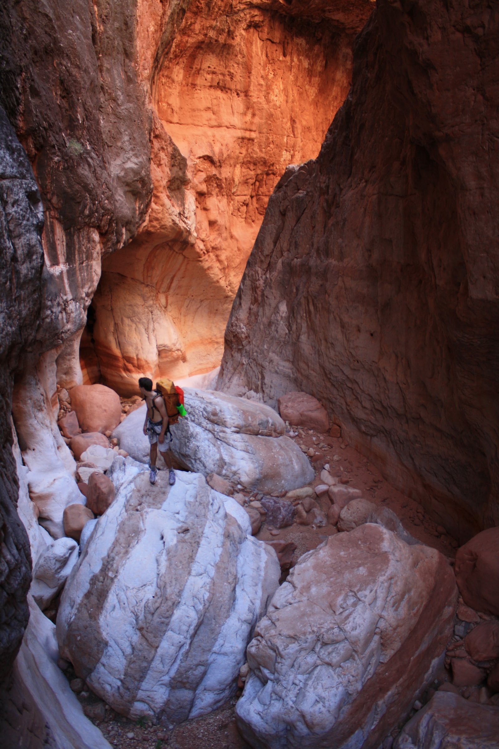
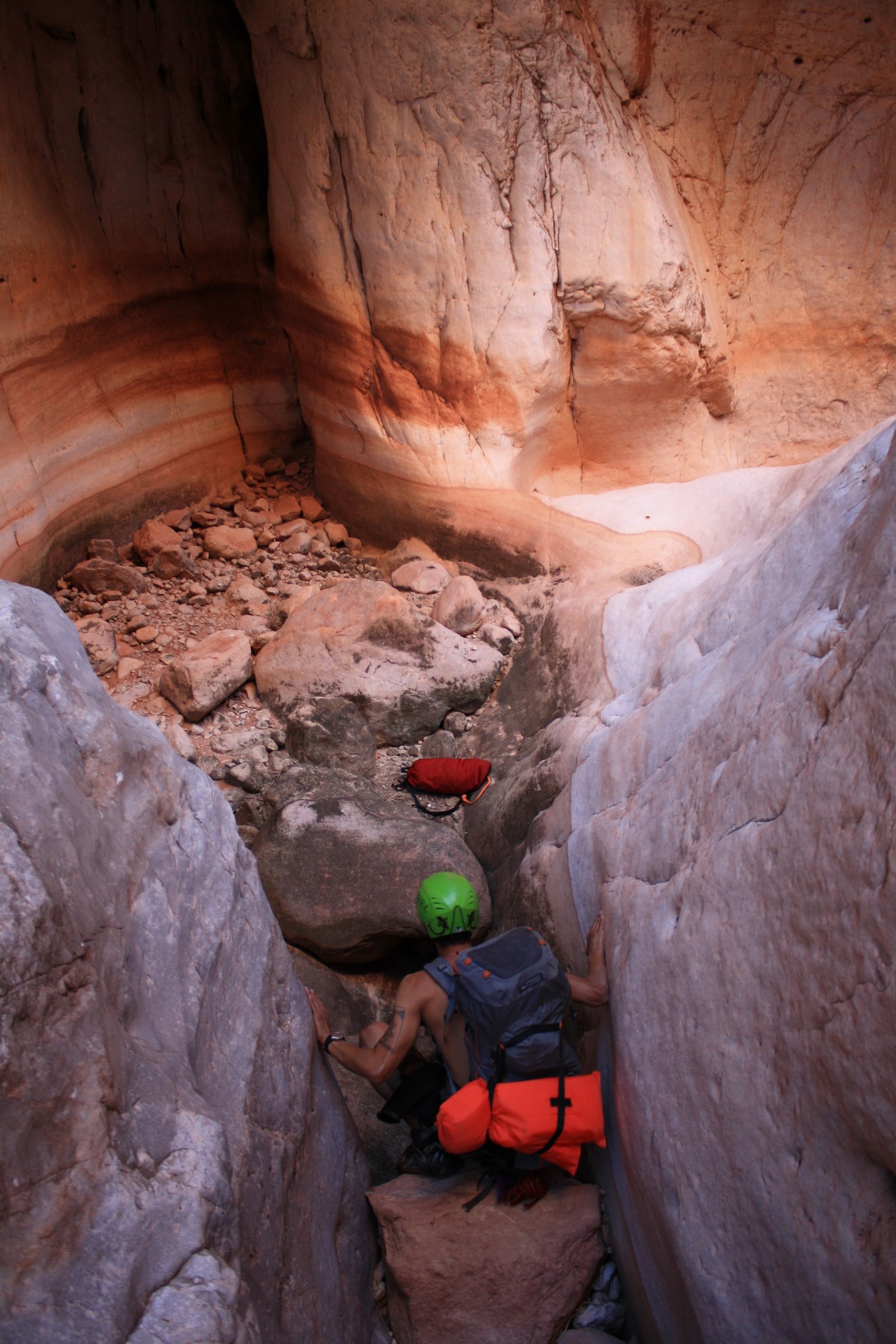
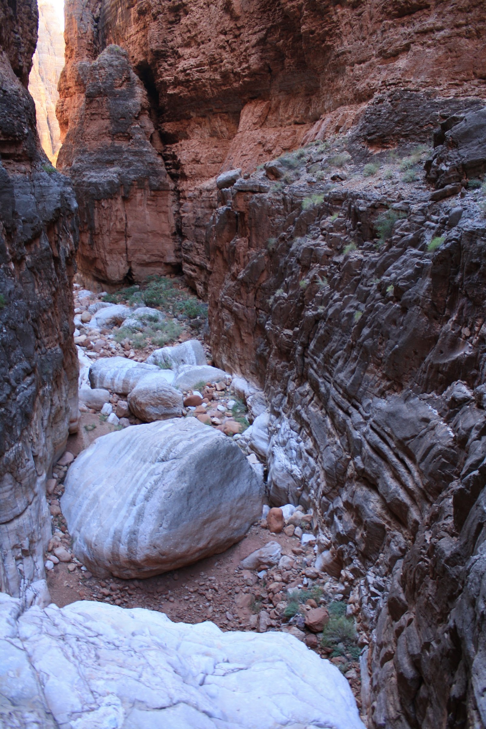
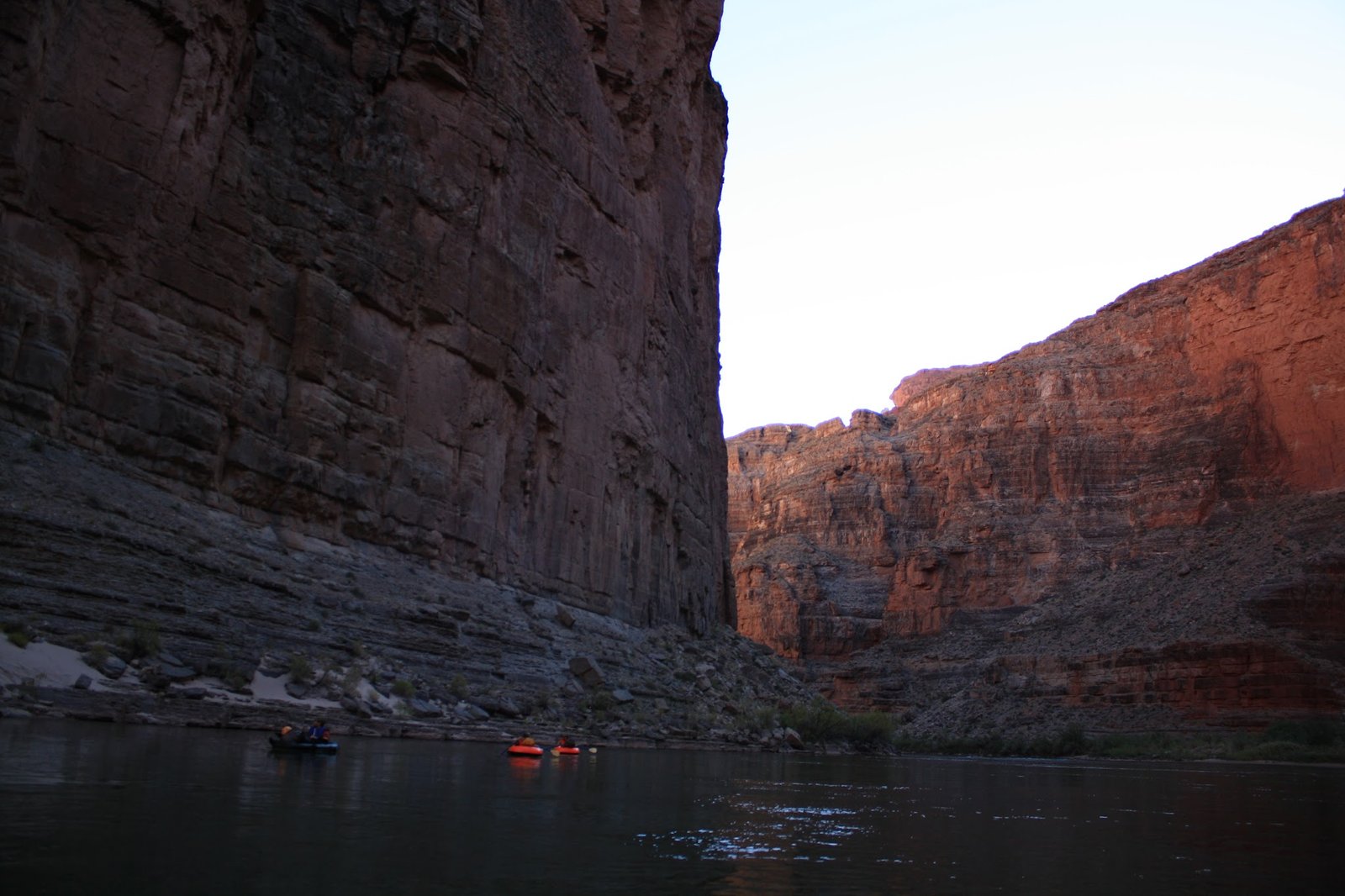
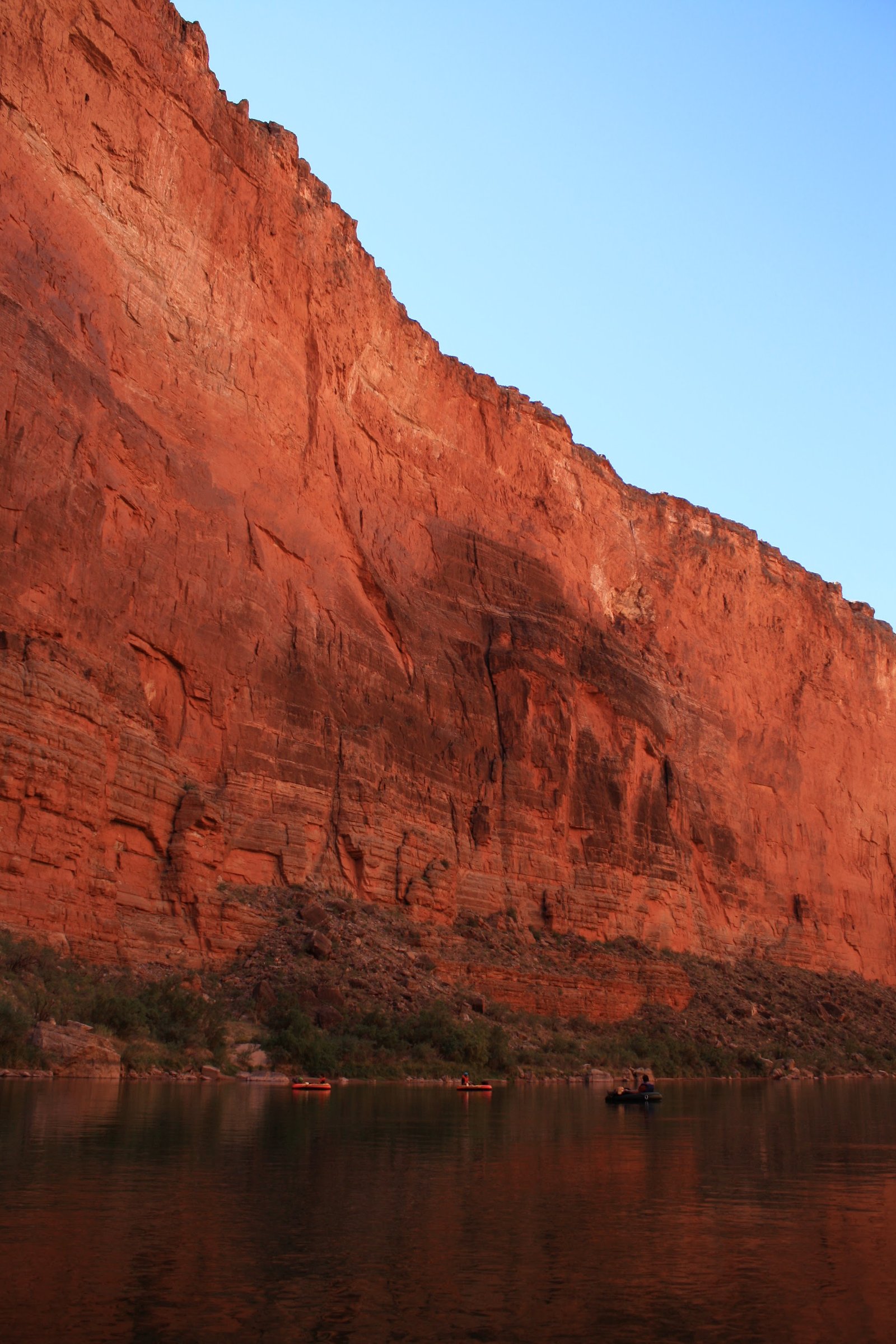
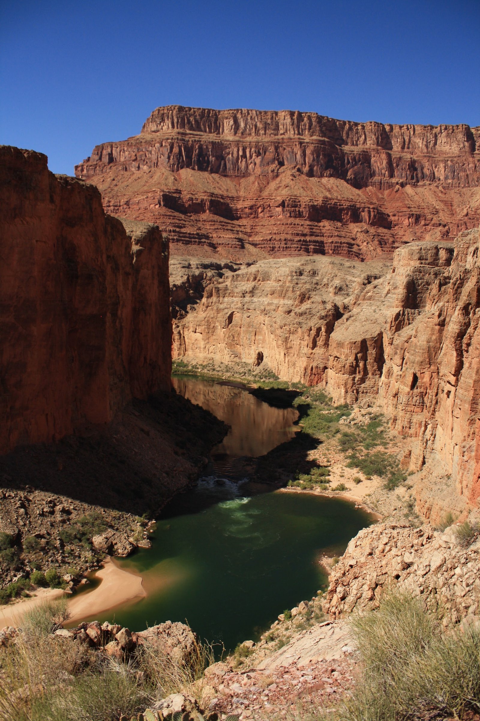
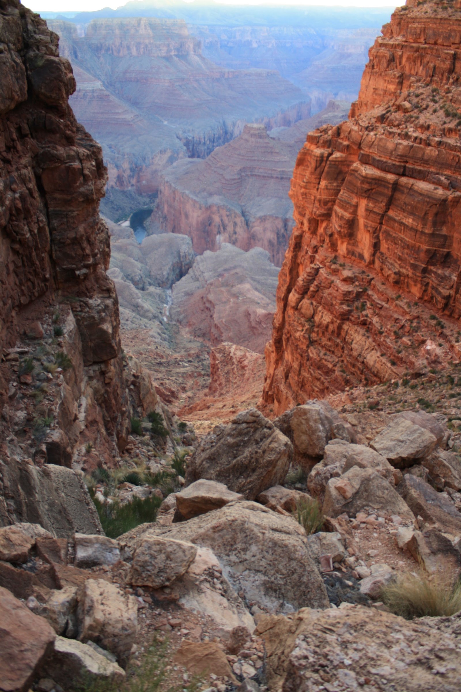
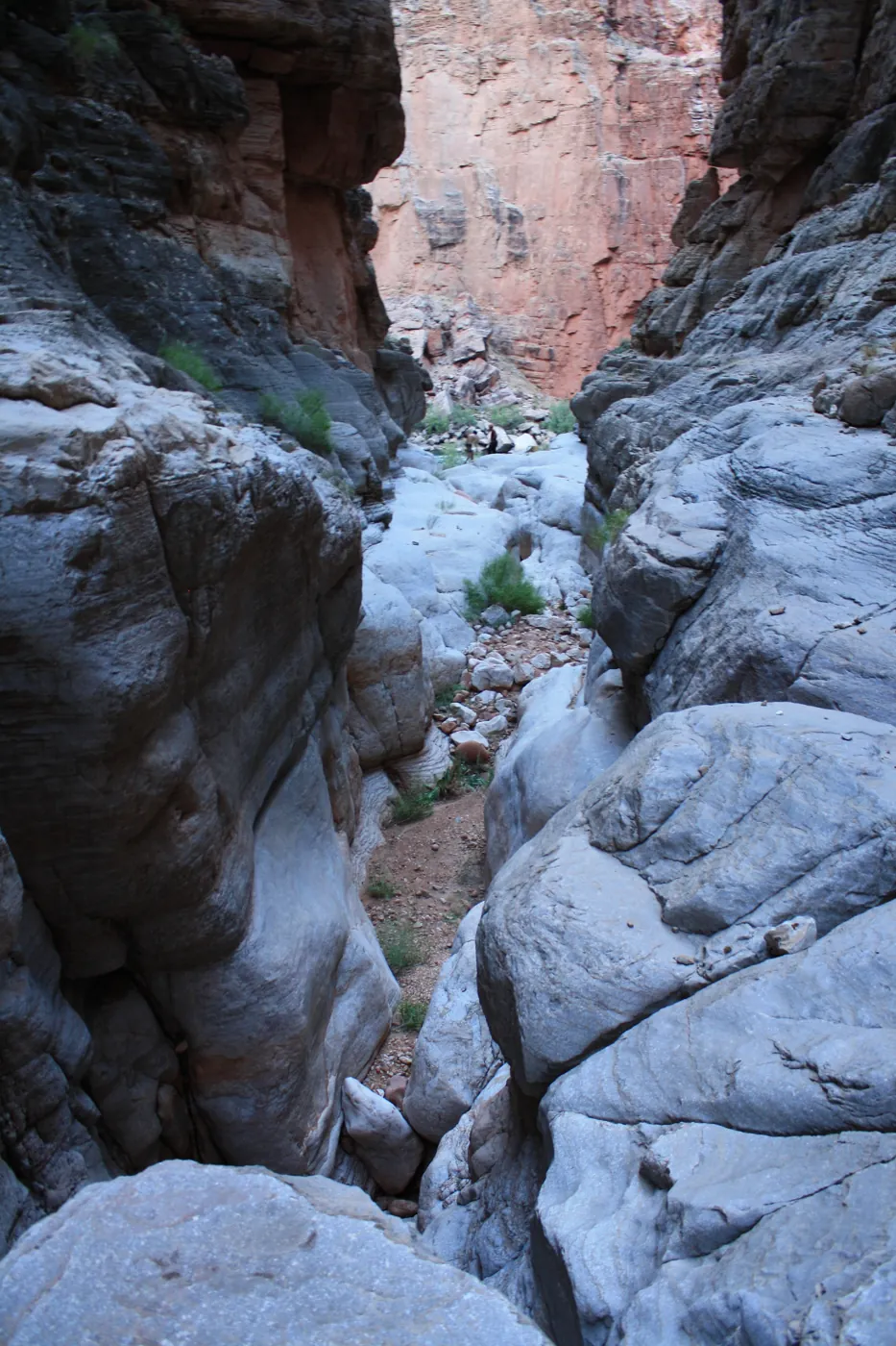
On the Navajo side of Marble Canyon, Tatahatso cuts through the Redwall Limestone on its long descent toward the Colorado River. This is austere country, carved on a scale that makes human ambition seem faintly ridiculous. The stone keeps its own history, the river writes the last chapter, and anyone passing through is merely borrowing the place for an afternoon.
Overview
- Collection
- Grand Canyon
- Visits
- 1 recorded
- Years
- 2010
- Photographs
- 47
- Reference
- Canyon notes ↗
Tatahatso Canyon cuts through the Redwall Limestone on the Navajo side of Marble Canyon to the Colorado River.
September 25, 2010
Route & map
Tatahatso Canyon
The map is on its way.
Route map coming soon.
Geology
Grand Canyon country exposes a succession of sandstone, shale, and limestone, with older rocks deeper in the landscape. Differences in resistance to erosion help shape the cliffs, ledges, and recesses of its side canyons.
Hazards
Flooding, changing water levels, loose rock, and exposure can alter a canyon trip considerably. Check weather across the drainage, access requirements, and the conditions of the intended route. Any technical descent needs its own verified rope, anchor, and exit plan.
Canyon reference ↗ · These photographs record past visits. Detailed route information is being checked separately.
Photo albums
1 trip · 47 photographs
Select a visit to open its photographs.