Avocado
Canyon
Mogollon Rim
The Canyon ChroniclesArizona
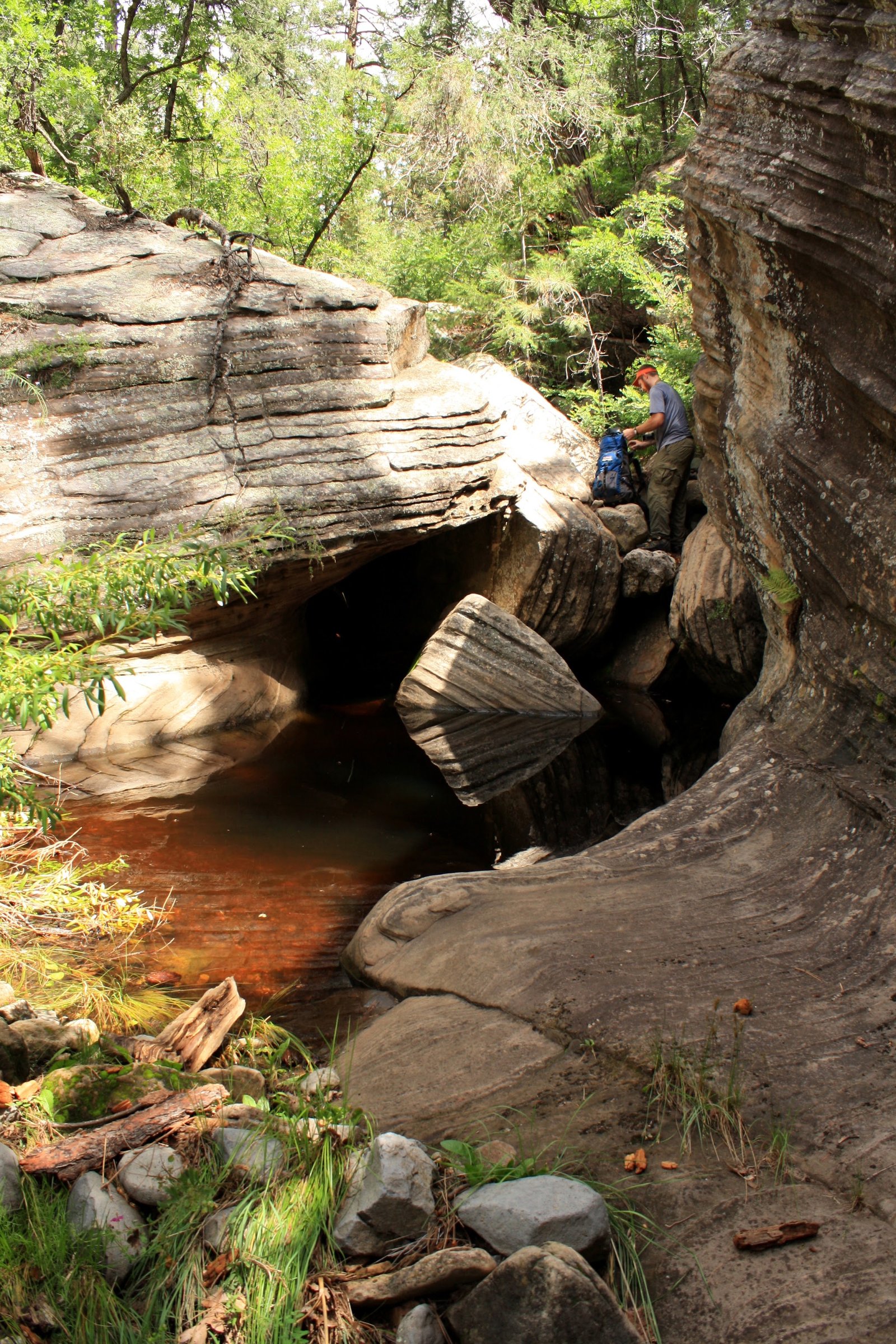
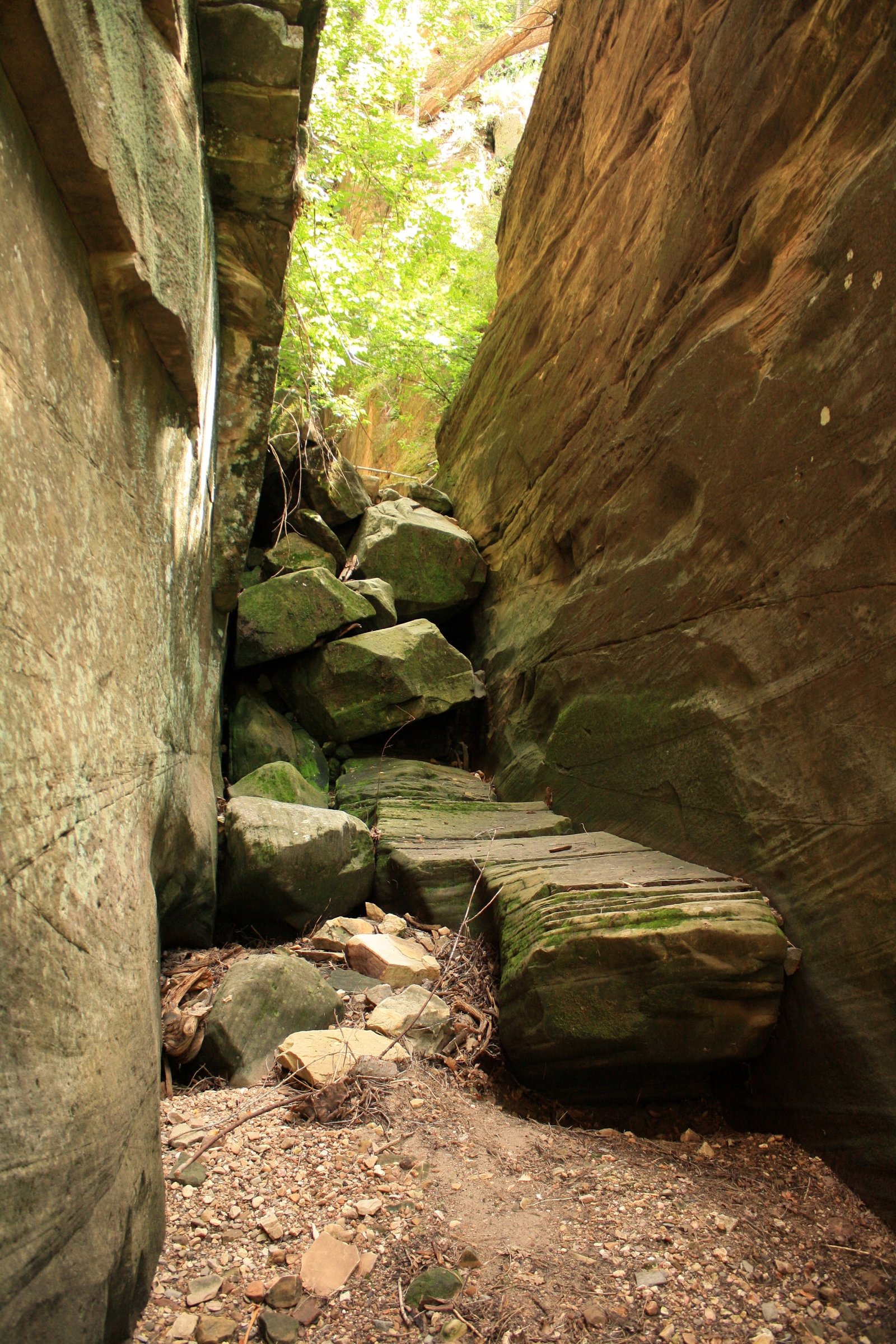
Avocado Canyon is a tributary of West Clear Creek below the Mogollon Rim.
Overview
- Collection
- Mogollon Rim
- Visits
- 1 recorded
- Years
- 2010
- Photographs
- 18
- Reference
- Being confirmed
Avocado Canyon is a tributary of West Clear Creek below the Mogollon Rim.
August 22, 2010
Route & map
Avocado Canyon
The map is on its way.
Route map coming soon.
Geology
Along the Mogollon Rim and adjoining highlands, sedimentary strata meet a wider landscape of igneous and metamorphic rocks. The region’s abrupt relief marks the transition between the Colorado Plateau and Arizona’s central highlands.
Hazards
Flooding, changing water levels, loose rock, and exposure can alter a canyon trip considerably. Check weather across the drainage, access requirements, and the conditions of the intended route. Any technical descent needs its own verified rope, anchor, and exit plan.
These photographs record past visits. Detailed route information is being checked separately.
Photo albums
1 trip · 18 photographs
Select a visit to open its photographs.