Apache Trail
Canyon
Superstitions
The Canyon ChroniclesArizona
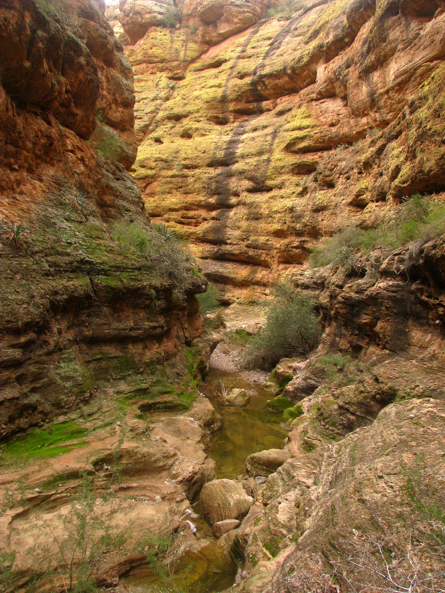
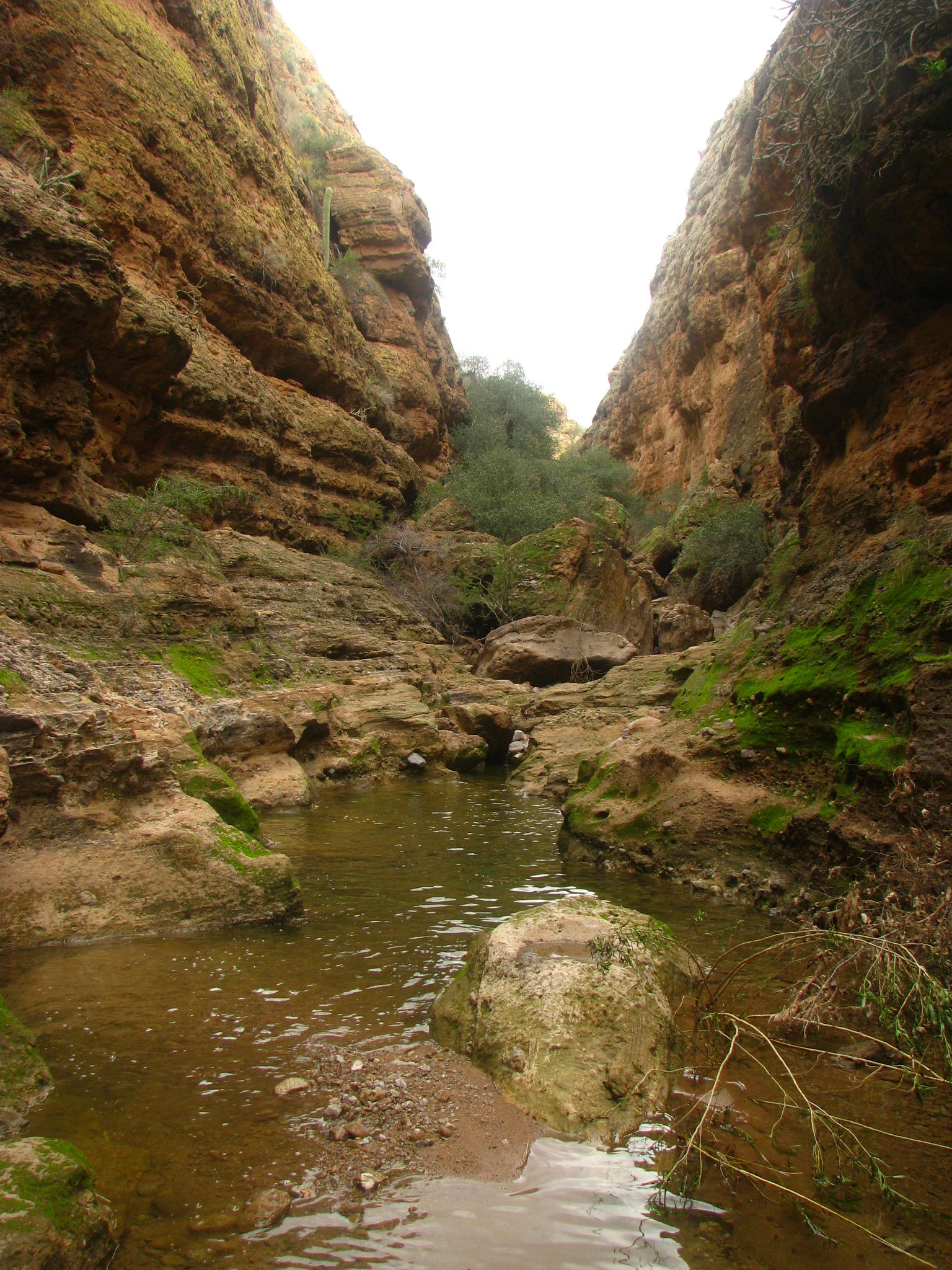
Apache Trail Canyon is a drainage near Tortilla Flat in the Superstition Mountains.
Overview
- Collection
- Superstitions
- Visits
- 1 recorded
- Years
- 2010
- Photographs
- 24
- Reference
- Canyon notes ↗
Apache Trail Canyon is a drainage near Tortilla Flat in the Superstition Mountains.
February 8, 2010
Route & map
- Published route
- Reference point
Route data: On Rope Canyoneering ↗. Terrain: Esri; detailed elevation: USGS 3DEP when available. This published reference route is not a record of the archive visit. Waypoints are approximate; verify conditions, access, anchors and the exit independently.
Geology
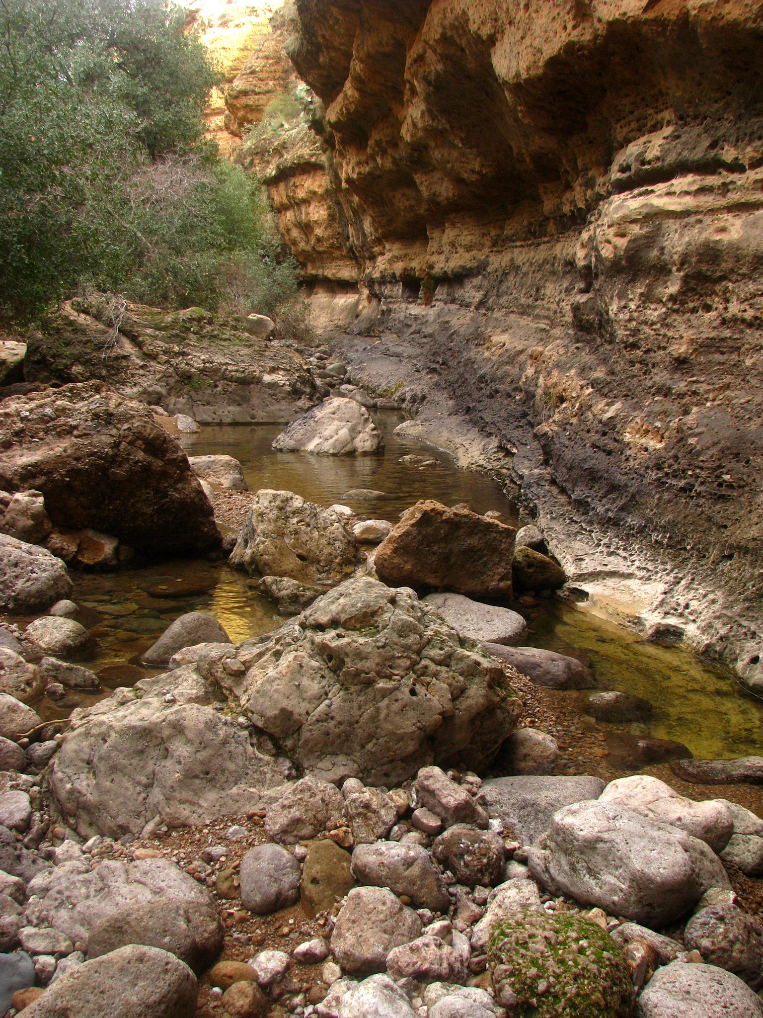
The Superstition region preserves a volcanic landscape. Near Fish Creek Canyon, ash-flow tuffs occur alongside rhyolite lava, recording the eruptions that built much of the surrounding country before erosion cut its drainages.
Hazards
Flooding, changing water levels, loose rock, and exposure can alter a canyon trip considerably. Check weather across the drainage, access requirements, and the conditions of the intended route. Any technical descent needs its own verified rope, anchor, and exit plan.
Canyon reference ↗ · These photographs record past visits. Detailed route information is being checked separately.
Photo albums
1 trip · 24 photographs
Select a visit to open its photographs.